Browse / Burkina Faso / Cascades / Sindou
Sindou
Cascadestown

Sindou
Total population
3,437
Demographic figures from INSD Burkina Faso. Overview below cites Wikipedia and may reference a different year.
City facts
Sister cities
Facts from Wikidata (CC0).
Overview
Sindou is a town located in the province of Léraba in Burkina Faso. It is the capital of Léraba Province and the Sindou Department.
Read more on WikipediaHistory & geography
Geography
Coordinates & boundaries from the US Census TIGER/Line shapefiles.
Climate
10-year averages from ERA5 reanalysis (Open-Meteo).
Air quality
Walkability
Amenities nearby
Wildlife & biodiversity
Most-observed species
- Guiera senegalensis J.F.Gmel.Guiera senegalensis J.F.Gmel. · Magnoliopsida2
- RoucouBixa orellana L. · Magnoliopsida1
- Hophead Philippine VioletBarleria lupulina Lindl. · Magnoliopsida1
- NeemAzadirachta indica A.Juss. · Magnoliopsida1
- MangoMangifera indica L. · Magnoliopsida1
- MaizeZea mays L. · Liliopsida1
Citizen-science & research observations from the Global Biodiversity Information Facility (GBIF).
Earthquake history
Events from the USGS Earthquake Catalog (global) (FDSN Event Web Service).
Photos
Sights & places nearby
Notable people from here
Nearby places in Cascades
- Kawara3.6 mi away · pop. 2,424
- Moussono4.9 mi away
- Bafaso5.8 mi away
- Luniongo11 mi away
- Gouindougouni11.3 mi away · pop. 2,630
- Kapere13.2 mi away
- Dolofa14.4 mi away
- Niangoloko30.9 mi away · pop. 22,310
- Kassandé60.2 mi away · pop. 1,459
- Sidéradougou61.5 mi away · pop. 6,191
- Kanamisse88.1 mi away
- Talsint1515.6 mi away · pop. 9,079
Geography & sun
Elevation, sunrise/sunset and daylight from Open-Meteo. Solar climatology from NASA POWER.
Nearby airports
Public attention
Pageview totals from the Wikimedia Pageviews API.
Books about this place
Recent natural events nearby
Ground air-quality sensors
Recently spotted species
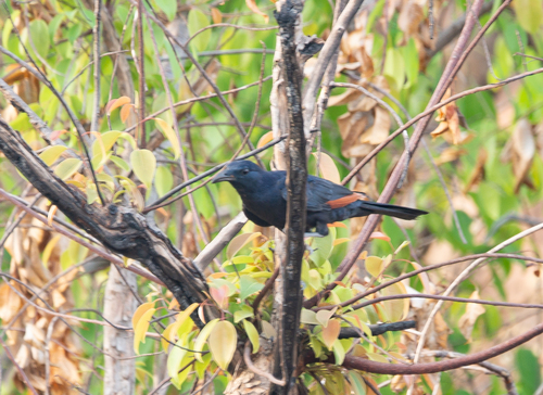
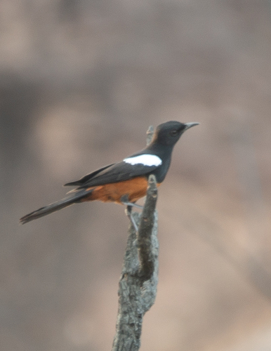
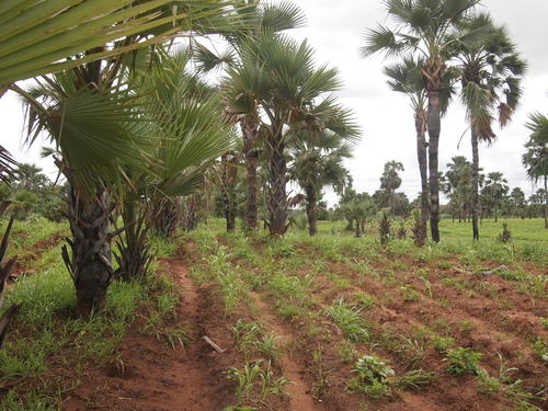
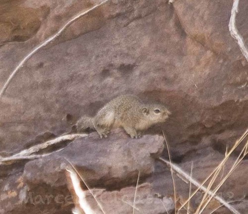
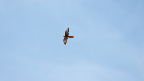
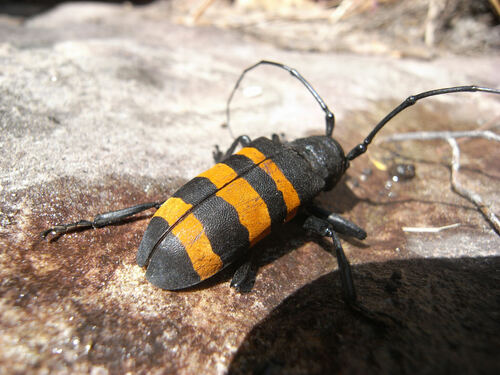
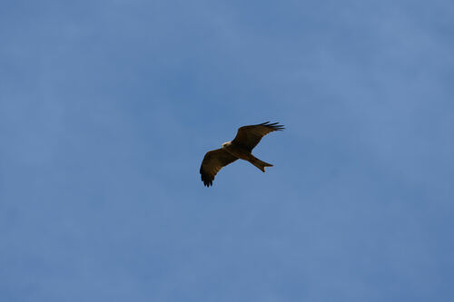
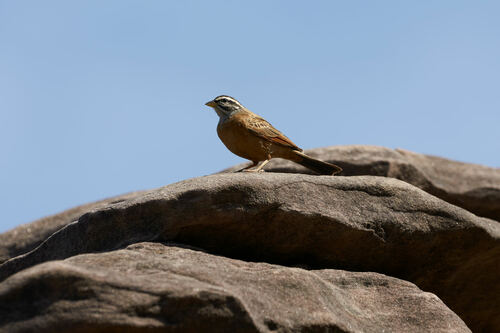

Research-grade observations from iNaturalist (within ~15 mi).
Events
Gallery
Sources
- • Wikipedia
- • Open-Meteo (ERA5 reanalysis)
- • Wikidata
- • USGS Earthquake Catalog (global feed)
- • GBIF (Global Biodiversity Information Facility)
- • iNaturalist
- • Open-Meteo / sunrise-sunset.org
- • Wikipedia Pageviews API