Browse / Bulgaria / Burgas / Aytos
Aytos
Burgastown

Aytos
Total population
19,615
Demographic figures from NSI Bulgaria. Overview below cites Wikipedia and may reference a different year.
City facts
Facts from Wikidata (CC0).
Overview
Aytos, sometimes written Aitos and Ajtos, is a town located in eastern Bulgaria some 30 kilometers from the Bulgarian Black Sea Coast and belonging to the administrative boundaries of Burgas Province. It is the administrative centre of the homonymous Aytos Municipality. As of December 2021, the town has a population of 18,974 inhabitants. It lies in the Aytos Valley, the easternmost of the eleven Sub-Balkan valleys.
Read more on WikipediaHistory & geography
History
Aytos has a rich and long history dating back to antiquity. Founded by Thracian tribes, archaeological finds near the town testify that its existence dates back to the 5th century BC. Throughout the centuries, the town has been known under different names including Aetòs (in Greek Αετός meaning eagle), Astòs (Αστός), Eidos (Είδος), Aquilia, Tchengis, etc. During the reign of Khan Tervel, the region was incorporated in the Bulgarian Empire for the first time. The fortress Aetos took an important part in the defensive system of the Bulgarian lands against the sudden attacks of the Tatars, the Avars and the Crusaders. In 1206, Aytos together with many cities in Bulgarian province of Thrace was destroyed by the Crusaders, led by Henry of Flanders. Henry of Flanders was a brother of Baldwin I, emperor of Latin Empire of Constantinople. A fortified city was rebuilt at 1488. In 1378 the town was conquered by the armies of the Ottoman Empire under Murad I. During the Russian-Turkish War (1828–1829), General Hans Karl von Diebitsch turned the town into a strategic strong point. After the Treaty of Edirne in 1829, many of the town's citizens fled to Bessarabia to join the Bessarabian Bulgarians. During the Bulgarian National Revival the population participated in the Bulgarian struggles for liberation. Vasil Levski organized a revolutionary committee in the town. After the Liberation, Aytos became a commercial center, reputedly more important than Burgas. The first girls' agricultural school in the country was established in Aytos during the period.
Geography
The town is located in eastern Bulgaria some 30 kilometers from the Bulgarian Black Sea Coast and belonging to the administrative boundaries of Burgas Province. It is situated in the Aytos Valley, enclosed between the Balkan Mountains, the Hisar Heights and the Burgas Plain.
Excerpted from the corresponding Wikipedia article (CC BY-SA).
Geography
Coordinates & boundaries from the US Census TIGER/Line shapefiles.
Climate
Air quality
Walkability
Amenities nearby
Wildlife & biodiversity
Most-observed species
- Common BuzzardButeo buteo (Linnaeus, 1758) · Aves649
- Eurasian Marsh-HarrierCircus aeruginosus (Linnaeus, 1758) · Aves583
- Eurasian KestrelFalco tinnunculus Linnaeus, 1758 · Aves518
- Eurasian MagpiePica pica (Linnaeus, 1758) · Aves452
- European StarlingSturnus vulgaris Linnaeus, 1758 · Aves435
- Barn SwallowHirundo rustica Linnaeus, 1758 · Aves430
- Common ShelduckTadorna tadorna (Linnaeus, 1758) · Aves401
- White StorkCiconia ciconia (Linnaeus, 1758) · Aves394
Citizen-science & research observations from the Global Biodiversity Information Facility (GBIF).
Earthquake history
Most recent
- M 4.6 — 2022-04-0414 km SE of Provadia, Bulgaria
- M 4 — 2015-04-0211 km N of Topolovgrad, Bulgaria
- M 4.2 — 2015-02-0512 km ENE of Tvarditsa, Bulgaria
- M 3.9 — 2013-08-138 km SE of Provadia, Bulgaria
- M 4.1 — 2013-07-0914 km N of Topolovgrad, Bulgaria
- M 4.4 — 2010-10-0714 km NW of Dolni Chiflik, Bulgaria
Events from the USGS Earthquake Catalog (global) (FDSN Event Web Service).
Photos
Sights & places nearby
Notable people from here


People born within ~10 km, from Wikidata (CC0). Click any name for their Wikipedia article.
Nearby places in Burgas
- Liaskovo2.6 mi away · pop. 144
- Sadievo4.2 mi away · pop. 361
- Malka Polyana4.4 mi away · pop. 428
- Karanovo5 mi away · pop. 851
- Yabalchevo6.4 mi away · pop. 1,193
- Zaichar6.7 mi away · pop. 1,140
- Preobrajentsi7.6 mi away · pop. 457
- Cherna Mogila8.2 mi away · pop. 383
- Krastina8.3 mi away · pop. 861
- Kameno9.2 mi away · pop. 5,329
- Sokolovo9.5 mi away · pop. 378
- Svoboda9.8 mi away · pop. 561
Geography & sun
Elevation, sunrise/sunset and daylight from Open-Meteo. Solar climatology from NASA POWER.
Nearby airports
Public attention
Pageview totals from the Wikimedia Pageviews API.
Books about this place
Recent natural events nearby
Ground air-quality sensors
Recently spotted species
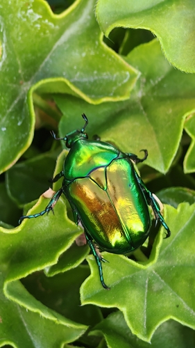

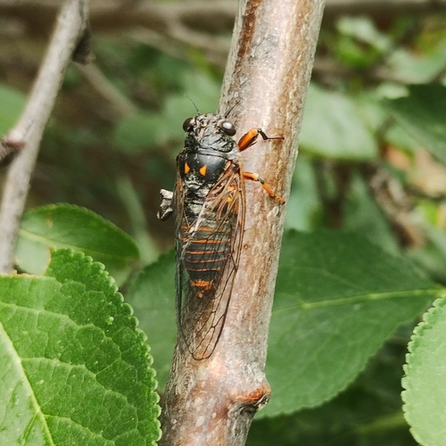
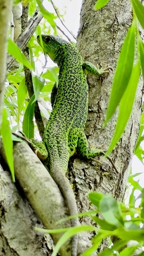

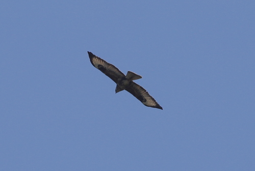


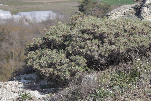
Research-grade observations from iNaturalist (within ~15 mi).
Events
Gallery
Sources
- • Wikipedia
- • Wikidata
- • USGS Earthquake Catalog (global feed)
- • GBIF (Global Biodiversity Information Facility)
- • iNaturalist
- • Open-Meteo / sunrise-sunset.org
- • Wikipedia Pageviews API