Browse / Bulgaria / Silistra / Boil
Boil
Silistravillage
Demographic figures from NSI Bulgaria. Overview below cites Wikipedia and may reference a different year.
City facts
Overview
Set in Silistra, Bulgaria, Boil is recorded in open geodata as a village. No reliable population estimate is published for this entry in the open data we rely on. Boil maps to 43.808°, 26.952° — squarely within the temperate belt. The latitude suggests four distinct seasons with warm summers and cold winters. The location receives about 1,426 kWh/m² of solar irradiance per year and sunshine for roughly 56% of daylight hours. Continue scrolling for population, climate, environmental and points-of-interest data drawn from public sources.
Summary composed automatically from structured open data on this page. See our Terms for details.
History & geography
Geography
Coordinates & boundaries from the US Census TIGER/Line shapefiles.
Climate
Air quality
Walkability
Amenities nearby
Wildlife & biodiversity
Most-observed species
- White StorkCiconia ciconia (Linnaeus, 1758) · Aves79
- corn buntingEmberiza calandra Linnaeus, 1758 · Aves49
- European Ground SquirrelSpermophilus citellus (Linnaeus, 1766) · Mammalia37
- Eurasian SkylarkAlauda arvensis Linnaeus, 1758 · Aves37
- Western Yellow WagtailMotacilla flava Linnaeus, 1758 · Aves28
- Common BuzzardButeo buteo (Linnaeus, 1758) · Aves27
- Isabelline WheatearOenanthe isabellina (Temminck, 1829) · Aves25
- Eurasian MagpiePica pica (Linnaeus, 1758) · Aves19
Citizen-science & research observations from the Global Biodiversity Information Facility (GBIF).
Earthquake history
Most recent
- M 4 — 2024-02-054 km SSW of Căzăneşti, Romania
- M 4.6 — 2022-04-0414 km SE of Provadia, Bulgaria
- M 3.9 — 2013-08-138 km SE of Provadia, Bulgaria
- M 4.4 — 2010-10-0714 km NW of Dolni Chiflik, Bulgaria
- M 2.7 — 2008-07-131 km SW of Antonovo, Bulgaria
- M 2.6 — 2007-12-0110 km E of Ruse, Bulgaria
Events from the USGS Earthquake Catalog (global) (FDSN Event Web Service).
Photos
Sights & places nearby
Notable people from here


People born within ~10 km, from Wikidata (CC0). Click any name for their Wikipedia article.
Geography & sun
Elevation, sunrise/sunset and daylight from Open-Meteo. Solar climatology from NASA POWER.
Nearby airports
Public attention
Books about this place
Recent natural events nearby
Ground air-quality sensors
Recently spotted species
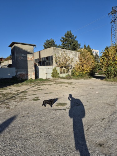
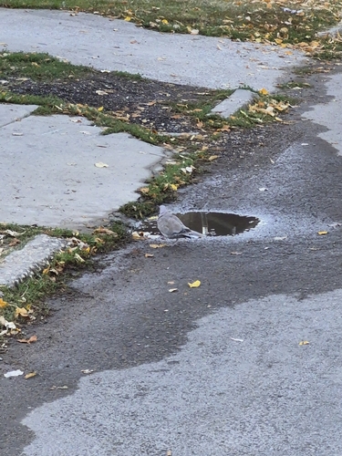
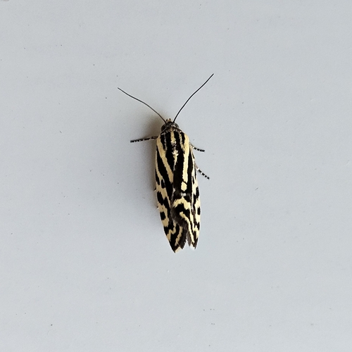
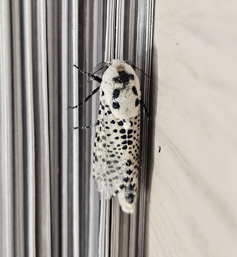
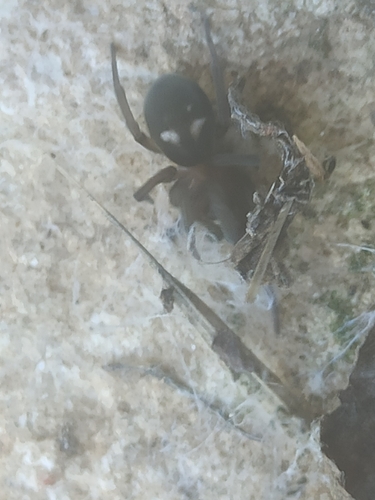
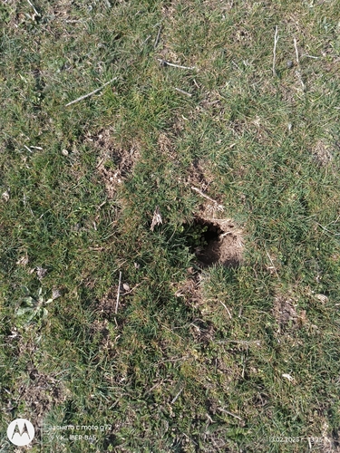
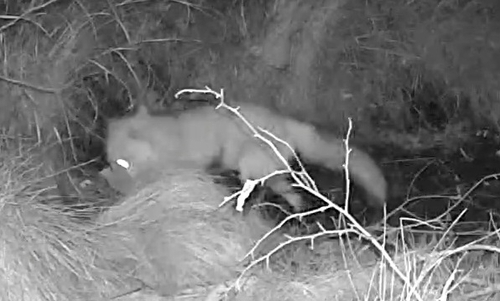
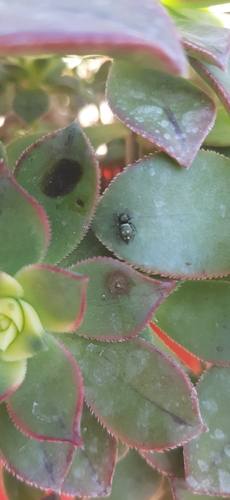
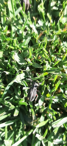
Research-grade observations from iNaturalist (within ~15 mi).
Events
Gallery
Sources
- • Wikidata
- • USGS Earthquake Catalog (global feed)
- • GBIF (Global Biodiversity Information Facility)
- • iNaturalist
- • Open-Meteo / sunrise-sunset.org