Browse / Bulgaria / Kyustendil / Dupnitsa
Dupnitsa
Kyustendiltown

Dupnitsa
Total population
37,081
Demographic figures from NSI Bulgaria. Overview below cites Wikipedia and may reference a different year.
City facts
Sister cities
Facts from Wikidata (CC0).
Overview
Dupnitsa, or Dupnica, is a town in Western Bulgaria. It is at the foot of the highest mountains in the Balkan Peninsula – the Rila Mountains, and about 50 km (31 mi) south of the capital Sofia. Dupnitsa is the second largest town in Kyustendil Province.
Read more on WikipediaHistory & geography
History
The town has existed since ancient times. The German traveller Arnold von Harff visited Dupnitsa On a hill overlooking the town there is a giant cross, commemorating the Bulgarians who perished in the Balkan Wars and World War I. On the same hill there lay the ruins of a medieval fortress. During World War II over 4,000 Jews from parts of Greece and Yugoslavia annexed by Bulgaria were arrested on 4 March 1943 and deported, some to an internment camp in Dupnitsa. Many of them were from Komotini and Xanthi. After 11 to 12 days in the Dupnitsa camp, on 18 – 19 March they were transferred by train to Lom on the Danube for extermination at Treblinka. As part of the Bulgarian Commissariat for Jewish Affairs's policy of deporting Jews, Dupnitsa also was between June 1943 and September 1944 the site of a ghetto for 1,624 Jews expelled from Sofia, even though there was ultimately no exterminations of Jews resident within Bulgaria's pre-war borders. Hristov and Galev are fugitives after having been sentenced to five and four years respectively but are still believed to control the town.
Excerpted from the corresponding Wikipedia article (CC BY-SA).
Geography
Coordinates & boundaries from the US Census TIGER/Line shapefiles.
Climate
Air quality
Walkability
Amenities nearby
Wildlife & biodiversity
Most-observed species
- corn buntingEmberiza calandra Linnaeus, 1758 · Aves234
- Common ChaffinchFringilla coelebs Linnaeus, 1758 · Aves209
- Eurasian BlackbirdTurdus merula Linnaeus, 1758 · Aves206
- White StorkCiconia ciconia (Linnaeus, 1758) · Aves141
- White WagtailMotacilla alba Linnaeus, 1758 · Aves140
- Great TitParus major Linnaeus, 1758 · Aves140
- Common House-MartinDelichon urbicum (Linnaeus, 1758) · Aves131
- European RobinErithacus rubecula (Linnaeus, 1758) · Aves121
Citizen-science & research observations from the Global Biodiversity Information Facility (GBIF).
Earthquake history
Most recent
- M 3.5 — 2023-09-092 km SE of Simitli, Bulgaria
- M 4.2 — 2022-04-256 km SW of Kocherinovo, Bulgaria
- M 4 — 2022-04-2510 km SW of Blagoevgrad, Bulgaria
- M 2.9 — 2022-01-162 km NNW of Radomir, Bulgaria
- M 4.4 — 2019-12-3014 km S of Samokov, Bulgaria
- M 4.2 — 2018-08-0217 km NW of Gotse Delchev, Bulgaria
Events from the USGS Earthquake Catalog (global) (FDSN Event Web Service).
Photos
Sights & places nearby
Notable people from here


People born within ~10 km, from Wikidata (CC0). Click any name for their Wikipedia article.
Nearby places in Kyustendil
Geography & sun
Elevation, sunrise/sunset and daylight from Open-Meteo. Solar climatology from NASA POWER.
Nearby airports
Public attention
Pageview totals from the Wikimedia Pageviews API.
Books about this place
Recent natural events nearby
Ground air-quality sensors
Recently spotted species
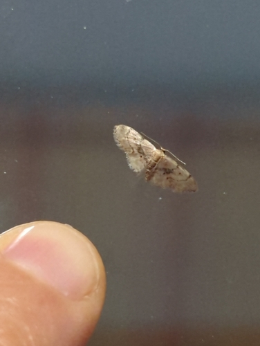
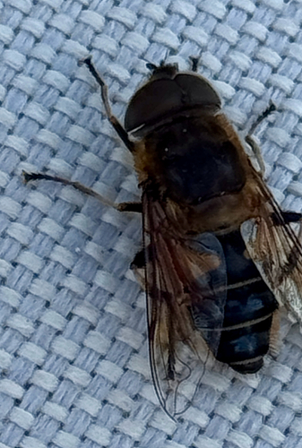
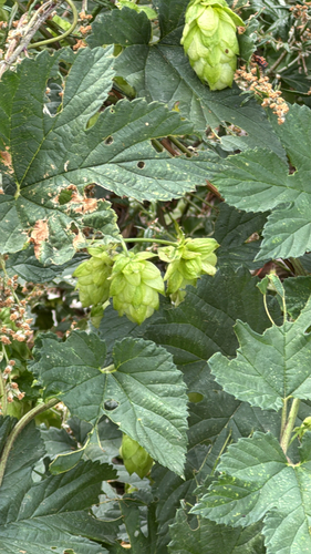
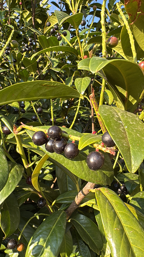
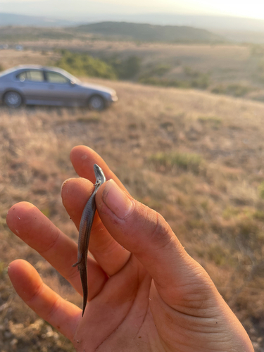
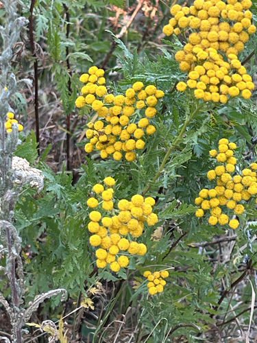
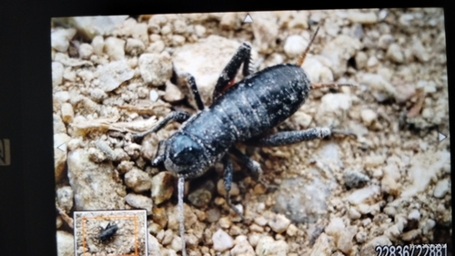
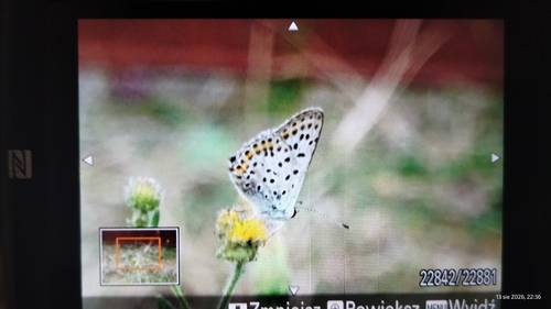
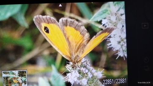
Research-grade observations from iNaturalist (within ~15 mi).
Events
Gallery
Sources
- • Wikipedia
- • Wikidata
- • USGS Earthquake Catalog (global feed)
- • GBIF (Global Biodiversity Information Facility)
- • iNaturalist
- • Open-Meteo / sunrise-sunset.org
- • Wikipedia Pageviews API