Browse / Bulgaria / Stara Zagora / Kran
Kran
Stara Zagoratown
Total population
3,095
Demographic figures from NSI Bulgaria. Overview below cites Wikipedia and may reference a different year.
City facts
Facts from Wikidata (CC0).
Overview
Kran is a town in central Bulgaria. It is located just south of the Balkan Mountains and is administratively part of Kazanlak Municipality, Stara Zagora Province. Kran was an important castle of the Second Bulgarian Empire in the 13th–14th century. Among the local sights are a conserved ancient Thracian tomb, a much older Thracian sanctuary and the ruins of the medieval fortress.
Read more on WikipediaHistory & geography
History
Kran is located in the so-called Valley of the Thracian Kings, a region of Bulgaria known for the abundance of Thracian sites and artifacts. In 1995, a team of archaeologists headed by Georgi Kitov unearthed a Thracian tomb under Sarafova Mogila, a mound near the town. The tomb is known as Kran II and was built in the 4th century BC. The tomb is notable for the earliest known example of painted friezes in Thracian architecture. It is also among the earliest to make use of bricks and mortar as construction materials. The conservation of the Kran II tomb was completed in 2009 and the site was opened to the public. A Thracian sanctuary was discovered by archaeologists near the town in 2009. The sanctuary dates to 2200–1900 BC and also includes nine burials of infants. Kran is first mentioned under its modern name during the High Middle Ages. In 1190, the surviving Byzantine troops of a failed anti-Bulgarian campaign retreated to Kran en route to Beroia (today Stara Zagora). In the late 13th century, the fortress of Kran emerged as the capital of the Kran Despotate, an appanage of the Second Bulgarian Empire under the rule of despot Aldimir, younger brother of the Bulgarian Emperor George Terter I (r. 1280–1292). Aldimir may have already been in charge of the fortress in the 1280s and early 1290s, and he was certainly the lord of Kran from 1298 to 1305, under the regent queen Smiltsena and his own nephew Theodore Svetoslav (r. 1300–1322). In that year, the despotate was annexed by Theodore Svetoslav and direct rule from Tarnovo was restored. At the height of Aldimir's reign as despot of Kran, the fortress was the capital of a domain which extended from Yambol and Karnobat in the east to Kazanlak or Karlovo in the west.
Geography
Kran lies some north of the city of Kazanlak in the homonymous Kazanlak Valley. It is situated in direct vicinity of the Shipka Pass, a major pass through the Central Balkan Mountains. The mountains stand just to the north of the town. Among the amenities that the town offers are a motel and a camping site. As of 2010, Kran was the most populous village in Stara Zagora Province. Due to the village's population, the mayor Temenuzhka Lyutskanova formally suggested that it be proclaimed a town. In October 2011, Kran was formally declared a town by a decision of the Council of Ministers. The industry of the town is represented by the spring factory Zavod za pruzhini AD, founded in 1974 as part of the Kazanlak-based Arsenal AD firearms manufacturing company. Since 1999, the factory has been a separate joint-stock company.
Excerpted from the corresponding Wikipedia article (CC BY-SA).
Geography
Coordinates & boundaries from the US Census TIGER/Line shapefiles.
Climate
Air quality
Walkability
Amenities nearby
Wildlife & biodiversity
Most-observed species
- Common BuzzardButeo buteo (Linnaeus, 1758) · Aves112
- White StorkCiconia ciconia (Linnaeus, 1758) · Aves97
- corn buntingEmberiza calandra Linnaeus, 1758 · Aves82
- Great TitParus major Linnaeus, 1758 · Aves81
- Common ChaffinchFringilla coelebs Linnaeus, 1758 · Aves77
- Great Cormorant/European ShagPhalacrocorax carbo (Linnaeus, 1758) · Aves69
- Gray/Purple HeronArdea cinerea Linnaeus, 1758 · Aves65
- European GoldfinchCarduelis carduelis (Linnaeus, 1758) · Aves57
Citizen-science & research observations from the Global Biodiversity Information Facility (GBIF).
Earthquake history
Most recent
- M 3.6 — 2023-10-237 km NNE of Sadovo, Bulgaria
- M 4.6 — 2023-06-07Bulgaria
- M 4.5 — 2020-05-016 km SW of Rakovski, Bulgaria
- M 4 — 2018-02-229 km SSW of Asenovgrad, Bulgaria
- M 4.4 — 2018-02-213 km NNW of Asenovgrad, Bulgaria
- M 4.5 — 2017-11-262 km S of Anton, Bulgaria
Events from the USGS Earthquake Catalog (global) (FDSN Event Web Service).
Photos
Sights & places nearby
Notable people from here


People born within ~10 km, from Wikidata (CC0). Click any name for their Wikipedia article.
Nearby places in Stara Zagora
- Enina1.4 mi away · pop. 2,397
- Hadzhidimitrovo1.6 mi away · pop. 1,646
- Sheynovo3.4 mi away · pop. 2,025
- Koprinka3.4 mi away · pop. 2,757
- Kazanlak3.4 mi away · pop. 49,032
- Shipka3.9 mi away · pop. 1,267
- Dolno Izvorovo4 mi away · pop. 605
- Dunavtsi4.4 mi away · pop. 652
- Gorno Izvorovo5.5 mi away · pop. 214
- Buzovgrad6 mi away · pop. 2,207
- Golyamo Dryanovo6.7 mi away · pop. 289
- Yasenovo6.8 mi away · pop. 819
Geography & sun
Elevation, sunrise/sunset and daylight from Open-Meteo. Solar climatology from NASA POWER.
Nearby airports
Public attention
Pageview totals from the Wikimedia Pageviews API.
Books about this place
Recent natural events nearby
Ground air-quality sensors
Recently spotted species
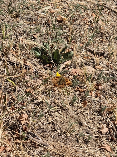
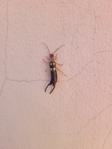
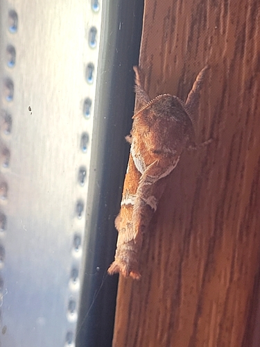
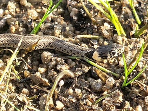
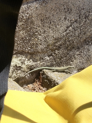
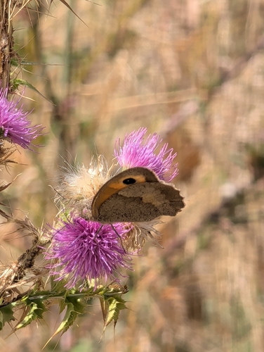
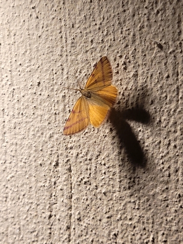
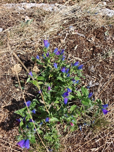

Research-grade observations from iNaturalist (within ~15 mi).
Events
Gallery
Sources
- • Wikipedia
- • Wikidata
- • USGS Earthquake Catalog (global feed)
- • GBIF (Global Biodiversity Information Facility)
- • iNaturalist
- • Open-Meteo / sunrise-sunset.org
- • Wikipedia Pageviews API