Browse / Bulgaria / Sofia Province / Pchelin
Pchelin
Sofia Provincevillage

Pchelin
Demographic figures from NSI Bulgaria. Overview below cites Wikipedia and may reference a different year.
City facts
Facts from Wikidata (CC0).
Overview
Pchelin is a village in the Sofia Province southwestern Bulgaria, located in the Kostenets Municipality. As of the 2022 the village had a population of 263. It is a spa resort.
Read more on WikipediaHistory & geography
Geography
Pchelin is located in the Kostenets–Dolna Banya Valley at the foothills of the Sredna Gora mountain range, very close to the highest mountain range in the Balkans, Rila. It lies some 70 km southeast of the national capital Sofia, about 8 km of the spa resorts of Momin Prohod and Kostenets and 30 km of the ski resort of Borovets. The village has a territory of 15.546 km2. There are favourable conditions for agriculture, the main crops include wheat, strawberries and blackcurrant.
Excerpted from the corresponding Wikipedia article (CC BY-SA).
Geography
Coordinates & boundaries from the US Census TIGER/Line shapefiles.
Climate
Air quality
Walkability
Amenities nearby
Wildlife & biodiversity
Earthquake history
Photos
Sights & places nearby
Notable people from here
Nearby places in Sofia Province
Geography & sun
Elevation, sunrise/sunset and daylight from Open-Meteo. Solar climatology from NASA POWER.
Nearby airports
Public attention
Pageview totals from the Wikimedia Pageviews API.
Books about this place
Recent natural events nearby
Ground air-quality sensors
Recently spotted species
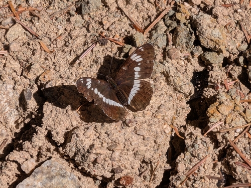

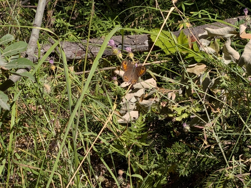
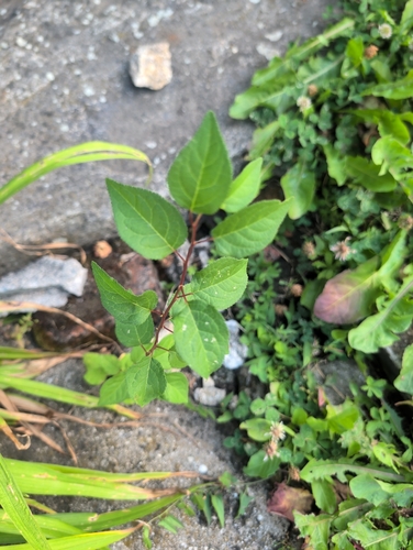

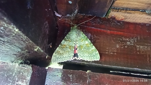
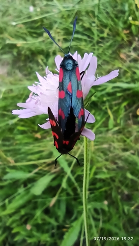


Research-grade observations from iNaturalist (within ~15 mi).
Events
Gallery
Sources
- • Wikipedia
- • Wikidata
- • iNaturalist
- • Open-Meteo / sunrise-sunset.org
- • Wikipedia Pageviews API