Browse / Bulgaria / Pazardzhik / Peshtera
Peshtera
Pazardzhiktown

Peshtera
Total population
20,753
Founded
1479
Demographic figures from NSI Bulgaria. Overview below cites Wikipedia and may reference a different year.
City facts
Facts from Wikidata (CC0).
Overview
Peshtera is a town in the Rhodope Mountains, southern Bulgaria. It is located in Pazardzhik Province near the towns of Batak and Bratsigovo. The town is the third largest in the province after Pazardzhik and Velingrad and is the forty-fifth largest in Bulgaria. It is the administrative center of the municipality Peshtera. According to the 2021 census, Peshtera has a population of 15,175 inhabitants. At about 5 km to the south, along the road to Batak, is one of the most visited caves in Bulgaria — Snezhanka. Near the town is located the Peshtera Hydroelectric Power Station. The town is well known for producing the alcohol beverage mastika under the brand Peshterska.
Read more on WikipediaHistory & geography
History
The first traces of human presence in the area date from the Neolithic. The Thracian tribe of the Bessi inhabited the area in Antiquity and the settlement in the Peshtera Valley emerged in the fourth century BC. The earliest piece of writing documenting the town's name dates from 1479, when Peshtera was part of the fief of a certain Mustafa in the Ottoman Empire. During the Bulgarian National Revival, many churches, bridges, fountains, schools and houses were built. The first secular school in Peshtera was opened in 1848, while the Nadezhda ('hope') community centre emerged in 1873. Many local residents took part in the armed struggle for the Liberation of Bulgaria. Peshtera was liberated during the Russo-Turkish War of 1877–78 on 6 January 1878. In 1876, the town had 800 households, of which 500 Bulgarian, 60 Aromanian and about 250 Turkish and Romani. The first official Bulgarian census in 1880 stated 758 households and 3,871 inhabitants, of which 2,618 Bulgarians, 856 Turks, 341 Greeks (mostly Aromanians counted as such), 53 Roma and a single Karakachan. Five years later, in 1885, Peshtera had a population of 4,704 and 876 households.
Geography
Peshtera (461 m asl) is located in the foothills of the Rhodope Mountains, at 18 km from Pazardzhik and 38 km from Plovdiv and 125 km from the national capital Sofia. The river Stara reka, a right tributary of the Maritsa, flows through the town. The local climate is temperate and sudden temperature fluctuations are uncommon. Peshtera average annual temperature is 12.6 °C. Rainfall is relatively high – from 670 to 680 L/m2 year.
Excerpted from the corresponding Wikipedia article (CC BY-SA).
Geography
Coordinates & boundaries from the US Census TIGER/Line shapefiles.
Climate
Air quality
Walkability
Amenities nearby
Wildlife & biodiversity
Most-observed species
- White StorkCiconia ciconia (Linnaeus, 1758) · Aves446
- corn buntingEmberiza calandra Linnaeus, 1758 · Aves420
- Common RavenCorvus corax Linnaeus, 1758 · Aves403
- Eurasian MagpiePica pica (Linnaeus, 1758) · Aves401
- Barn SwallowHirundo rustica Linnaeus, 1758 · Aves389
- Common BuzzardButeo buteo (Linnaeus, 1758) · Aves375
- Eurasian KestrelFalco tinnunculus Linnaeus, 1758 · Aves374
- European StarlingSturnus vulgaris Linnaeus, 1758 · Aves372
Citizen-science & research observations from the Global Biodiversity Information Facility (GBIF).
Earthquake history
Most recent
- M 3.6 — 2023-10-237 km NNE of Sadovo, Bulgaria
- M 3.5 — 2023-09-092 km SE of Simitli, Bulgaria
- M 4.6 — 2023-06-07Bulgaria
- M 4.5 — 2020-05-016 km SW of Rakovski, Bulgaria
- M 4.4 — 2019-12-3014 km S of Samokov, Bulgaria
- M 4.2 — 2018-08-0217 km NW of Gotse Delchev, Bulgaria
Events from the USGS Earthquake Catalog (global) (FDSN Event Web Service).
Photos
Sights & places nearby
Notable people from here


People born within ~10 km, from Wikidata (CC0). Click any name for their Wikipedia article.
Nearby places in Pazardzhik
Geography & sun
Elevation, sunrise/sunset and daylight from Open-Meteo. Solar climatology from NASA POWER.
Nearby airports
Public attention
Pageview totals from the Wikimedia Pageviews API.
Books about Peshtera
Search results from Open Library.
Recent natural events nearby
Ground air-quality sensors
Recently spotted species
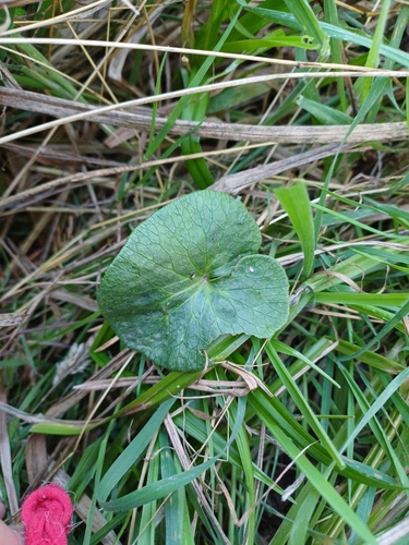
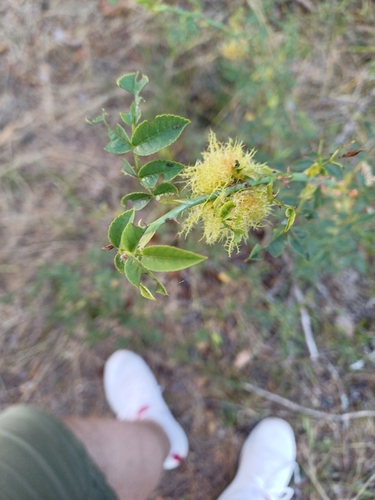

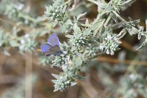
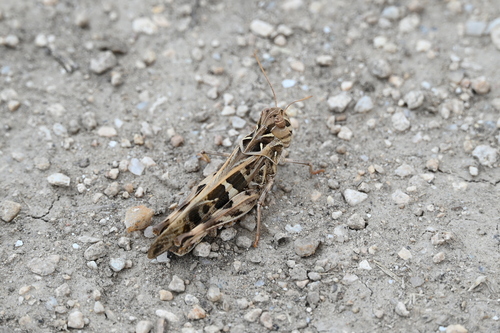
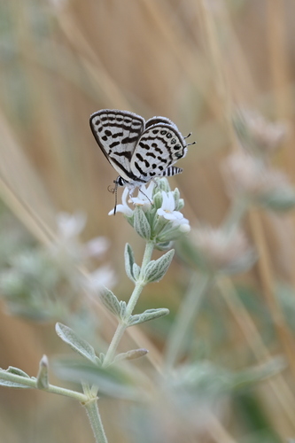
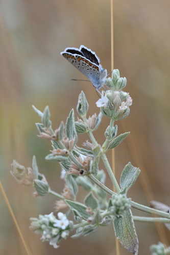
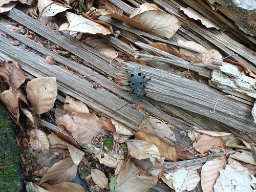
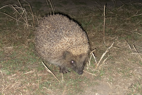
Research-grade observations from iNaturalist (within ~15 mi).
Events
Gallery
Sources
- • Wikipedia
- • Wikidata
- • USGS Earthquake Catalog (global feed)
- • GBIF (Global Biodiversity Information Facility)
- • iNaturalist
- • Open-Meteo / sunrise-sunset.org
- • Wikipedia Pageviews API
- • Open Library