Browse / Bulgaria / Sofia Province / Petrich
Petrich
Sofia Provincevillage

Petrich
Demographic figures from NSI Bulgaria. Overview below cites Wikipedia and may reference a different year.
City facts
Facts from Wikidata (CC0).
Overview
Petrich is a village in Zlatitsa Municipality, in Sofia Province, western Bulgaria. The name of the village is pronounced with a stress on the last syllable, in contrast with the name of the town of Petrich.
Read more on WikipediaHistory & geography
History
The village took active part in the April Uprising. On 23 April 1876 Georgi Benkovski arrived in Petrich with his Flying Cheta. The population helped by the villagers from Smolsko and Kamenitsa fought bravely against the Ottoman regular and irregular army. One hundred and seventy-two rebels were killed in the fighting and dozens were captured and exiled. The event is commemorated annually with fireworks at the monument of the uprising which resembles a bell and symbolizes the bells which were melted for bullets. According to the Treaty of Berlin of 1878 the border between the liberated Principality of Bulgaria and the autonomous Eastern Rumelia followed the summit of the Balkan Mountains and went southwards between Pirdop and Dushintsi eventually following the Topolnitsa river at Petrich.
Geography
Petrich is located in Ihtimanska Sredna Gora in the forested valley of the river Topolnitsa which flows through the village. The neighbourhood Brodyad is part of the village although it is located at several kilometers from the center.
Excerpted from the corresponding Wikipedia article (CC BY-SA).
Geography
Coordinates & boundaries from the US Census TIGER/Line shapefiles.
Climate
Air quality
Walkability
Amenities nearby
Wildlife & biodiversity
Earthquake history
Photos
Sights & places nearby
Notable people from here


People born within ~10 km, from Wikidata (CC0). Click any name for their Wikipedia article.
Nearby places in Sofia Province
Geography & sun
Elevation, sunrise/sunset and daylight from Open-Meteo. Solar climatology from NASA POWER.
Nearby airports
Public attention
Pageview totals from the Wikimedia Pageviews API.
Books about this place
Recent natural events nearby
Ground air-quality sensors
Recently spotted species
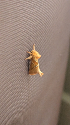
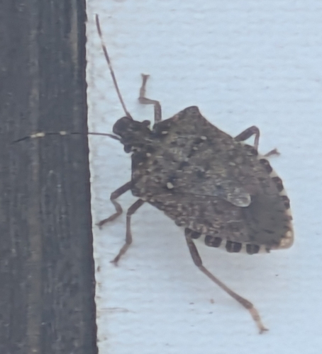
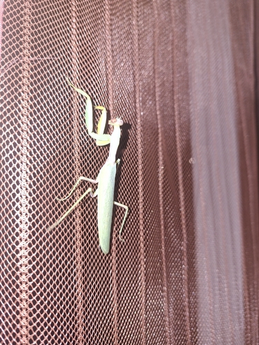
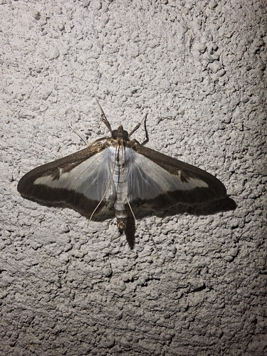
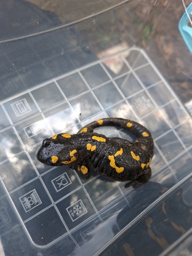
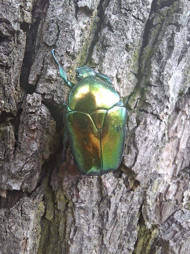
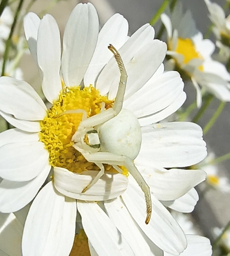
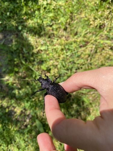
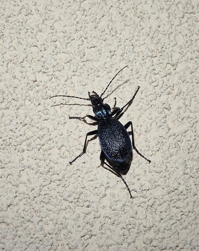
Research-grade observations from iNaturalist (within ~15 mi).
Events
Gallery
Sources
- • Wikipedia
- • Wikidata
- • iNaturalist
- • Open-Meteo / sunrise-sunset.org
- • Wikipedia Pageviews API