Browse / Bulgaria / Varna / Provadia
Provadia
Varnatown

Provadia
Total population
15,095
Demographic figures from NSI Bulgaria. Overview below cites Wikipedia and may reference a different year.
City facts
Facts from Wikidata (CC0).
Overview
Provadia is a town in northeastern Bulgaria, part of Varna Province, located in a deep karst gorge along the Provadiya River not far from the Bulgarian Black Sea Coast. It is the administrative centre of Provadia Municipality. As of December 2009, the town had a population of 12,901.
Read more on WikipediaHistory & geography
History
Provadia is the site of Solnitsata, Europe's oldest prehistoric town. Excavations on city walls that started in 2005 reveal a town that dates back to between 4,700 BC and 4,200 BC. It is believed to have been the site of salt trading. Historical names of the medieval fortress, the ruins of which have been preserved until today, include Provat (Byzantine Greek), Ovech (Овеч, Bulgarian), Provanto (Italian) and Pravadı (Turkish language). The Greek name and its adaptations stem from the word πρόβατο, provato, "sheep", and the medieval Bulgarian name corresponds directly (being derived from овца, ovtsa, with the same meaning). The fortress is open for visitors. During the Middle Ages the town was a key centre of the First Bulgarian Empire with an important monastery at the modern village of Ravna, the church of which was consecrated on 23 April 897, and a major scriptorium of the Preslav Literary School. The rebel leader and subsequently emperor of Bulgaria Ivailo defeated a 10,000-strong Byzantine army near the city in 1279. During the Second Bulgarian Empire it was the seat of a metropolitan in the 14th century. Ovech was captured by the Ottomans in 1388 after a long siege. In the 17th and 18th century Provadia was a commercial centre of the Ottoman Empire and was inhabited by many Jewish and Ragusan merchants. A 16th-17th-century Dubrovnik-style church still stands in the nearby village of Dobrina.
Excerpted from the corresponding Wikipedia article (CC BY-SA).
Geography
Coordinates & boundaries from the US Census TIGER/Line shapefiles.
Climate
Air quality
Walkability
Amenities nearby
Wildlife & biodiversity
Earthquake history
Photos
Sights & places nearby
Notable people from here


People born within ~10 km, from Wikidata (CC0). Click any name for their Wikipedia article.
Nearby places in Varna
Geography & sun
Elevation, sunrise/sunset and daylight from Open-Meteo. Solar climatology from NASA POWER.
Nearby airports
Public attention
Pageview totals from the Wikimedia Pageviews API.
Books about this place
Recent natural events nearby
Ground air-quality sensors
Recently spotted species
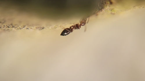
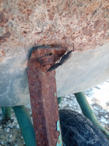
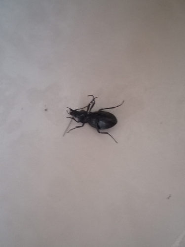
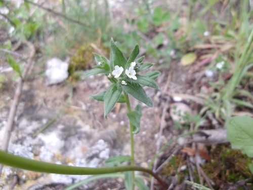
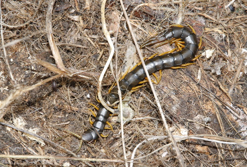
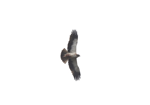
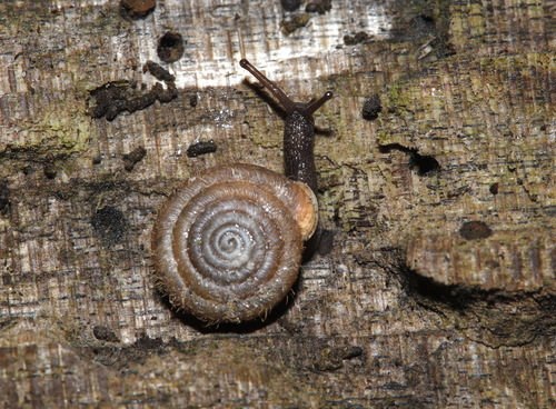
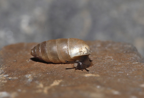
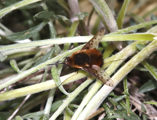
Research-grade observations from iNaturalist (within ~15 mi).
Events
Gallery
Sources
- • Wikipedia
- • Wikidata
- • iNaturalist
- • Open-Meteo / sunrise-sunset.org
- • Wikipedia Pageviews API