Browse / Bulgaria / Gabrovo / Sevlievo
Sevlievo
Gabrovotown

Sevlievo
Total population
22,676
Demographic figures from NSI Bulgaria. Overview below cites Wikipedia and may reference a different year.
City facts
Sister cities
Facts from Wikidata (CC0).
Overview
Sevlievo is a town in north-central Bulgaria, part of Gabrovo Province. Sevlievo is known as one of the wealthiest towns in Bulgaria owing to the well developed local economy, high employment rate and major foreign investments, such as the Ideal Standard Companies factory. It is the administrative centre of the homonymous Sevlievo Municipality.
Read more on WikipediaHistory & geography
History
The earliest traces of occupation in the region date back to the late Neolithic period (around the 8th century BC). Some Thracian tombs still survive. Hotalich Fortress is the last medieval town. It had been inhabited for more than 1,000 years and functioned as an important defensive center. Hotalich existed for centuries together with the settlement on the site of the contemporary town, known as Servi and Selvi. In the middle of the 19th century, the development of crafts led to the concentration of large sums of money in the crafts' societies. Commercial trips across the Ottoman Empire, Europe and Russia enriched general knowledge. In 1834 St Prophet Eliah Church was restored and in 1836 the medieval Batoshevo Monastery was rebuilt. In the mid-1850s, Kolyu Ficheto, a prominent master of the Bulgarian National Revival period, built the stone bridge over the Rositsa River. In 1844 the famous wealthy craftsman and merchant, Hadzhi Stoyan Nikolov, invested his own money in the building of a huge school. In 1870, under the direct guidance of Vasil Levski, known as the "Apostle of Freedom", a revolutionary committee was created. It prepared the population of Sevlievo for the April Uprising of 1876 against Ottoman rule. The Bulgarians from this region took an active part in the uprising. Ottoman occupation of the town ended 2 July 1877. As a major cultural institute, the local community center has existed for 127 years. The Mara Belcheva House of Culture became the new center of cultural events.
Geography
Sevlievo has a temperate climate with cold winters and hot summers.
Excerpted from the corresponding Wikipedia article (CC BY-SA).
Geography
Coordinates & boundaries from the US Census TIGER/Line shapefiles.
Climate
Air quality
Walkability
Amenities nearby
Wildlife & biodiversity
Most-observed species
- Red-backed ShrikeLanius collurio Linnaeus, 1758 · Aves99
- Great TitParus major Linnaeus, 1758 · Aves98
- Eurasian Golden OrioleOriolus oriolus (Linnaeus, 1758) · Aves92
- Eurasian BlackbirdTurdus merula Linnaeus, 1758 · Aves92
- White StorkCiconia ciconia (Linnaeus, 1758) · Aves88
- corn buntingEmberiza calandra Linnaeus, 1758 · Aves87
- White-pointMythimna albipuncta Gaede, 1916 · Insecta81
- Common ChaffinchFringilla coelebs Linnaeus, 1758 · Aves80
Citizen-science & research observations from the Global Biodiversity Information Facility (GBIF).
Earthquake history
Most recent
- M 3.6 — 2023-10-237 km NNE of Sadovo, Bulgaria
- M 4.5 — 2020-05-016 km SW of Rakovski, Bulgaria
- M 4.5 — 2017-11-262 km S of Anton, Bulgaria
- M 4.2 — 2017-01-038 km ENE of Lyaskovets, Bulgaria
- M 4.3 — 2016-04-1810 km SSW of Nova Zagora, Bulgaria
- M 4.2 — 2015-02-0512 km ENE of Tvarditsa, Bulgaria
Events from the USGS Earthquake Catalog (global) (FDSN Event Web Service).
Photos
Sights & places nearby
Notable people from here


People born within ~10 km, from Wikidata (CC0). Click any name for their Wikipedia article.
Nearby places in Gabrovo
Geography & sun
Elevation, sunrise/sunset and daylight from Open-Meteo. Solar climatology from NASA POWER.
Nearby airports
Public attention
Pageview totals from the Wikimedia Pageviews API.
Books about this place
Recent natural events nearby
Ground air-quality sensors
Recently spotted species
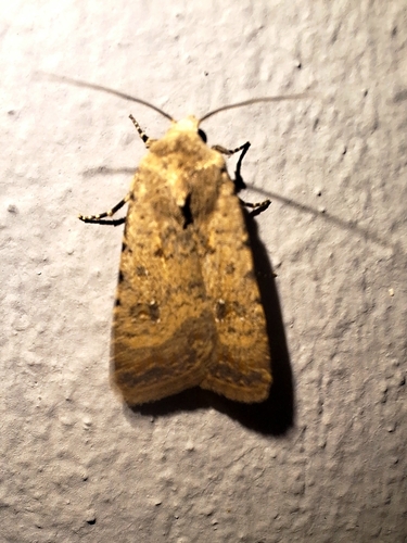
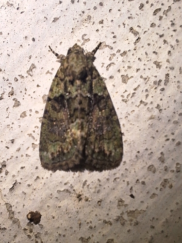
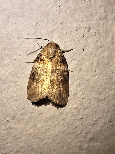
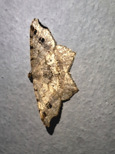
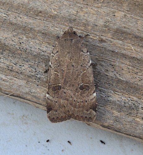
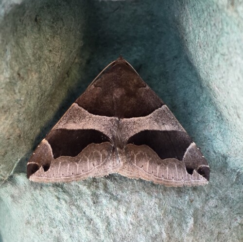
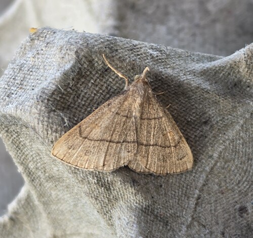
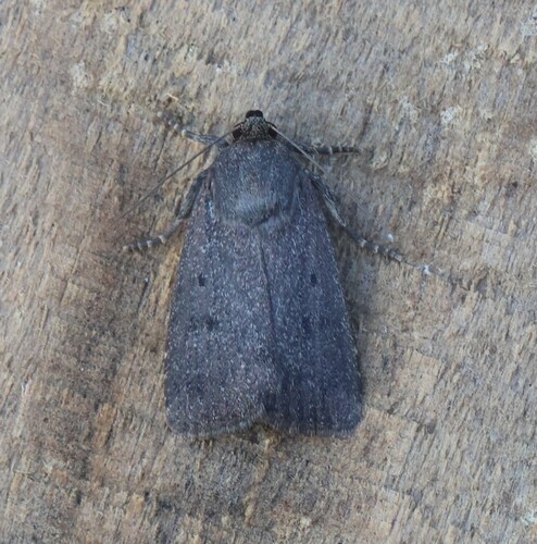
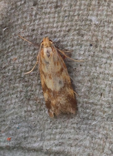
Research-grade observations from iNaturalist (within ~15 mi).
Events
Gallery
Sources
- • Wikipedia
- • Wikidata
- • USGS Earthquake Catalog (global feed)
- • GBIF (Global Biodiversity Information Facility)
- • iNaturalist
- • Open-Meteo / sunrise-sunset.org
- • Wikipedia Pageviews API