Browse / Bulgaria / Sofia (city) / Vladaya
Vladaya
Sofia (city)village

Vladaya
Total population
3,346
Demographic figures from NSI Bulgaria. Overview below cites Wikipedia and may reference a different year.
City facts
Facts from Wikidata (CC0).
Overview
Vladaya is a village on the Vitosha and Lyulin mountains in western Bulgaria at an altitude of about 1000 m. In the 2011 census in Vladaya were counted 4043 residents, which makes it the tenth largest village in Bulgaria. Administratively, it is part of the Vitosha District of Stolichna Municipality in the southwestern part of the Sofia City Province.
Read more on WikipediaHistory & geography
History
The history of the village reflects the fate of the nearby Sofia city. It is believed that there has been a settlement on the site since ancient eras. The first known inhabitants of the area were Thracian tribes. The settlement was part of numerous kingdoms and empires, including the Thracian and Macedon kingdoms, Roman, Byzantine, Bulgarian and Ottoman Empires. Over the centuries, different tribes and peoples invaded the area - Ancient Macedonians, Celts, Romans, Goths, Bulgarians and Turks. There is a legend and two alternative theories about the name of the village. According to the first legend, the village's name dates back the Second Bulgarian Empire (1185 - 1396) and was named after one of the three daughters of the tsar called Vladaya. Her sisters' names - Boyana and Yana gave name to other settlements in the area. The alternative theory is that the name is derived from the Bulgarian word "владей" [vladey] which literary means own in imperative, the other alternative theory is that it is simply derived from villa. Etymological studies derive it from the genitive and accusative form of the Bulgarian personal name Vladay. The name of Vladaya was first attested in 1576 as Viladay or Vladay.
Excerpted from the corresponding Wikipedia article (CC BY-SA).
Geography
Coordinates & boundaries from the US Census TIGER/Line shapefiles.
Climate
Air quality
Walkability
Amenities nearby
Wildlife & biodiversity
Earthquake history
Photos
Sights & places nearby
Notable people from here


People born within ~10 km, from Wikidata (CC0). Click any name for their Wikipedia article.
Nearby places in Sofia (city)
- Marchaevo2.1 mi away · pop. 1,124
- Malo Buchino4.2 mi away · pop. 668
- Ivaniane5.3 mi away · pop. 914
- Bankya6.1 mi away · pop. 11,667
- Sofia8 mi away · pop. 1,286,383
- Klisura8.3 mi away · pop. 122
- Bistritsa8.9 mi away · pop. 5,181
- Zheleznitsa10.9 mi away · pop. 1,663
- Pancharevo11 mi away · pop. 3,209
- German11.2 mi away · pop. 2,651
- Pancharevo11.3 mi away · pop. 3,331
- Mramor11.5 mi away · pop. 1,914
Geography & sun
Elevation, sunrise/sunset and daylight from Open-Meteo. Solar climatology from NASA POWER.
Nearby airports
Public attention
Pageview totals from the Wikimedia Pageviews API.
Books about this place
Recent natural events nearby
Ground air-quality sensors
Recently spotted species
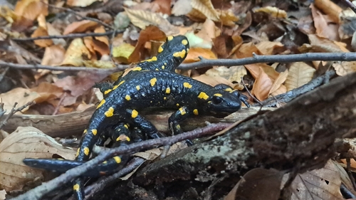
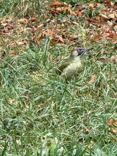
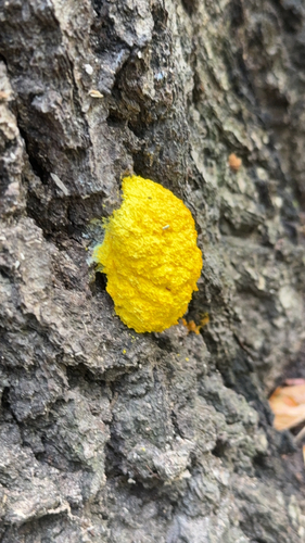
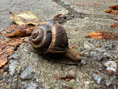
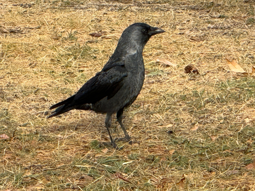
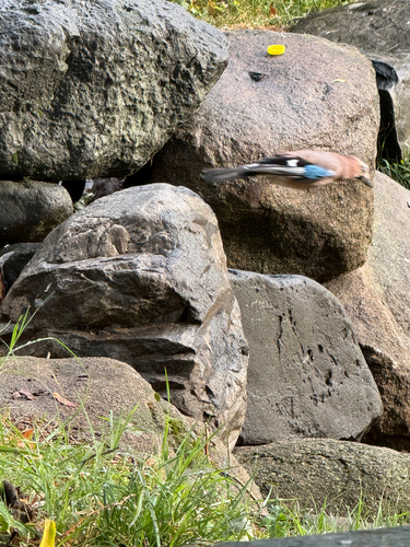
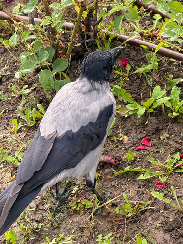
Research-grade observations from iNaturalist (within ~15 mi).
Events
Gallery
Sources
- • Wikipedia
- • Wikidata
- • iNaturalist
- • Open-Meteo / sunrise-sunset.org
- • Wikipedia Pageviews API