Browse / Burundi / Bujumbura Mairie / Bujumbura
Bujumbura
Bujumbura Mairiecity

Bujumbura
Total population
658,859
Founded
1871
Demographic figures from ISTEEBU (Burundi). Overview below cites Wikipedia and may reference a different year.
City facts
Sister cities
Facts from Wikidata (CC0).
Overview
Bujumbura, formerly Usumbura, is the economic capital, former political capital, largest city and main port of Burundi. It ships most of the country's chief export, coffee, as well as cotton and tin ore. Bujumbura was formerly the country's political capital. In late December 2018, Burundian president Pierre Nkurunziza announced that he would follow through on a 2007 promise to return Gitega its former political capital status, with Bujumbura remaining as economical capital and center of commerce. A vote in the Parliament of Burundi made the change official on 16 January 2019, and as of late 2025, the transition is still ongoing, having been estimated to end in 2022.
Read more on WikipediaHistory & geography
History
Bujumbura grew from a small village after it became a military post in German East Africa in 1889. After World War I it was made the administrative center and de facto capital of the Belgian League of Nations mandate of Ruanda-Urundi. The name was changed from Usumbura to Bujumbura upon Burundi's independence in 1962. Since independence, Bujumbura was the scene of frequent fighting between the country's two main ethnic groups, with Hutu militias opposing the Tutsi-dominated Burundi Army during the Burundian Civil War in the early 90s. During the 1990s civil war, battles between Burundi's two main ethnic groups destroyed hospitals, administrative buildings, the University of Burundi, and other schools in the city, severely crippling the local economy. The Belgian colonial period left a significant architectural mark on the city centre, with buildings constructed in styles popular in Europe during the first half of the 20th century, including elements of Modernism and Art Deco, many of which remain visible in the historical centre today.
Geography
Bujumbura is on the north-eastern shore of Lake Tanganyika, the second deepest lake in the world after Lake Baikal. The city also lies at the mouth of the Ruzizi River and the smaller Mutimbuzi River, Ntahangwa, Muha and Kanyosha Rivers. Bujumbura has a tropical savanna climate (Köppen: Aw) bordering on hot semi-arid (BSh). There are distinct wet and dry seasons; the wet season being from October to April. Being close to the equator, average temperatures in the city vary little over the year, though they are affected by its altitude. The high temperature is around and the low around .
Excerpted from the corresponding Wikipedia article (CC BY-SA).
Geography
Coordinates & boundaries from the US Census TIGER/Line shapefiles.
Climate
Air quality
Walkability
Amenities nearby
Wildlife & biodiversity
Earthquake history
Photos
Sights & places nearby
Notable people from here


People born within ~10 km, from Wikidata (CC0). Click any name for their Wikipedia article.
Nearby places in Bujumbura Mairie
Geography & sun
Elevation, sunrise/sunset and daylight from Open-Meteo. Solar climatology from NASA POWER.
Nearby airports
Public attention
Pageview totals from the Wikimedia Pageviews API.
Books about Bujumbura
Search results from Open Library.
Recent natural events nearby
Ground air-quality sensors
Recently spotted species
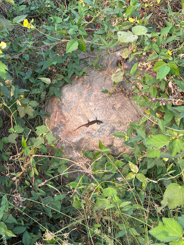
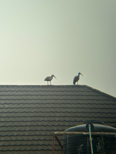
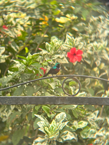
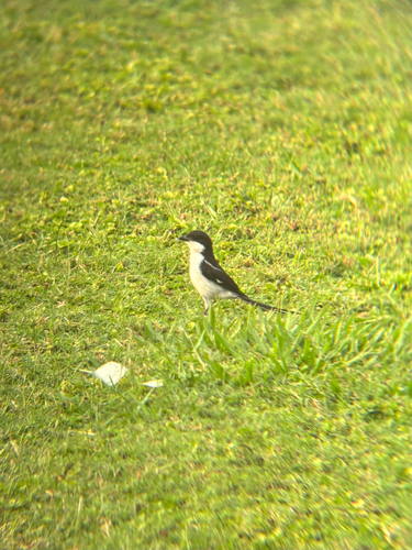
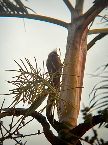
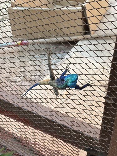
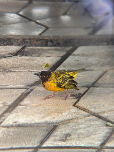
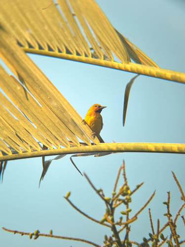
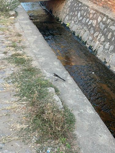
Research-grade observations from iNaturalist (within ~15 mi).
Events
Gallery
Sources
- • Wikipedia
- • Wikidata
- • iNaturalist
- • Open-Meteo / sunrise-sunset.org
- • Wikipedia Pageviews API
- • Open Library