Browse / Benin / Atlantique / Sékou
Sékou
Atlantiquetown
No image yet
Elevation86 m
WeatherAvg high 88.3°F
Coordinates6.64°, 2.23°
Demographic figures from INSAE Benin. Overview below cites Wikipedia and may reference a different year.
Loading additional data from public sources…0 / 11
CensusWikipediaWeatherPlacesPeopleEnvironmentHealth & SchoolsRelatedGeography & CultureLive MonitoringEvents & Gallery
0% completeCity facts
Overview
Sekou, also spelled Sékou or Seku, is a given name from the Fula language. It is equivalent to the Arabic Sheikh. People with this name include:
Read more on WikipediaHistory & geography
Geography
Latitude
6.6362
Longitude
2.2271
Water area
—
Coordinates & boundaries from the US Census TIGER/Line shapefiles.
Climate
Avg high
88.3°F
Avg low
74.6°F
Annual precipitation
50.2 in
10-year averages from ERA5 reanalysis (Open-Meteo).
Air quality
Walkability
Amenities nearby
Wildlife & biodiversity
Earthquake history
Photos
Sights & places nearby
Notable people from here
L
Lionel Agbo
Beninese jurist and lawyer
M
Martin Chobli
Beninese doctor
L
Léonard Todjihounde
Beninese mathematician (1967-)
A
Antoine Djédou
Beninois politician

Don Metok
Beninese artist
A
Alain Godonou
Beninian curator
C
Claude Balogoun
Beninese director and producer
F
François Aplogan
Beninese civil servant and politician
People born within ~10 km, from Wikidata (CC0). Click any name for their Wikipedia article.
Nearby places in Atlantique
Geography & sun
Elevation
282 ft (86 m)
Avg solar (kWh/m²/day)
4.65
Annual solar (kWh/m²)
1,697
Elevation, sunrise/sunset and daylight from Open-Meteo. Solar climatology from NASA POWER.
Nearby airports
Public attention
Wikipedia views (last 30 days)
172
Avg daily Wikipedia views
6
Attention level
Obscure
Pageview totals from the Wikimedia Pageviews API.
Books about this place
Recent natural events nearby
Ground air-quality sensors
Recently spotted species
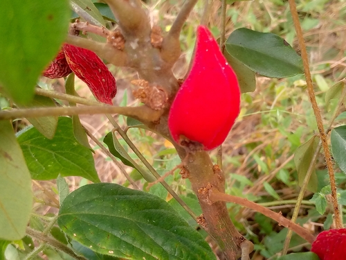
Cnestis ferruginea
Cnestis ferruginea
Seen 2026-08-08
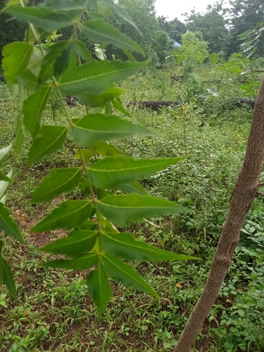
Neem
Azadirachta indica
Seen 2026-08-06
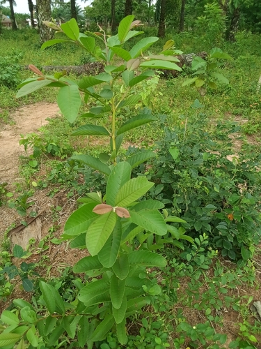
Common guava
Psidium guajava
Seen 2026-08-06
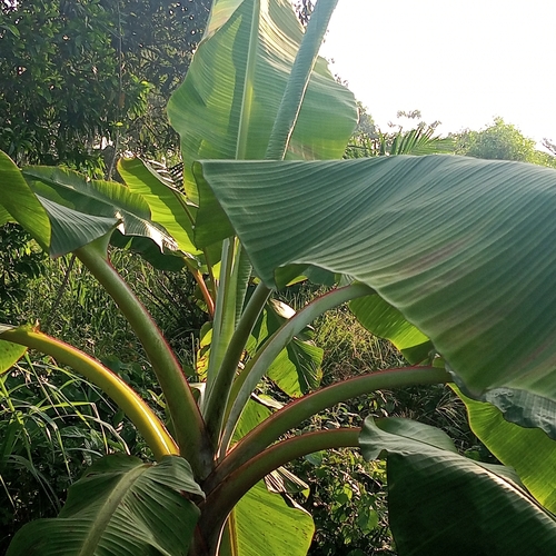
Cavendish banana
Musa acuminata
Seen 2026-08-05
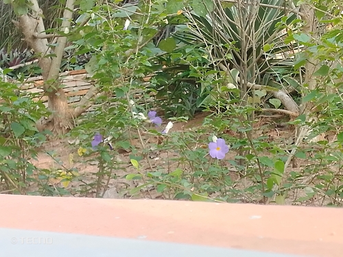
Bush Thunbergia
Thunbergia erecta
Seen 2026-08-05
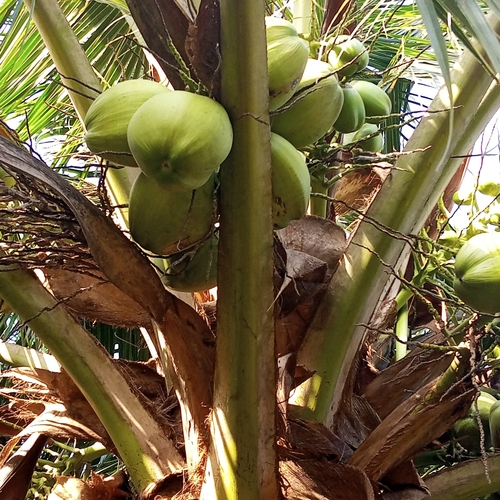
coconut palm
Cocos nucifera
Seen 2026-08-05
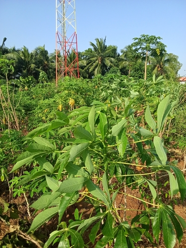
Cassava
Manihot esculenta
Seen 2026-08-05
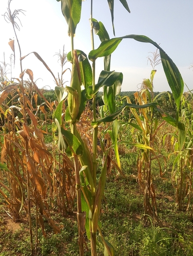
Maize
Zea mays
Seen 2026-08-05
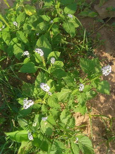
Indian Heliotrope
Heliotropium indicum
Seen 2026-08-05
Research-grade observations from iNaturalist (within ~15 mi).
Events
Gallery
Sources
- • Wikipedia
- • Open-Meteo (ERA5 reanalysis)
- • Wikidata
- • iNaturalist
- • Open-Elevation
- • Open-Meteo / sunrise-sunset.org
- • Wikipedia Pageviews API
- • Wikidata SPARQL (CC0) — population, area, elevation, inception, head of government, Commons image