Browse / Benin / Donga / Sèmèrè II
Sèmèrè II
Dongatown
No image yet
Coordinates9.55°, 1.37°
Demographic figures from INSAE Benin. Overview below cites Wikipedia and may reference a different year.
Loading additional data from public sources…0 / 11
CensusWikipediaWeatherPlacesPeopleEnvironmentHealth & SchoolsRelatedGeography & CultureLive MonitoringEvents & Gallery
0% completeCity facts
Overview
Sèmèrè II is an arrondissement in the Donga department of Benin. It is an administrative division under the jurisdiction of the commune of Ouaké. According to the population census conducted by the Institut National de la Statistique Benin on February 15, 2002, the arrondissement had a total population of 11,116.
Read more on WikipediaHistory & geography
Geography
Latitude
9.5536
Longitude
1.3721
Water area
—
Coordinates & boundaries from the US Census TIGER/Line shapefiles.
Climate
Air quality
Walkability
Amenities nearby
Wildlife & biodiversity
Earthquake history
Photos
Sights & places nearby
Notable people from here
Nearby places in Donga
Geography & sun
Nearby airports
Public attention
Books about this place
Recent natural events nearby
Ground air-quality sensors
Recently spotted species
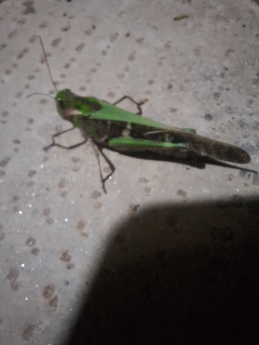
Gastrimargus africanus
Gastrimargus africanus
Seen 2026-06-19
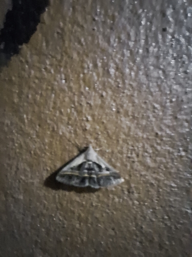
Trimen's Knob
Acantholipes trimeni
Seen 2026-06-19
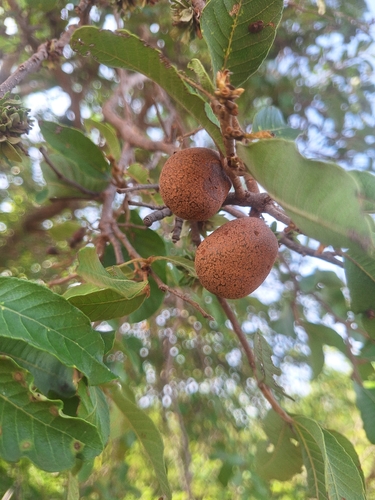
Mobola Plum
Parinari curatellifolia
Seen 2026-06-18
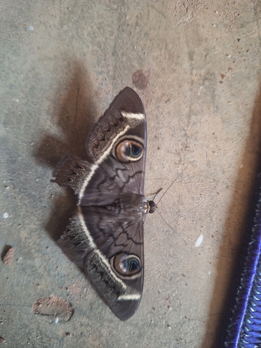
Creamstriped Owl
Cyligramma latona
Seen 2026-06-18
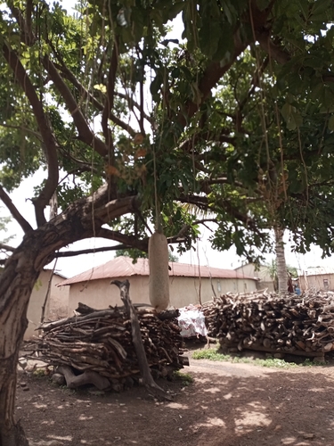
Sausage tree
Kigelia africana
Seen 2023-05-24
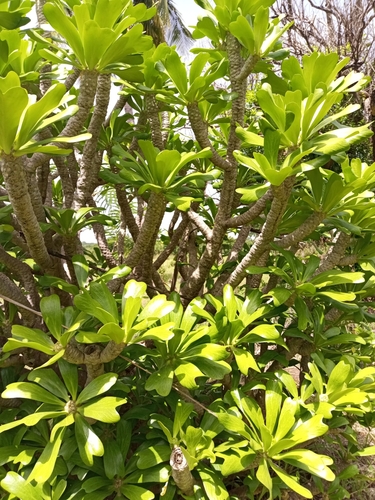
Euphorbia poissonii
Euphorbia poissonii
Seen 2023-05-17
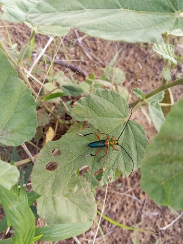
Philematium festivum
Philematium festivum
Seen 2023-05-13
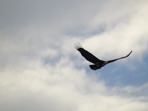
Hooded Vulture
Necrosyrtes monachus
Seen 2022-09-30
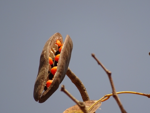
African mahogany
Afzelia africana
Seen 2022-01-09
Research-grade observations from iNaturalist (within ~15 mi).
Events
Gallery
Sources
- • Wikipedia
- • iNaturalist
- • Wikidata SPARQL (CC0) — population, area, elevation, inception, head of government, Commons image