Browse / Bolivia / Bolivia / El Alto
El Alto
Boliviacity

El Alto
Total population
846,880
Air quality index
Demographic figures from INE Bolivia. Overview below cites Wikipedia and may reference a different year.
City facts
Facts from Wikidata (CC0).
Overview
El Alto is the second-largest city in Bolivia, located adjacent to La Paz in Pedro Domingo Murillo Province on the Altiplano highlands. El Alto is today one of Bolivia's fastest-growing urban centers, with an estimated population of 943,558 in 2020. It is also the highest major city in the world, with an average elevation of 4,000 m (13,123 ft).
Read more on WikipediaHistory & geography
History
The dry and inclement plain above La Paz was uninhabited until 1903 when the newly built railways from Lake Titicaca and Arica reached the rim of the canyon, where the La Paz terminus, railyards and depots were built along with a settlement of railway workers (a spur line down into the canyon opened in 1905). In 1925, the airfield was built as a base for the new air force, which attracted additional settlement. In 1939, El Alto's first elementary school opened. El Alto started to grow tremendously in the 1950s when the settlement was connected to La Paz's water supply (before this, all water had to be transported from La Paz in tanker vehicles) and building land in the canyon became more and more scarce and expensive. In an administrative reform in March 1985, the district of El Alto and its surroundings were politically separated from the City of La Paz (this date is officially referred to and celebrated as the city's "founding day"). In 1987, El Alto was formally incorporated as a city. In 1994, the city became the seat of the Roman Catholic Diocese of El Alto. Since then, the city has expanded rapidly and can be described as a more urbanized area, with the influx of population occurring in informal environments. Many residents lack access to basic infrastructure, including potable water, connected sewage systems, good roads, and transportation, as the population is expected to surpass 1 million people by 2025. Furthermore, with new urban growth, the city's infrastructure requires improvement. El Alto is on the path to urban expansion, with new sustainable urban development projects from organizations such as the IDB and the World Bank supporting the development of infrastructure. On 27 February 2026, a Bolivian Air Force C-130 cargo plane crashed into a road…
Geography
The city contains La Paz’s El Alto International Airport. El Alto is one of the highest major cities in the world, up to 4,300 meters (13,615 feet) above mean sea level. It has a cold climate, with the highest average monthly maximum temperature being in November. It is one of the fastest-growing cities in Bolivia, due to immigration from Bolivia’s rural areas to the La Paz region which started with the rural reform of 1952 and increased in the last 10 years. Some migrants say the difficulty of growing crops in the countryside drove them to move to the city. El Alto features a cold subtropical highland climate (Köppen: Cwc, Trewartha: Eolk), typical of the tropical Andes at high altitude. Temperatures are typically cool during the day and crisp at night year-round, due to the thin atmosphere and strong radiative heat loss at elevation. Average daytime temperatures generally range between 13–17 °C, while nighttime temperatures frequently approach or fall below 0 °C, particularly during the winter months. Snowfall is possible throughout the year. The water supply in El Alto has been impacted by drought caused by shrinking glaciers. In 2016 the three main dams supplying water to the city were almost dry due to lack of glacial melt water.
Excerpted from the corresponding Wikipedia article (CC BY-SA).
Geography
Coordinates & boundaries from the US Census TIGER/Line shapefiles.
Climate
Air quality
Current readings from Open-Meteo Air Quality API (Copernicus CAMS European reanalysis).
Walkability
Amenities nearby
Wildlife & biodiversity
Most-observed species
- Rufous-collared SparrowZonotrichia capensis (P.L.S.Müller, 1776) · Aves1,780
- Eared DoveZenaida auriculata (Des Murs, 1847) · Aves1,663
- Chiguanco ThrushTurdus chiguanco Orbigny & Lafresnaye, 1837 · Aves1,527
- Rock PigeonColumba livia J.F.Gmelin, 1789 · Aves1,198
- Spot-winged PigeonPatagioenas maculosa (Temminck, 1813) · Aves1,181
- Corryocactus melanotrichus (K.Schum.) Britton & RoseCorryocactus melanotrichus (K.Schum.) Britton & Rose · Magnoliopsida1,093
- Peruvian Sierra-FinchPhrygilus punensis Ridgway, 1887 · Aves1,011
- Indian-FigOpuntia ficus-indica (L.) Mill. · Magnoliopsida971
Citizen-science & research observations from the Global Biodiversity Information Facility (GBIF).
Earthquake history
Most recent
- M 4.5 — 2025-01-1813 km SSE of Yunguyo, Peru
- M 5 — 2024-04-1060 km W of Patacamaya, Bolivia
- M 4.3 — 2014-11-1835 km NNW of Coroico, Bolivia
- M 4.9 — 2014-10-0126 km S of Chulumani, Bolivia
- M 4.5 — 2008-11-1523 km SSW of Tiahuanaco, Bolivia
- M 4 — 2008-09-0529 km N of Viloco, Bolivia
Events from the USGS Earthquake Catalog (global) (FDSN Event Web Service).
Photos
Sights & places nearby
Notable people from here


People born within ~10 km, from Wikidata (CC0). Click any name for their Wikipedia article.
Nearby places in Bolivia
- Ha Mochekoane5991.1 mi away
- Ha Mpo5991.7 mi away
- Ha 'Mantšebo5992.3 mi away
- Ha Mofoka5995.7 mi away
- Lehaheng5998.3 mi away
- Ha Mapeshoane5998.6 mi away
- Riqab7910.5 mi away · pop. 567
- `Uqaqah7924.8 mi away · pop. 3,442
- Annah7931.3 mi away · pop. 1,188
- Ahayin7933 mi away · pop. 1,496
- Hazarah7943.5 mi away
- Darin7943.5 mi away · pop. 542
Geography & sun
Elevation, sunrise/sunset and daylight from Open-Meteo. Solar climatology from NASA POWER.
Nearby airports
Public attention
Pageview totals from the Wikimedia Pageviews API.
Books about El Alto
Search results from Open Library.
Recent natural events nearby
Ground air-quality sensors
Recently spotted species
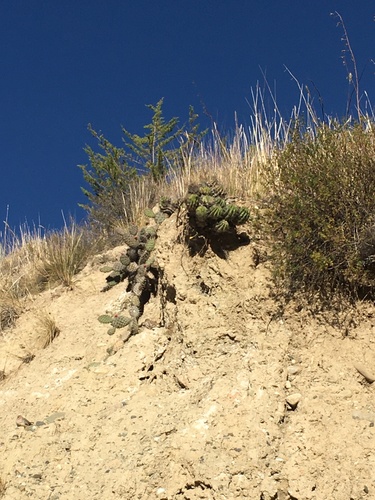
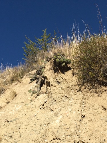
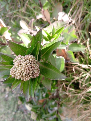
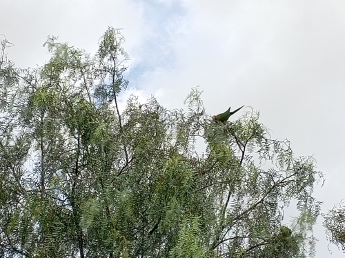
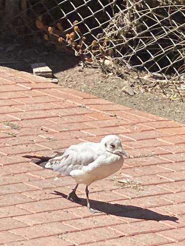
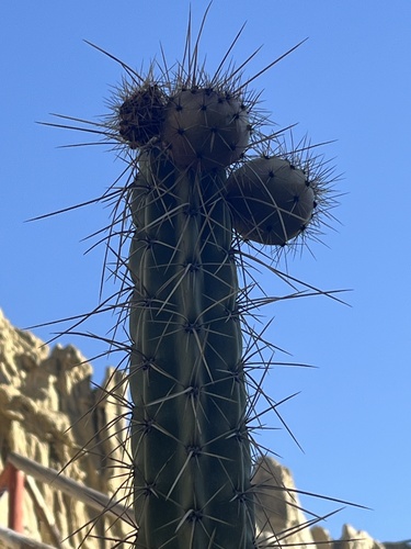
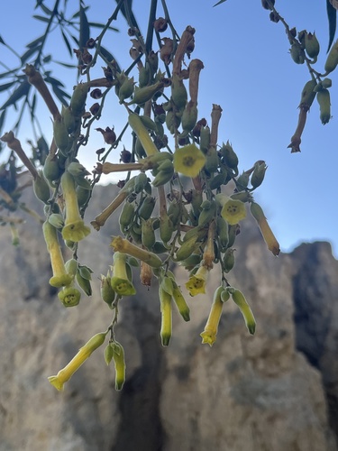
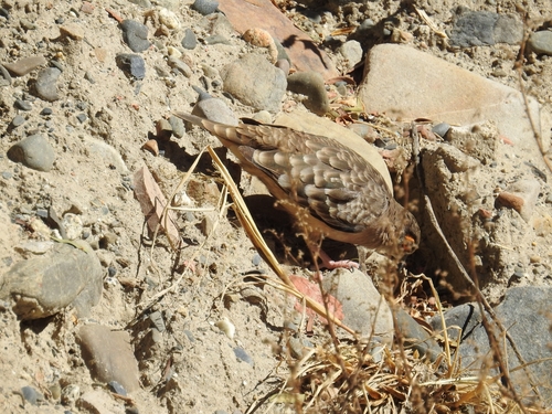
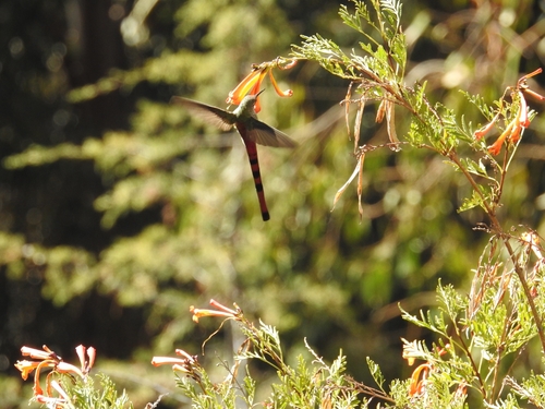
Research-grade observations from iNaturalist (within ~15 mi).
Events
Notable, recurring, and historical events associated with El Alto, sourced from Wikidata.
- 2019 Bolivian protestsOct 20, 2019demonstration
protests against electoral fraud allegations in the 2019 Bolivian elections
- Q16559872Jul 22, 2007demonstration
Source: Wikidata (CC0).
Gallery
Geotagged photos within ~6 miles of El Alto, from Wikimedia Commons contributors.
 0 mi
0 mi.jpg) 0 mi
0 mi.jpg) 0 mi
0 mi 0.1 mi
.jpg) 0.1 mi
0.1 mi.jpg) 0.1 mi
0.1 mi.jpg) 0.1 mi
0.1 mi.jpg) 0.1 mi
0.1 mi 0.1 mi
 0.1 mi
 0.1 mi
 0.1 mi
 0.1 mi
 0.1 mi
 0.1 mi
.jpg) 0.1 mi
0.1 mi_(56893).jpg) 0.1 mi
0.1 mi 0.1 mi
 0.1 mi
 0.1 mi
.jpg) 0.2 mi
0.2 mi.jpg) 0.2 mi
0.2 mi.jpg) 0.2 mi
0.2 mi.jpg) 0.2 mi
0.2 miPhotos via Wikimedia Commons — see each image page for license & attribution.
Sources
- • Wikipedia
- • Wikimedia Commons
- • Wikidata
- • Open-Meteo Air Quality (CAMS)
- • USGS Earthquake Catalog (global feed)
- • GBIF (Global Biodiversity Information Facility)
- • iNaturalist
- • Open-Elevation
- • Open-Meteo / sunrise-sunset.org
- • Wikipedia Pageviews API
- • Open Library