Browse / Bolivia / Bolivia / La Paz
La Paz
Boliviacity
Total population
154
Founded
1548
Air quality index
Demographic figures from INE Bolivia. Overview below cites Wikipedia and may reference a different year.
City facts
Sister cities
Facts from Wikidata (CC0).
Overview
La Paz is a small city located in Bolivia. Located at -10.969°, -66.816°, La Paz occupies a tropical portion of the southern hemisphere. Population sits at roughly 154 according to the open data we track. Based on its tropical position, residents likely encounter warm temperatures throughout the year with pronounced wet and dry seasons. The location receives about 1,743 kWh/m² of solar irradiance per year and sunshine for roughly 68% of daylight hours. Additional figures on demographics, climate, geography and points of interest appear in the sections that follow, all drawn from open public datasets.
Summary composed automatically from structured open data on this page. See our Terms for details.
History & geography
History
This area had been the site of an Inca city on a major trading route. Although the Spanish conquistadors entered the area in 1535, they did not find La Paz until 1548. Originally it was to be at the site of the Native American settlement, Laja. The town site was moved a few days later to its present location in the valley of Chuquiago, which is more clement. Control over the former Inca lands had been entrusted to Pedro de la Gasca by the Spanish king (and Holy Roman Emperor) Emperor Charles V. Gasca commanded Alonso de Mendoza to found a new city commemorating the end of the civil wars in Peru; the city of La Paz was founded on 20 October 1548, by Alonzo de Mendoza, with Juan de Vargas appointed as its first mayor. In 1549, Juan Gutierrez Paniagua was commanded to design an urban plan that would designate sites for public areas, plazas, official buildings, and a cathedral. These were meant to express the ideals and relationships of Spanish colonial society. La Plaza de los Españoles, which is known today as the Plaza Murillo, was chosen as the location for government buildings as well as the Metropolitan Cathedral. Spain controlled La Paz with a firm grip and the Spanish king had the last word in all matters political, but consultation was extended, taking months or longer by sea. Indigenous and other unrest was repeated around the turn of the nineteenth century. In 1781, for a total of six months, a group of Aymara people laid siege to La Paz. Under the leadership of Tupac Katari, they destroyed churches and government property. Thirty years later Indians conducted a two-month siege against La Paz. This incident was the setting for the origin of the legend of the Ekeko. In 1809, the struggle for independence from the Spanish rule brought uprisings against the…
Geography
La Paz is in the valleys of the Andes, close to the Eastern split of the Altiplano region. The metropolitan area is near to the Cordillera Real range, which includes such notable mountains as Illimani (guardian of La Paz), Mururata, Huayna Potosi, Chacaltaya, Kunturiri, Llamp'u, Chachakumani, Chearoco, and Ancohuma. La Paz is built in a canyon created by the Choqueyapu River (now mostly built over), which runs northwest to southeast. The city's main thoroughfare, which roughly follows the river, changes names over its length, but the central tree-lined section running through the downtown core is called the Prado. The geography of La Paz (in particular the altitude) is marked by social differences. The more affluent residents live in the lower, central areas of the city southwest of the Prado. Many middle-class residents live in high-rise condos near the center. Lower-income residents live in makeshift brick houses in the surrounding hills. The satellite city of El Alto, where the airport is, is spread over a broad area to the west of the canyon, on the Altiplano. An earthquake in July 1994 rated at 8.2 struck north of La Paz. It could be felt near La Paz and caused damage throughout the villages of the area. In February 2002 the city was subjected to a hail and rainstorm that resulted in flooding causing serious damage and over 50 deaths. At more than above sea level, higher parts of La Paz have a cold subtropical highland climate (Köppen: Cwc), bordering on a tundra climate (Köppen: ET). Heavy precipitation typically occurs throughout summer, and often causes destructive mudslides. At an altitude of 3,250 meters, in the southern part of the city, the wettest month is January with a monthly average of , and the driest is July with . The whole city has rainy…
Excerpted from the corresponding Wikipedia article (CC BY-SA).
Geography
Coordinates & boundaries from the US Census TIGER/Line shapefiles.
Climate
Air quality
Current readings from Open-Meteo Air Quality API (Copernicus CAMS European reanalysis).
Walkability
Amenities nearby
Wildlife & biodiversity
Most-observed species
- Vermilion FlycatcherPyrocephalus rubinus (Boddaert, 1783) · Aves4
- Psychophasma erosa Herrich-Schäffer, 1858Psychophasma erosa Herrich-Schäffer, 1858 · Insecta3
- Paraethria flavosignata Rothschild, 1911Paraethria flavosignata Rothschild, 1911 · Insecta3
- Crimson-crested WoodpeckerCampephilus melanoleucos (J.F.Gmelin, 1788) · Aves3
- Royal FlycatcherOnychorhynchus coronatus (Statius Muller, 1776) · Aves3
- Alloschemone occidentalis (Poepp.) Engl. & K.KrauseAlloschemone occidentalis (Poepp.) Engl. & K.Krause · Liliopsida3
- Common Scale-backed AntbirdWillisornis poecilinotus (Cabanis, 1847) · Aves3
- Echydna punctataEchydna punctata · Insecta2
Citizen-science & research observations from the Global Biodiversity Information Facility (GBIF).
Earthquake history
Events from the USGS Earthquake Catalog (global) (FDSN Event Web Service).
Photos
Sights & places nearby
Notable people from here
Nearby places in Bolivia
- Ha Mochekoane6102.5 mi away
- Ha Mpo6103.1 mi away
- Ha 'Mantšebo6103.8 mi away
- Ha Mofoka6107.5 mi away
- Lehaheng6110.2 mi away
- Ha Mapeshoane6110.4 mi away
- Riqab7752 mi away · pop. 567
- `Uqaqah7775.8 mi away · pop. 3,442
- Annah7779.7 mi away · pop. 1,188
- Ahayin7781.2 mi away · pop. 1,496
- Darin7792.3 mi away · pop. 542
- Hazarah7792.5 mi away
Geography & sun
Elevation, sunrise/sunset and daylight from Open-Meteo. Solar climatology from NASA POWER.
Nearby airports
Public attention
Pageview totals from the Wikimedia Pageviews API.
Books about La Paz
Search results from Open Library.
Recent natural events nearby
Ground air-quality sensors
Recently spotted species
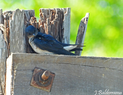
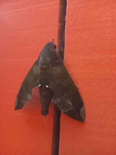

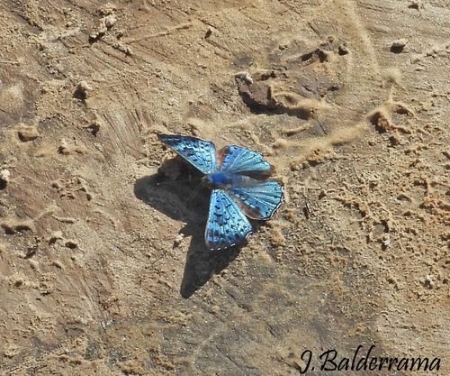
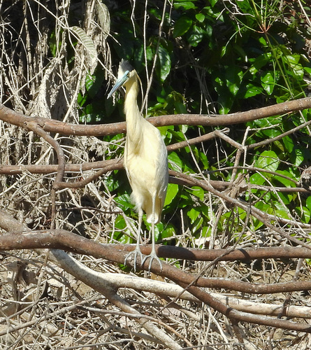



Research-grade observations from iNaturalist (within ~15 mi).
Events
Notable, recurring, and historical events associated with La Paz, sourced from Wikidata.
- 2019 Bolivian protestsOct 20, 2019demonstration
protests against electoral fraud allegations in the 2019 Bolivian elections
- Q16559872Jul 22, 2007demonstration
- Q5752855annual event
- Q136429496holiday
- Q136456175holiday
- Q136456181holiday
- Q136456193holiday
- Q136456205holiday
- Q136456264holiday
- Q136456283holiday
Source: Wikidata (CC0).
Gallery
Geotagged photos within ~6 miles of La Paz, from Wikimedia Commons contributors.

Photos via Wikimedia Commons — see each image page for license & attribution.
Sources
- • Wikipedia
- • Wikimedia Commons
- • Wikidata
- • Open-Meteo Air Quality (CAMS)
- • USGS Earthquake Catalog (global feed)
- • GBIF (Global Biodiversity Information Facility)
- • iNaturalist
- • Open-Elevation
- • Open-Meteo / sunrise-sunset.org
- • Wikipedia Pageviews API
- • Open Library