Browse / Bolivia / Bolivia / Mina Asientos
Mina Asientos
Boliviavillage
Total population
1,884
Air quality index
Demographic figures from INE Bolivia. Overview below cites Wikipedia and may reference a different year.
City facts
Overview
Mina Asientos is a village that lies in Bolivia. Located at -18.222°, -65.543°, Mina Asientos occupies a tropical portion of the southern hemisphere. Public datasets list a population of roughly 1,884. The location receives about 2,149 kWh/m² of solar irradiance per year and sunshine for roughly 84% of daylight hours. Based on its tropical position, residents likely encounter warm temperatures throughout the year with pronounced wet and dry seasons. Climate records indicate average highs near 82.2°F and lows near 57.3°F and about 47.6 in of annual precipitation (a wet total). Additional figures on demographics, climate, geography and points of interest appear in the sections that follow, all drawn from open public datasets.
Summary composed automatically from structured open data on this page. See our Terms for details.
History & geography
Geography
Coordinates & boundaries from the US Census TIGER/Line shapefiles.
Climate
10-year averages from ERA5 reanalysis (Open-Meteo).
Air quality
Current readings from Open-Meteo Air Quality API (Copernicus CAMS European reanalysis).
Walkability
Amenities nearby
Wildlife & biodiversity
Most-observed species
- Greater Wagtail-TyrantStigmatura budytoides (Orbigny & Lafresnaye, 1837) · Aves54
- Rufous-collared SparrowZonotrichia capensis (P.L.S.Müller, 1776) · Aves52
- Gray-crested FinchLophospingus griseocristatus (d'Orbigny & Lafresnaye, 1837) · Aves48
- Rufous HorneroFurnarius rufus (Gmelin, 1788) · Aves44
- Cliff FlycatcherHirundinea ferruginea (Gmelin, 1788) · Aves43
- Golden-billed SaltatorSaltator aurantiirostris Vieillot, 1817 · Aves43
- Masked GnatcatcherPolioptila dumicola (Vieillot, 1817) · Aves42
- Purple-throated EuphoniaEuphonia chlorotica (Linnaeus, 1766) · Aves39
Citizen-science & research observations from the Global Biodiversity Information Facility (GBIF).
Earthquake history
Most recent
- M 4.2 — 2025-12-0134 km ESE of Aiquile, Bolivia
- M 4.5 — 2025-09-135 km SE of Cliza, Bolivia
- M 4.3 — 2024-10-3034 km SE of Aiquile, Bolivia
- M 4.1 — 2024-03-2440 km NNW of Colquechaca, Bolivia
- M 4.5 — 2022-07-1436 km ENE of Colquechaca, Bolivia
- M 4.2 — 2022-04-2312 km NE of Colquechaca, Bolivia
Events from the USGS Earthquake Catalog (global) (FDSN Event Web Service).
Photos
Sights & places nearby
Notable people from here
Nearby places in Bolivia
- Majoematso5781.3 mi away
- Makeneng5781.7 mi away
- Ha Khoane5782 mi away
- Ha Mochekoane5782.4 mi away
- Ha Mpo5783 mi away
- Ha Mafa5783.2 mi away
- Ha 'Mantšebo5783.5 mi away
- Ha Gideone5784.7 mi away
- Motse-Mocha (Machekoaneng)5786.2 mi away
- Ha Takalimane5786.7 mi away
- Ha Mofoka5786.9 mi away
- Ramokholokotha5787.3 mi away
Geography & sun
Elevation, sunrise/sunset and daylight from Open-Meteo. Solar climatology from NASA POWER.
Nearby airports
Public attention
Books about this place
Recent natural events nearby
Ground air-quality sensors
Recently spotted species
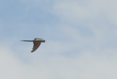
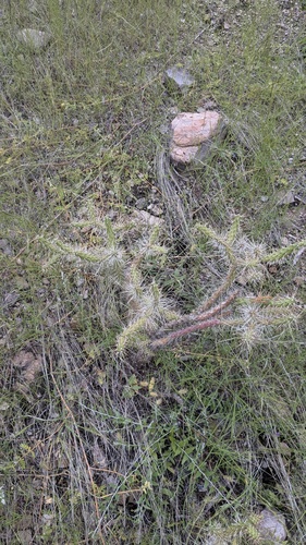
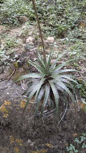
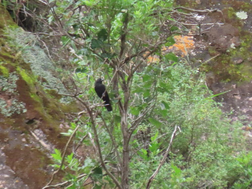
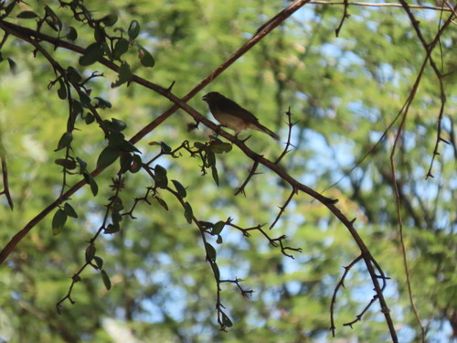
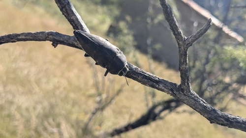
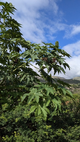
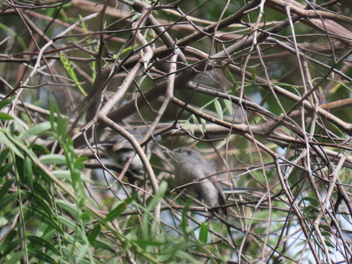
Research-grade observations from iNaturalist (within ~15 mi).
Events
Gallery
Geotagged photos within ~6 miles of Mina Asientos, from Wikimedia Commons contributors.


Photos via Wikimedia Commons — see each image page for license & attribution.
Sources
- • Open-Meteo (ERA5 reanalysis)
- • Wikimedia Commons
- • Wikidata
- • Open-Meteo Air Quality (CAMS)
- • USGS Earthquake Catalog (global feed)
- • GBIF (Global Biodiversity Information Facility)
- • iNaturalist
- • Open-Meteo / sunrise-sunset.org