Browse / Bolivia / Bolivia / Potosí
Potosí
Boliviacity

Potosí
Total population
198,397
Founded
1545
Air quality index
Demographic figures from INE Bolivia. Overview below cites Wikipedia and may reference a different year.
City facts
Sister cities
Facts from Wikidata (CC0).
Overview
Potosí, known as Villa Imperial de Potosí in the colonial period, is the capital city and a municipality of the Department of Potosí in Bolivia. It is one of the highest cities in the world at a nominal 4,067 m (13,343 ft). Diego Huallpa, an indigenous prospector, is traditionally credited with the discovery of the Cerro Rico in 1545, which led to the founding and rapid growth of Potosí due to its extraordinary silver wealth.
Read more on WikipediaHistory & geography
History
Founded in 1545 as a mining town, it soon produced fabulous wealth, and the population eventually exceeded 200,000 people. The city gave rise to a Spanish expression, still in use: valer un Potosí ("to be worth a Potosí"), meaning "to be of great value". The rich mountain, Cerro Rico, produced an estimated 60% of all silver mined in the world during the second half of the 16th century. Potosí miners at first mined the rich oxidized ores with native silver and silver chloride (cerargyrite) that could be fed directly into smelting furnaces. Especially successful were the small clay "flower pot" furnaces called guayras, which had been used by the Incas. By 1565, the miners had exhausted the direct-smelting ore, and silver production plummeted. Silver production was revived by the introduction of the patio process, invented by Spanish merchant Bartolomé de Medina in 1554. The patio process used mercury amalgamation to extract silver from lower-grade ores, and those containing silver sulfide (argentite), as was typical of the unoxidized ores found deeper in the mountain. In 1609, another mercury amalgamation method, the pan amalgamation process was invented in Potosí, and proved better-adapted to the conditions at Potosí. Spanish American mines were the world's most abundant sources of silver during this time period. Spanish America's ability to supply a great amount of silver and China's strong demand for this commodity which the Spanish supplied via Latin American trade with the Philippines using the Manila Galleons, In addition to five publicly employed scribes, some forty independent notaries documented and recorded commercial transactions as well as last wills and testaments. Since Potosí was of such economic importance to the Spanish Empire, the crown bureaucracy…
Geography
Located in the Bolivian tin belt, Cerro Rico de Potosí is the world's largest silver deposit and has been mined since the sixteenth century, producing up to 60,000 tonnes by 1996. Estimates are that much silver still remains in the mines. Potosí became the second largest city, and the site of the first mint, in the Americas. By 1891, low silver prices prompted the change to mining tin, which continued until 1985. At peak production in the sixteenth and seventeenth centuries, the ore contained up to 40% silver. The ore deposits reside in veins present in the dacite volcanic dome. The hill is "honeycombed" with underground workings, reaching from the summit to depths of . The conical hill has a reddish-brown gossan cap of iron-oxides and quartz, with grayish-blue altered dacite and many mine dumps below. }}
Excerpted from the corresponding Wikipedia article (CC BY-SA).
Geography
Coordinates & boundaries from the US Census TIGER/Line shapefiles.
Climate
Air quality
Current readings from Open-Meteo Air Quality API (Copernicus CAMS European reanalysis).
Walkability
Amenities nearby
Wildlife & biodiversity
Most-observed species
- Soehrensia tarijensis (Vaupel) Schlumpb.Soehrensia tarijensis (Vaupel) Schlumpb. · Magnoliopsida27
- Subtropical LadyVanessa carye (Hübner, 1812) · Insecta25
- Rock PigeonColumba livia J.F.Gmelin, 1789 · Aves24
- Rufous-collared SparrowZonotrichia capensis (P.L.S.Müller, 1776) · Aves24
- Cumulopuntia boliviana (Salm-Dyck) F.RitterCumulopuntia boliviana (Salm-Dyck) F.Ritter · Magnoliopsida21
- Chiguanco ThrushTurdus chiguanco Orbigny & Lafresnaye, 1837 · Aves15
- Spiny CockleburXanthium spinosum L. · Magnoliopsida15
- Austrocylindropuntia shaferi (Britton & Rose) Backeb.Austrocylindropuntia shaferi (Britton & Rose) Backeb. · Magnoliopsida14
Citizen-science & research observations from the Global Biodiversity Information Facility (GBIF).
Earthquake history
Most recent
- M 4.9 — 2024-09-2267 km S of Challapata, Bolivia
- M 4.5 — 2024-05-0977 km S of Challapata, Bolivia
- M 4.3 — 2023-08-06Oruro-Potosi border region, Bolivia
- M 4.1 — 2021-03-1076 km NNE of Colchani, Bolivia
- M 4 — 2018-01-2243 km NNW of Camargo, Bolivia
- M 4.3 — 2016-12-2777 km NNE of Colchani, Bolivia
Events from the USGS Earthquake Catalog (global) (FDSN Event Web Service).
Photos
Sights & places nearby
Notable people from here


People born within ~10 km, from Wikidata (CC0). Click any name for their Wikipedia article.
Nearby places in Bolivia
- Ha Mochekoane5748.7 mi away
- Ha Mpo5749.3 mi away
- Ha 'Mantšebo5749.8 mi away
- Ha Mofoka5753.1 mi away
- Lehaheng5755.8 mi away
- Ha Mapeshoane5756 mi away
- Riqab7786.6 mi away · pop. 567
- `Uqaqah7794.8 mi away · pop. 3,442
- Annah7802.8 mi away · pop. 1,188
- Ahayin7804.7 mi away · pop. 1,496
- Hazarah7814.6 mi away
- Darin7814.7 mi away · pop. 542
Geography & sun
Elevation, sunrise/sunset and daylight from Open-Meteo. Solar climatology from NASA POWER.
Nearby airports
Public attention
Pageview totals from the Wikimedia Pageviews API.
Books about Potosí
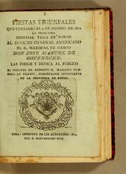

Search results from Open Library.
Recent natural events nearby
Ground air-quality sensors
Recently spotted species
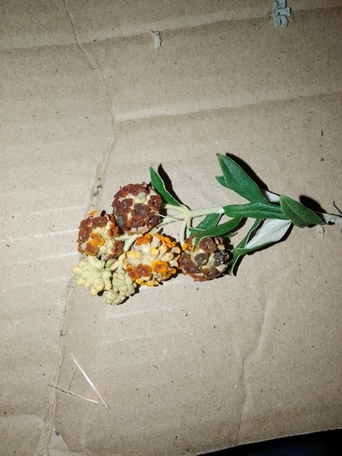
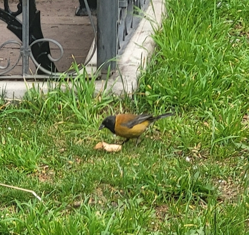
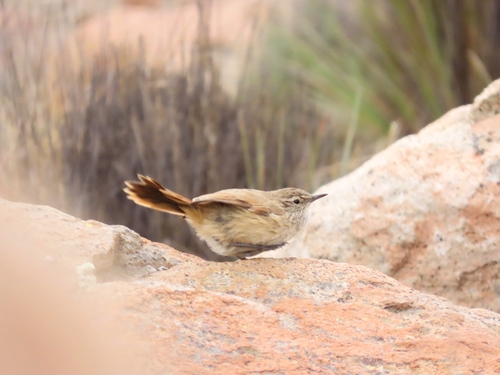
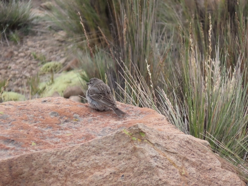
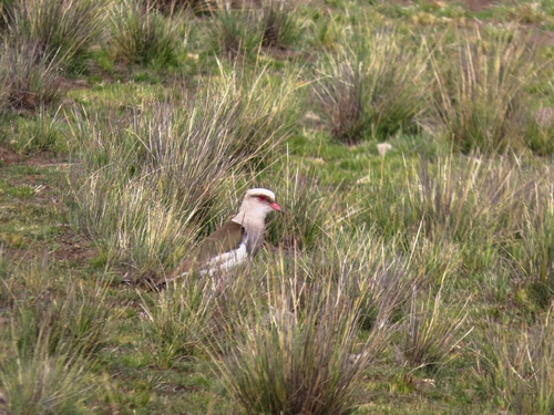
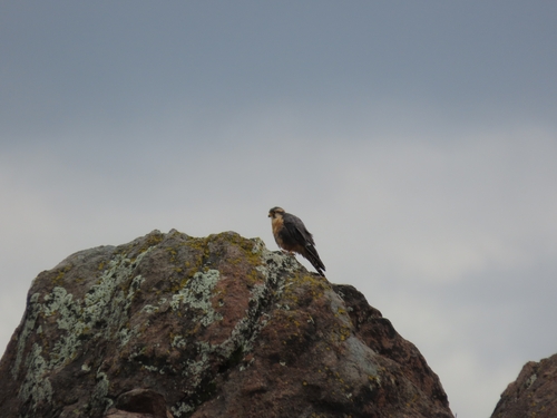
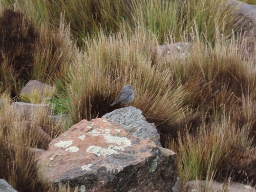
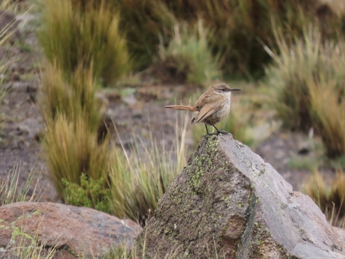
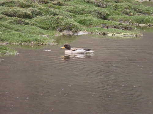
Research-grade observations from iNaturalist (within ~15 mi).
Events
Notable, recurring, and historical events associated with Potosí, sourced from Wikidata.
- 2019 Bolivian protestsOct 20, 2019demonstration
protests against electoral fraud allegations in the 2019 Bolivian elections
Source: Wikidata (CC0).
Gallery
Geotagged photos within ~6 miles of Potosí, from Wikimedia Commons contributors.
.jpg)
.jpg)
.jpg)
.jpg)
.jpg)
.jpg)
.jpg)
.jpg)
.jpg)


.jpg)


.jpg)

.jpg)
.jpg)
.jpg)
.jpg)
.jpg)
Photos via Wikimedia Commons — see each image page for license & attribution.
Sources
- • Wikipedia
- • Wikimedia Commons
- • Wikidata
- • Open-Meteo Air Quality (CAMS)
- • USGS Earthquake Catalog (global feed)
- • GBIF (Global Biodiversity Information Facility)
- • iNaturalist
- • Open-Elevation
- • Open-Meteo / sunrise-sunset.org
- • Wikipedia Pageviews API
- • Open Library