Browse / Brazil / Goiás / Acreúna
Acreúna
Goiástown

Acreúna
Total population
21,568
Founded
1976
Air quality index
Demographic figures from IBGE. Overview below cites Wikipedia and may reference a different year.
City facts
Facts from Wikidata (CC0).
Overview
Acreúna is a city and municipality in western Goiás state, Brazil.
Read more on WikipediaHistory & geography
History
The town appeared in 1964 in the territory of the municipality of Paraúna. It was created through the initiative of Benedicto Arystogogo de Mello, who had already founded the settlements of Riverlândia, in Rio Verde, and Vila Brasil, in Santa Helena de Goiás. Mello negotiated with a large landowner of the region to begin selling the lots. The lands were on the banks of the Rio Verdão and near the Brasília – Acre highway, which was under construction at the time. Origin of the name The name of the town, Acreúna, comes from a combination of Acre, final destination of the highway which crosses the town, and Una, a tribute to Paraúna, the municipality where it had been located before becoming a separate municipality. It became a district in 1968 and, thanks to its rapid population growth and economic development, it separated from Paraúna in 1976 to become an independent municipality.
Excerpted from the corresponding Wikipedia article (CC BY-SA).
Geography
Coordinates & boundaries from the US Census TIGER/Line shapefiles.
Climate
Air quality
Current readings from Open-Meteo Air Quality API (Copernicus CAMS European reanalysis).
Walkability
Amenities nearby
Wildlife & biodiversity
Most-observed species
- Greater RheaRhea americana (Linnaeus, 1758) · Aves4
- JabiruJabiru mycteria (Lichtenstein, 1819) · Aves2
- Black-bellied Whistling-DuckDendrocygna autumnalis (Linnaeus, 1758) · Aves2
- CashewAnacardium occidentale L. · Magnoliopsida2
- Lethocerus annulipes (Herrich-Schaeffer, 1845)Lethocerus annulipes (Herrich-Schaeffer, 1845) · Insecta1
- giant anteaterMyrmecophaga tridactyla Linnaeus, 1758 · Mammalia1
- black howlerAlouatta caraya (Humboldt, 1812) · Mammalia1
- Black-Headed SnakeTantilla melanocephala (Linnaeus, 1758) · Squamata1
Citizen-science & research observations from the Global Biodiversity Information Facility (GBIF).
Earthquake history
Events from the USGS Earthquake Catalog (global) (FDSN Event Web Service).
Photos
Sights & places nearby
Notable people from here

People born within ~10 km, from Wikidata (CC0). Click any name for their Wikipedia article.
Nearby places in Goiás
- Santo Antônio da Barra20.5 mi away · pop. 4,267
- Pedro Pires da Silva21.2 mi away
- Fúlvia C. Lopes22.5 mi away
- Carlândia24.3 mi away
- Santa Cruz das Lajes25.7 mi away
- São Silvestre26.5 mi away
- Paraúna31.2 mi away · pop. 10,659
- Indiara31.2 mi away · pop. 17,061
- Porteirão32 mi away · pop. 4,070
- Coqueiros34.2 mi away
- Maurilândia39.9 mi away · pop. 10,304
- São João da Paraúna40.1 mi away · pop. 1,774
Geography & sun
Elevation, sunrise/sunset and daylight from Open-Meteo. Solar climatology from NASA POWER.
Nearby airports
Public attention
Pageview totals from the Wikimedia Pageviews API.
Books about this place
Recent natural events nearby
Ground air-quality sensors
Recently spotted species
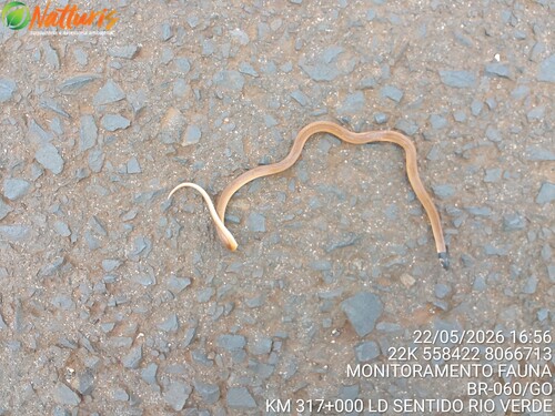
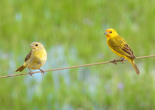
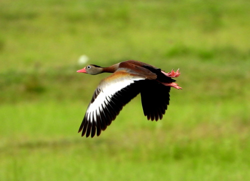
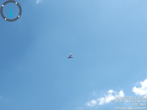
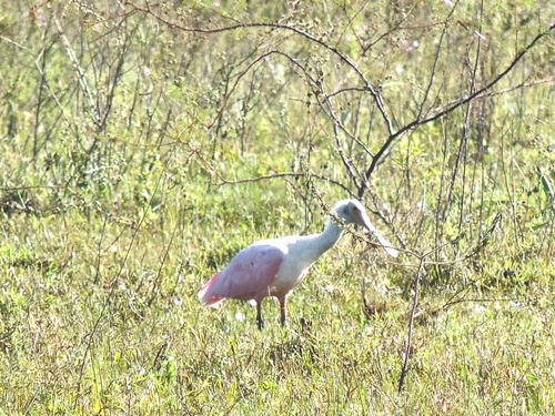
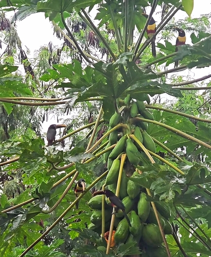
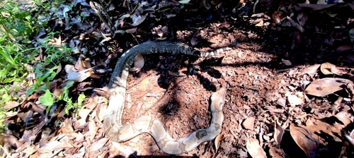
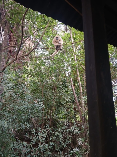
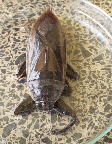
Research-grade observations from iNaturalist (within ~15 mi).
Events
Gallery
Official Identifiers
IBGE — Brazilian Institute of Geography and Statistics
- IBGE code
- 5200134
- UF
- GO
- Mesorregião
- Sul Goiano
- Microrregião
- Vale do Rio dos Bois
servicodados.ibge.gov.br
Sources
- • Wikipedia
- • Wikidata
- • Open-Meteo Air Quality (CAMS)
- • USGS Earthquake Catalog (global feed)
- • GBIF (Global Biodiversity Information Facility)
- • iNaturalist
- • Open-Elevation
- • Open-Meteo / sunrise-sunset.org
- • Wikipedia Pageviews API
- • IBGE — Brazilian national statistics, via servicodados.ibge.gov.br (official municipal code, UF, mesorregião, microrregião, region)
- • IBGE — Brazilian Institute of Geography and Statistics — servicodados.ibge.gov.br