Browse / Brazil / Alagoas / Água Fria
Água Fria
Alagoashamlet
Demographic figures from IBGE. Overview below cites Wikipedia and may reference a different year.
City facts
Overview
Água Fria, a hamlet in Alagoas, Brazil, forms part of the country's settled landscape. Up-to-date population figures for this locality are not available in the open datasets we monitor. Its coordinates of -9.102°, -36.160° place it in the equatorial zone of the southern hemisphere. The latitude suggests hot and humid year-round with little seasonal temperature variation. Climate records indicate average highs near 83°F and lows near 69.1°F and about 56.8 in of annual precipitation (a wet total). Open-data panels below dive into population trends, climate normals, environmental indicators and nearby places.
Summary composed automatically from structured open data on this page. See our Terms for details.
History & geography
Geography
Coordinates & boundaries from the US Census TIGER/Line shapefiles.
Climate
10-year averages from ERA5 reanalysis (Open-Meteo).
Air quality
Walkability
Amenities nearby
Wildlife & biodiversity
Earthquake history
Photos
Sights & places nearby
Notable people from here
Geography & sun
Nearby airports
Public attention
Books about this place
Recent natural events nearby
Ground air-quality sensors
Recently spotted species
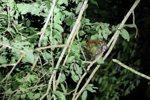
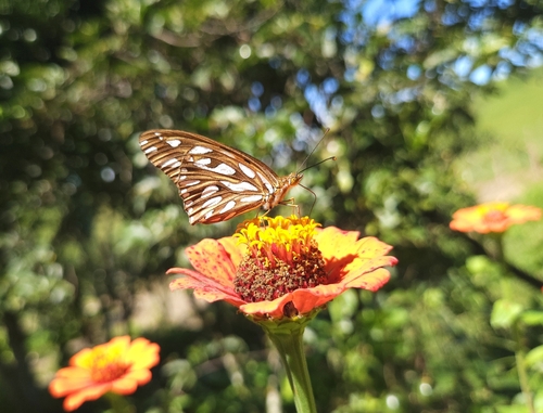
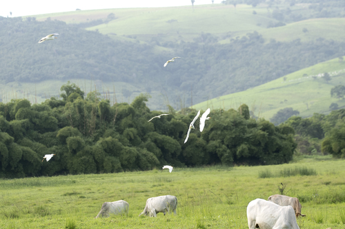
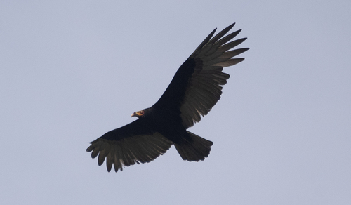
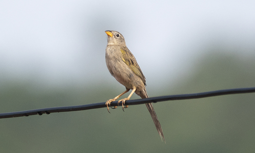
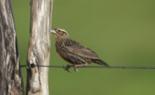

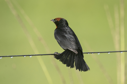
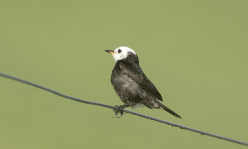
Research-grade observations from iNaturalist (within ~15 mi).
Events
Gallery
Official Identifiers
IBGE — Brazilian Institute of Geography and Statistics
- IBGE code
- 2900405
- Population (Wikidata)
- 14,497
- Wikidata
- Q1762459
servicodados.ibge.gov.br
Sources
- • Open-Meteo (ERA5 reanalysis)
- • iNaturalist
- • IBGE — Brazilian national statistics, via servicodados.ibge.gov.br (official municipal code, UF, mesorregião, microrregião, region)
- • IBGE — Brazilian Institute of Geography and Statistics — servicodados.ibge.gov.br