Browse / Brazil / Roraima / Apuí
Apuí
Roraimahamlet
Air quality index
Demographic figures from IBGE. Overview below cites Wikipedia and may reference a different year.
City facts
Overview
Apuí is a hamlet that lies in Roraima, Brazil. Apuí maps to 3.715°, -60.903° — squarely within the equatorial belt. Up-to-date population figures for this locality are not available in the open datasets we monitor. Climate records indicate average highs near 89.7°F and lows near 74.9°F and about 93.1 in of annual precipitation (a very wet total). Based on its equatorial position, residents likely encounter hot and humid year-round with little seasonal temperature variation. Solar-resource estimates put the area at about 1,993 kWh/m² of solar irradiance per year with sunshine for roughly 78% of daylight hours. Continue scrolling for population, climate, environmental and points-of-interest data drawn from public sources.
Summary composed automatically from structured open data on this page. See our Terms for details.
History & geography
Geography
Coordinates & boundaries from the US Census TIGER/Line shapefiles.
Climate
10-year averages from ERA5 reanalysis (Open-Meteo).
Air quality
Current readings from Open-Meteo Air Quality API (Copernicus CAMS European reanalysis).
Walkability
Amenities nearby
Wildlife & biodiversity
Most-observed species
- Savanna HawkButeogallus meridionalis (Latham, 1790) · Aves6
- Fork-tailed FlycatcherTyrannus savana Vieillot, 1808 · Aves6
- Southern CaracaraCaracara plancus (J.F.Miller, 1777) · Aves4
- Wattled JacanaJacana jacana (Linnaeus, 1766) · Aves4
- Black VultureCoragyps atratus (Bechstein, 1793) · Aves4
- JabiruJabiru mycteria (Lichtenstein, 1819) · Aves4
- Eared DoveZenaida auriculata (Des Murs, 1847) · Aves4
- Muscovy DuckCairina moschata (Linnaeus, 1758) · Aves4
Citizen-science & research observations from the Global Biodiversity Information Facility (GBIF).
Earthquake history
Most recent
- M 4.5 — 2024-01-0728 km SW of Santa Elena de Uairén, Venezuela
Events from the USGS Earthquake Catalog (global) (FDSN Event Web Service).
Photos
Sights & places nearby
Notable people from here
Nearby places in Roraima
- Cachoeira do Moça4.7 mi away
- Comunidade Indígena Três Corações (Km 100)6.9 mi away
- Serra do Tabaco6.9 mi away
- Lage8.9 mi away
- Boiadeiro do Rio10.7 mi away
- Urberlandia10.9 mi away
- Fazenda Mutun12.7 mi away
- São Pedro13.2 mi away
- Lago Azul13.6 mi away
- Resolução14.6 mi away
- Vale do Pajoú15.3 mi away
- Deurdete16.4 mi away
Geography & sun
Elevation, sunrise/sunset and daylight from Open-Meteo. Solar climatology from NASA POWER.
Nearby airports
Public attention
Pageview totals from the Wikimedia Pageviews API.
Books about this place
Recent natural events nearby
Ground air-quality sensors
Recently spotted species
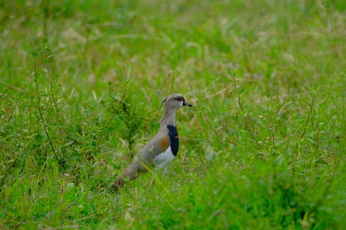
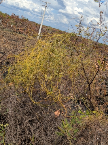
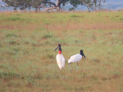
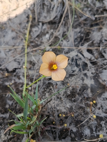
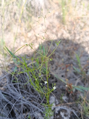
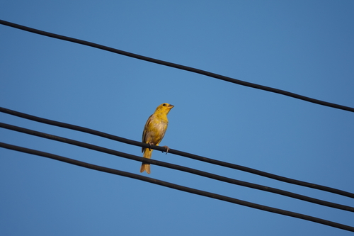
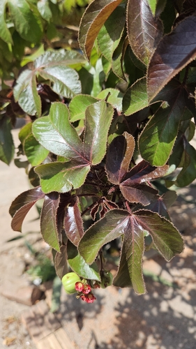
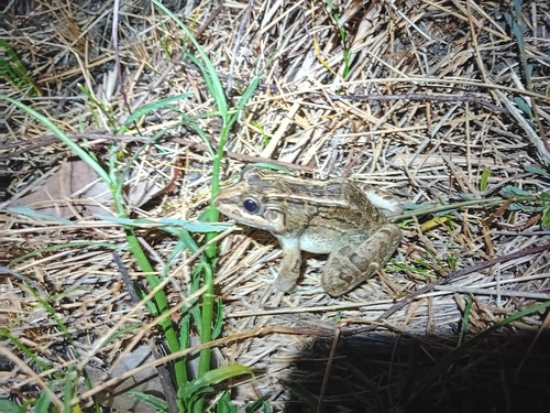
Research-grade observations from iNaturalist (within ~15 mi).
Events
Gallery
Official Identifiers
IBGE — Brazilian Institute of Geography and Statistics
- IBGE code
- 1300144
- Population (Wikidata)
- 20,647
- Wikidata
- Q1112525
servicodados.ibge.gov.br
Sources
- • Open-Meteo (ERA5 reanalysis)
- • Wikidata
- • Open-Meteo Air Quality (CAMS)
- • USGS Earthquake Catalog (global feed)
- • GBIF (Global Biodiversity Information Facility)
- • iNaturalist
- • Open-Meteo / sunrise-sunset.org
- • Wikipedia Pageviews API
- • IBGE — Brazilian national statistics, via servicodados.ibge.gov.br (official municipal code, UF, mesorregião, microrregião, region)
- • IBGE — Brazilian Institute of Geography and Statistics — servicodados.ibge.gov.br