Browse / Brazil / Mato Grosso do Sul / Aquidauana
Aquidauana
Mato Grosso do Sultown

Aquidauana
Total population
46,803
Founded
1892
Demographic figures from IBGE. Overview below cites Wikipedia and may reference a different year.
City facts
Sister cities
Facts from Wikidata (CC0).
Overview
Aquidauana is a Brazilian municipality in the state of Mato Grosso do Sul, located in the mesoregion of the Pantanais Sul-Mato-Grossenses and in the microregion of Aquidauana. In the regional division of the Brazilian Institute of Geography and Statistics (IBGE), it is part of the immediate region of Aquidauana-Anastácio and the intermediate region of Corumbá. Situated in the Serra de Maracaju about 131 km (81 mi) from Campo Grande, the state capital, the city of Aquidauana comprises the northern area of the state, from Morrinho do Pimentel, on the border with Corumbá and Rio Verde, to Anastácio, to the south. According to the 2022 census, it had 46,803 inhabitants.
Read more on WikipediaHistory & geography
History
In the vicinity of the ruins of Santiago de Xeres — an old city founded in 1579 by the Spaniard Ruy Díaz de Melgarejo, found in 1776 by the explorer João Leme do Prado, on the left bank of the Mboteteu River — Aquidauana rises, about from the confluence of that river with the Miranda River. Its foundation dates from August 15, 1892, when the farmers situated on the lands bathed by the Aquidauana and Miranda rivers decided to found a settlement that would facilitate the communications common to their interests.
Geography
The municipality of Aquidauana is located in the south of the Center-West region of Brazil, in the mesoregion of the Pantanais Sul-Mato-Grossenses and in the microregion of Aquidauana. It is located at latitude 20º28'15" south and longitude 55°47'13" west, about from Campo Grande by road. The municipality covers a surface of , with a population density of in the 2022 census, which makes it the 4th largest municipality in the state by area. Its area extends from Morrinho do Pimentel, on the border with Corumbá and Rio Verde, in the north, to Anastácio, further south. Aquidauana has as neighbours the municipalities of Anastácio, Dois Irmãos do Buriti and Miranda, to the south; Corguinho, Rio Negro and Terenos, to the east; Rio Verde de Mato Grosso, to the north; and Corumbá, to the west. The municipality is in the UTC−4 time zone, one hour behind Brasília time. It is situated in a region of the Serra da Piraputanga and Maracaju; its territory is divided into two parts: the low one (two thirds of the municipality) and the high one (Serra de Maracaju/Piraputanga). The tropical climate of the region, with an annual average of , characterises two opposite moments: the period between October and April is marked by floods and high temperatures; from mid-July to the end of September, it represents a dry period, with the occurrence of frosts and a milder temperature of approximately . Climate normals of Aquidauana: {| class="wikitable" ! style="background: #99CCCC; color: #000080" height="17" | Month ! style="background: #99CCCC; color:#000080;" | Jan ! style="background: #99CCCC; color:#000080;" | Feb ! style="background: #99CCCC; color:#000080;" | Mar ! style="background: #99CCCC; color:#000080;" | Apr ! style="background: #99CCCC; color:#000080;" | May !…
Excerpted from the corresponding Wikipedia article (CC BY-SA).
Geography
Coordinates & boundaries from the US Census TIGER/Line shapefiles.
Climate
Air quality
Walkability
Amenities nearby
Wildlife & biodiversity
Most-observed species
- Rufous HorneroFurnarius rufus (Gmelin, 1788) · Aves272
- Great KiskadeePitangus sulphuratus (Linnaeus, 1766) · Aves251
- Southern LapwingVanellus chilensis (Molina, 1782) · Aves245
- Buff-necked IbisTheristicus caudatus (Boddaert, 1783) · Aves219
- Blue-and-yellow MacawAra ararauna (Linnaeus, 1758) · Aves210
- Ruddy Ground-DoveColumbina talpacoti (Temminck, 1810) · Aves199
- Red-legged SeriemaCariama cristata (Linnaeus, 1766) · Aves197
- Toco ToucanRamphastos toco P.L.S.Müller, 1776 · Aves192
Citizen-science & research observations from the Global Biodiversity Information Facility (GBIF).
Earthquake history
Events from the USGS Earthquake Catalog (global) (FDSN Event Web Service).
Photos
Sights & places nearby
Notable people from here


People born within ~10 km, from Wikidata (CC0). Click any name for their Wikipedia article.
Nearby places in Mato Grosso do Sul
- Anastácio1.6 mi away · pop. 24,114
- Dois Irmãos do Buriti36 mi away · pop. 11,100
- Miranda42.2 mi away · pop. 25,536
- Campo Alegre43.7 mi away
- Mateira47.5 mi away
- Santa Guilhermina49.7 mi away
- Cidade Zigurats54.9 mi away
- Arizona57.8 mi away
- Santa Olinda58 mi away
- Bodoquena58.2 mi away · pop. 8,567
- Terenos59.4 mi away · pop. 17,652
- Retiro Velho60.4 mi away
Geography & sun
Elevation, sunrise/sunset and daylight from Open-Meteo. Solar climatology from NASA POWER.
Nearby airports
Public attention
Pageview totals from the Wikimedia Pageviews API.
Books about Aquidauana

Search results from Open Library.
Recent natural events nearby
Ground air-quality sensors
Recently spotted species
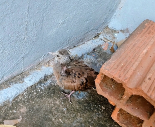
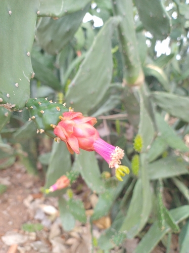
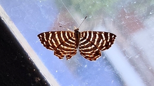
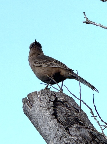
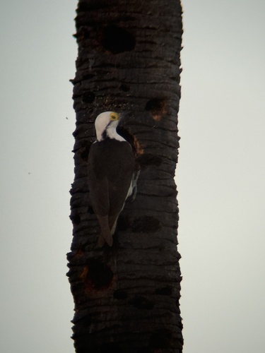
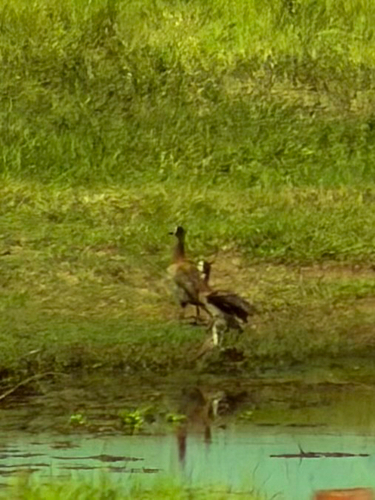
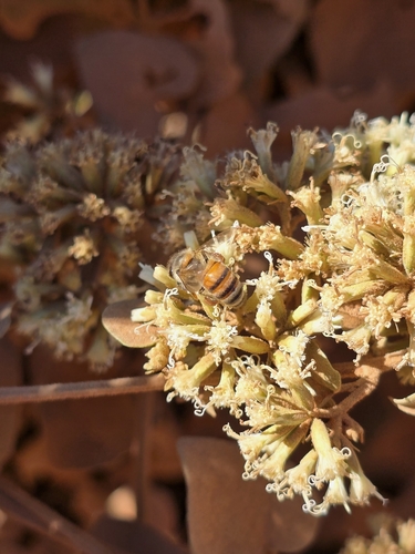
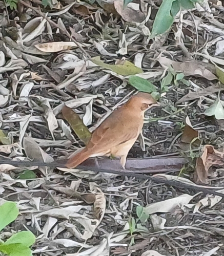
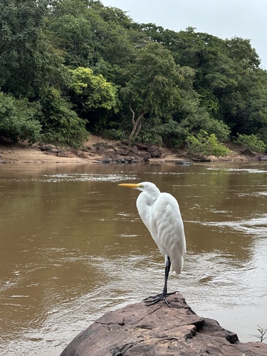
Research-grade observations from iNaturalist (within ~15 mi).
Events
Gallery
Official Identifiers
IBGE — Brazilian Institute of Geography and Statistics
- IBGE code
- 5001102
- UF
- MS
- Mesorregião
- Pantanais Sul Mato-grossense
- Microrregião
- Aquidauana
servicodados.ibge.gov.br
Sources
- • Wikipedia
- • Wikidata
- • USGS Earthquake Catalog (global feed)
- • GBIF (Global Biodiversity Information Facility)
- • iNaturalist
- • Open-Meteo / sunrise-sunset.org
- • Wikipedia Pageviews API
- • Open Library
- • IBGE — Brazilian national statistics, via servicodados.ibge.gov.br (official municipal code, UF, mesorregião, microrregião, region)
- • IBGE — Brazilian Institute of Geography and Statistics — servicodados.ibge.gov.br