Browse / Brazil / Sergipe / Aracaju
Aracaju
Sergipecity

Aracaju
Total population
602,757
Founded
1855
Demographic figures from IBGE. Overview below cites Wikipedia and may reference a different year.
City facts
Facts from Wikidata (CC0).
Overview
Aracaju is the capital of the state of Sergipe, in northeastern Brazil, about 350 km (217 mi) north of Salvador. According to the 2020 estimate, the city has 664,908 inhabitants, which represents approximately 33% of the state population. Adding to the populations of the municipalities forming the Metropolitan area: Barra dos Coqueiros, Nossa Senhora do Socorro and São Cristóvão. Its Metropolitan Cathedral Nossa Senhora da Conceiçao, dedicated to Our Lady of Immaculate Conception, is the archiepiscopal see of the Roman Catholic Archdiocese of Aracaju.
Read more on WikipediaHistory & geography
History
The land of present-day Aracaju was located in a sesmaria given to Pero Gonçalves by the Portuguese crown around 1602. The land consisted of of coastline with small fishing villages. A village called Santo Antônio de Aracaju was recorded in 1699. It was located at the mouth of the Sergipe River at the Atlantic Ocean, and was founded by João Mulato, an indigenous Brazilian. The settlement saw little growth in the 18th century, and was part of the parish of Nossa Senhora do Perpétuo Socorro do Tomar do Cotinguiba. The capital of São Cristóvão presented numerous difficulties as the capital of Sergipe, primarily its inland location. São Cristóvão had only a small port on a river, and was accessed only with small boats. As a result, large ships were unable to land in Sergipe. Government officials in Sergipe began a search for land for a new capital in the 1850s. The beach that is now located in Aracaju near the mouth of the Sergipe River was a major point of interest. The state government transferred the customs and the Provincial Revenue Bureau to that location. They additionally built a post office and police sub-station. In addition, a port was built on the beach, called Atalaia. The capital of the state of Sergipe was moved from São Cristóvão to Aracaju on March 17, 1855.
Geography
The geographical area containing Aracaju is antipodal with the more famous Mariana Trench in northern hemisphere. Aracaju's climate is hot and humid, and the city experiences a tropical savanna climate. The average annual temperature is and average annual rainfall is .), (Precipitation), (Humidity), (Dew Point), (Sun |source 2= NOAA Weather atlas(Daylight-UV) Brazilian National Institute of Meteorology (INMET). }}
Excerpted from the corresponding Wikipedia article (CC BY-SA).
Geography
Coordinates & boundaries from the US Census TIGER/Line shapefiles.
Climate
Air quality
Walkability
Amenities nearby
Wildlife & biodiversity
Most-observed species
- Great KiskadeePitangus sulphuratus (Linnaeus, 1766) · Aves85
- Southern CaracaraCaracara plancus (J.F.Miller, 1777) · Aves76
- Southern LapwingVanellus chilensis (Molina, 1782) · Aves58
- Ruddy Ground-DoveColumbina talpacoti (Temminck, 1810) · Aves53
- Rock PigeonColumba livia J.F.Gmelin, 1789 · Aves51
- Great EgretArdea alba Linnaeus, 1758 · Aves49
- Black VultureCoragyps atratus (Bechstein, 1793) · Aves47
- common marmosetCallithrix jacchus (Linnaeus, 1758) · Mammalia47
Citizen-science & research observations from the Global Biodiversity Information Facility (GBIF).
Earthquake history
Events from the USGS Earthquake Catalog (global) (FDSN Event Web Service).
Photos
Sights & places nearby
Notable people from here


People born within ~10 km, from Wikidata (CC0). Click any name for their Wikipedia article.
Nearby places in Sergipe
Geography & sun
Elevation, sunrise/sunset and daylight from Open-Meteo. Solar climatology from NASA POWER.
Nearby airports
Public attention
Pageview totals from the Wikimedia Pageviews API.
Books about Aracaju
Search results from Open Library.
Recent natural events nearby
Ground air-quality sensors
Recently spotted species
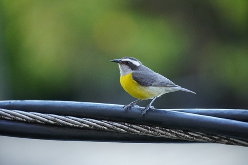
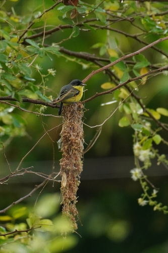
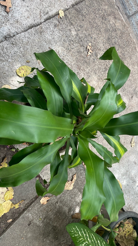
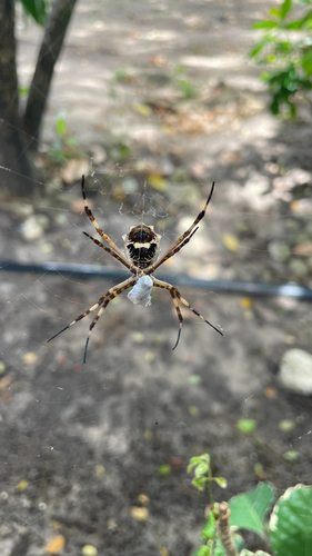
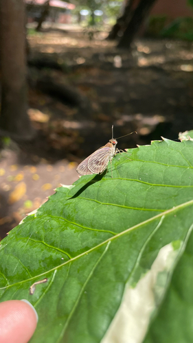
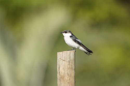
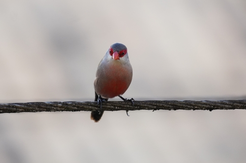
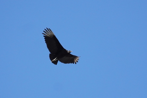
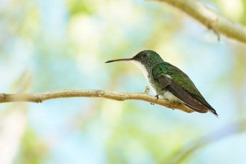
Research-grade observations from iNaturalist (within ~15 mi).
Events
Notable, recurring, and historical events associated with Aracaju, sourced from Wikidata.
- Q10283574planned event
Source: Wikidata (CC0).
Gallery
Official Identifiers
IBGE — Brazilian Institute of Geography and Statistics
- IBGE code
- 2800308
- UF
- SE
- Mesorregião
- Leste Sergipano
- Microrregião
- Aracaju
servicodados.ibge.gov.br
Sources
- • Wikipedia
- • Wikidata
- • USGS Earthquake Catalog (global feed)
- • GBIF (Global Biodiversity Information Facility)
- • iNaturalist
- • Open-Meteo / sunrise-sunset.org
- • Wikipedia Pageviews API
- • Open Library
- • Wikidata SPARQL (CC0) — population, area, elevation, inception, head of government, Commons image
- • IBGE — Brazilian national statistics, via servicodados.ibge.gov.br (official municipal code, UF, mesorregião, microrregião, region)
- • IBGE — Brazilian Institute of Geography and Statistics — servicodados.ibge.gov.br