Browse / Brazil / Minas Gerais / Araçuaí
Araçuaí
Minas Geraistown

Araçuaí
Total population
34,297
Demographic figures from IBGE. Overview below cites Wikipedia and may reference a different year.
City facts
Facts from Wikidata (CC0).
Overview
Araçuaí is a municipality in northeastern Minas Gerais, Brazil, in the Jequitinhonha River valley. The Araçuaí River, a tributary of the Jequitinhonha, flows through the municipality. It had a population of 34,297 in the 2022 census, with an estimated population of 35,185 in 2025, in an area of 2,236.279 km2 (863.432 sq mi). It is part of the Immediate Geographic Region of Araçuaí, within the Intermediate Geographic Region of Teófilo Otoni. The city is the seat of the Roman Catholic Diocese of Araçuaí.
Read more on WikipediaHistory & geography
History
Before the arrival of the Europeans, the current municipality of Araçuaí was inhabited by the Tocoió and Botocudo indigenous. The priest Carlos Pereira de Moura had founded the Aldeia do Pontal, currently Itira. The village was located next to the confluence of two large rivers: the Jequitinhonha and the Araçuaí. The village had a set of qualities to evolve into a city, such as easy access to canoes, used at the time for navigating rivers, but the priest was excessively demanding and authoritarian, prohibiting alcoholic beverages and prostitutes there. So, the prostitutes emigrated up the Araçuaí River, and the canoeists changed ports, attracted by them. The prostitutes were sheltered by Luciana Teixeira, owner of the Fazenda da Boa Vista da Barra do Calhau, on her lands on the right bank of the Calhau and Araçuaí streams. This became the landing point for the canoes that went up the Jequitinhonha. Luciana started a village on her land in 1817. Over time, the place gained importance. It was established under the name Vila de Arassuahy on July 1, 1871, and on September 21 of the same year it was elevated to the category of city, with the name Araçuaí. Until 1911, the city was the capital of the entire northeast of Minas Gerais. In 1882, the Bahia and Minas Railway was built, connecting the Bahian city of Caravelas to Araçuaí, but it was deactivated and closed in 1966. Today, Araçuaí is considered one of the commercial and educational centers of the Jequitinhonha valley.
Geography
According to the regional division in force since 2017, established by the IBGE, the municipality belongs to the Intermediate Geographic Region of Teófilo Otoni and Immediate Geographic Region of Araçuaí. Until then, with the divisions into microregions and mesoregions in force, it was part of the microregion of Araçuaí, which in turn was included in the mesoregion of Jequitinhonha. The maximum temperature of 44.8 °C (112.6 °F) recorded on November 19, 2023, in Araçuaí, is considered the highest ever maximum temperature recorded in Brazil.
Excerpted from the corresponding Wikipedia article (CC BY-SA).
Geography
Coordinates & boundaries from the US Census TIGER/Line shapefiles.
Climate
Air quality
Walkability
Amenities nearby
Wildlife & biodiversity
Earthquake history
Photos
Sights & places nearby
Notable people from here
Nearby places in Minas Gerais
- Jenipapo de Minas20.7 mi away · pop. 6,100
- Engenheiro Schnoor21.4 mi away
- Barra de Salinas22.7 mi away
- Tocoiós de Minas26 mi away
- Granjas do Norte29.8 mi away
- Lelivéldia32.6 mi away
- Caraí33.8 mi away · pop. 19,548
- Santa Rita do Araçuaí39.6 mi away
- Comercinho42.2 mi away · pop. 6,660
- Novilhona43.1 mi away
- Padre Carvalho44.7 mi away · pop. 5,058
- Itaipé46.3 mi away · pop. 10,463
Geography & sun
Elevation, sunrise/sunset and daylight from Open-Meteo. Solar climatology from NASA POWER.
Nearby airports
Public attention
Pageview totals from the Wikimedia Pageviews API.
Books about Araçuaí
Search results from Open Library.
Recent natural events nearby
Ground air-quality sensors
Recently spotted species
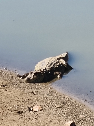
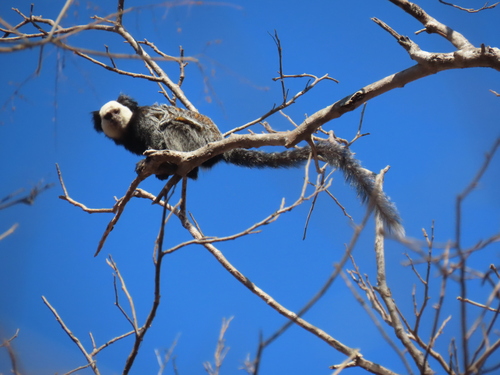
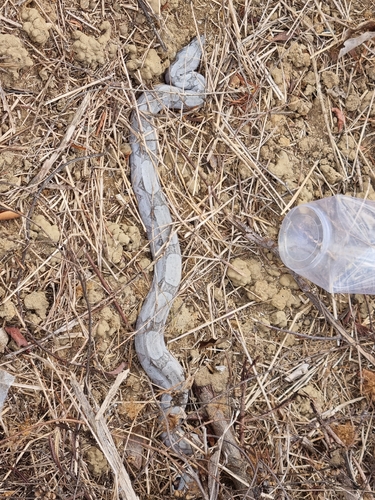
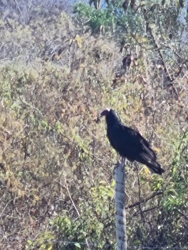
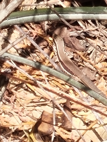
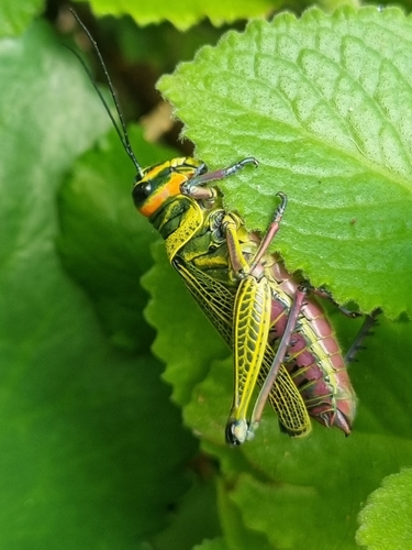
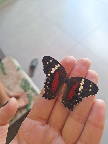
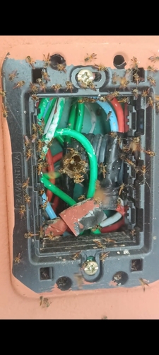
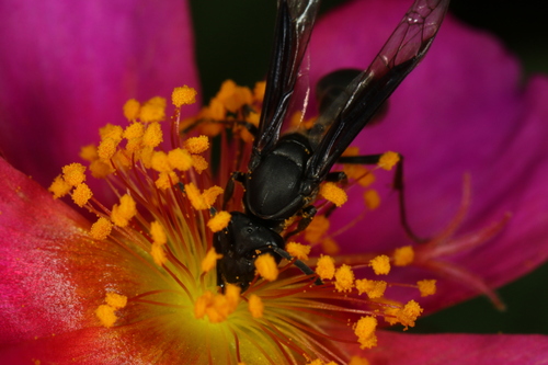
Research-grade observations from iNaturalist (within ~15 mi).
Events
Gallery
Official Identifiers
IBGE — Brazilian Institute of Geography and Statistics
- IBGE code
- 3103405
- UF
- MG
- Mesorregião
- Jequitinhonha
- Microrregião
- Araçuaí
servicodados.ibge.gov.br
Sources
- • Wikipedia
- • Wikidata
- • iNaturalist
- • Open-Meteo / sunrise-sunset.org
- • Wikipedia Pageviews API
- • Open Library
- • IBGE — Brazilian national statistics, via servicodados.ibge.gov.br (official municipal code, UF, mesorregião, microrregião, region)
- • IBGE — Brazilian Institute of Geography and Statistics — servicodados.ibge.gov.br