Browse / Brazil / Minas Gerais / Araguari
Araguari
Minas Geraiscity

Araguari
Total population
117,808
Founded
1888
Air quality index
Demographic figures from IBGE. Overview below cites Wikipedia and may reference a different year.
City facts
Facts from Wikidata (CC0).
Overview
Araguari is a municipality in western Minas Gerais state, Brazil. It is in the northern Triângulo Mineiro region, on the Jordão River, a tributary of the Paranaíba River, at an elevation between 940 and 1,087 metres. The municipality of Araguari has an area of 2,774 km2 (1,071 sq mi), with 54 km2 (21 sq mi) in the urban zone and 2,675 km2 (1,033 sq mi) in the rural zone. The population in 2020 was 117,825, making it the third-most important city in the Triângulo Mineiro, after Uberlândia and Uberaba. Araguari has also been one of the fastest-growing cities in Brazil, growing more than the rest of the country in proportion.
Read more on WikipediaHistory & geography
History
Settlement began in the first decades of the nineteenth century. Brejo Alegre was the name of the small village (arraial) composed of some buildings, among them a small chapel, simple houses, a few stores, and a lot of cattle ranches. In 1843 the village was raised to the status of district with the name of Sant’Ana do Rio das Velhas. In 1882 the district was declared a "vila" (town) and in 1888 it was raised to the category of "cidade" or city, with the new name of Araguari. At this time the town consisted of the Igreja Matriz (Main church) of Senhor Bom Jesus da Cana Verde with its colonial style; the cemetery located behind the church; the houses with tiles but no ceilings, called casas de “telhas ao vento”; and in the center flowed a stream dividing the settlement, one part called Goiás, and the other, Minas. The small commerce consisted of a bakery, a shoe store, two pharmacies and some general stores, called “vendas”. The great change in the town's situation occurred with the arrival of the railroad, the Cia. Mogiana de Estrada de Ferro, in 1896. In 1906 this railroad, called Estrada de Ferro Goiás, was extended to Goiás, further increasing the growth of the city.
Geography
Rivers that water the municipality are Rio Araguari, Ribeirão das Araras, Corrego Grande, Ribeirão Jordão, and Ribeirão Piçarrão. The Paranaíba in the north forms the boundary with the state of Goiás. There are many waterfalls and rapids (128 according to one source), giving the area a great potential in tourism. The year is divided into two periods, the rainy season from November to April and the dry season from May to October. Because of the elevation (more than 1,000 meters above sea level) temperatures are pleasant with few extremes although humidity can be high in the rainy season. *Annual average temperature: *Maximum annual average: *Minimum annual average: *Annual average rainfall: *Belo Horizonte *Rio de Janeiro *São Paulo *Brasília . *BR-050 - São Paulo - Brasília: allows for south/center-west integration, and connecting with the Belém/Brasília reaches the north of the country. *MG-223 - Allows for the integration of the region of the Triângulo Mineiro with the capital of the state, Belo Horizonte, connecting with BR-365 and with BR 050. *MG-413 - It connects Araguari with Goiânia and all the center-west of the country. *MG-748 - It connects Araguari to BR-365, interconnecting with the north of Minas Gerais as far as Montes Claros. Araguari is a major railroad junction and connects with the states of Goiás, Tocantins, and Mato Grosso do Sul.
Excerpted from the corresponding Wikipedia article (CC BY-SA).
Geography
Coordinates & boundaries from the US Census TIGER/Line shapefiles.
Climate
Air quality
Current readings from Open-Meteo Air Quality API (Copernicus CAMS European reanalysis).
Walkability
Amenities nearby
Wildlife & biodiversity
Earthquake history
Events from the USGS Earthquake Catalog (global) (FDSN Event Web Service).
Photos
Sights & places nearby
Notable people from here


People born within ~10 km, from Wikidata (CC0). Click any name for their Wikipedia article.
Nearby places in Minas Gerais
- Cruzeiro dos Peixotos12.7 mi away
- Martinésia16.2 mi away
- Indianópolis32.3 mi away · pop. 6,171
- Santa Rita da Estrela32.7 mi away
- Chapada de Minas36.5 mi away
- Tapuirama38.1 mi away
- Douradoquara41.2 mi away · pop. 1,829
- Romaria42.9 mi away · pop. 3,386
- Monte Alegre de Minas47.4 mi away · pop. 20,170
- Nova Ponte49.4 mi away · pop. 14,598
- Iraí de Minas53 mi away · pop. 7,180
- Pedrinópolis62.2 mi away · pop. 3,344
Geography & sun
Elevation, sunrise/sunset and daylight from Open-Meteo. Solar climatology from NASA POWER.
Nearby airports
Public attention
Pageview totals from the Wikimedia Pageviews API.
Books about Araguari


Search results from Open Library.
Recent natural events nearby
Ground air-quality sensors
Recently spotted species
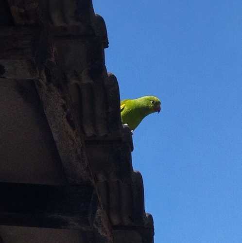
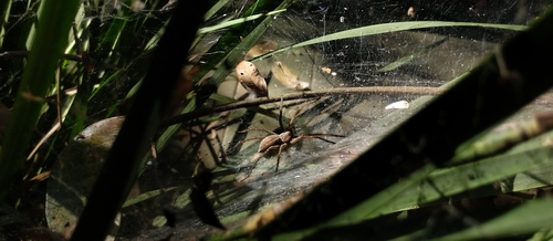
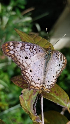
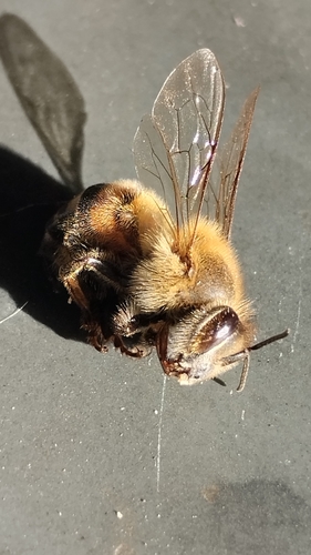
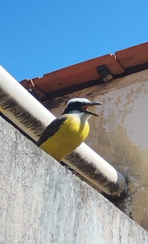
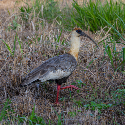
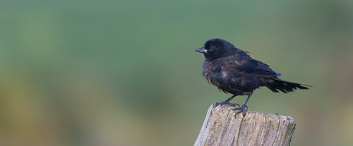
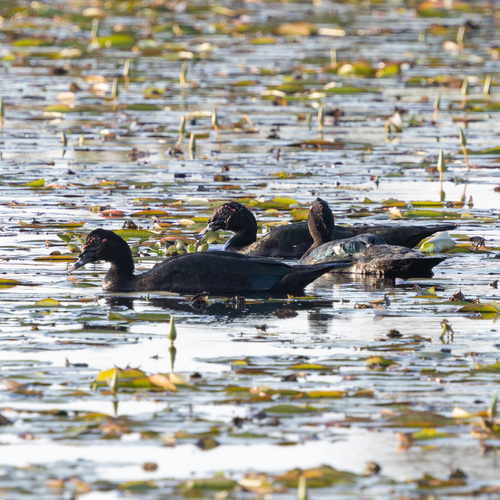
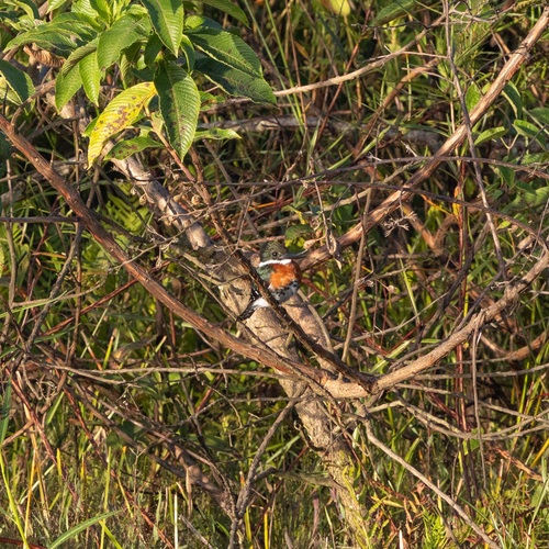
Research-grade observations from iNaturalist (within ~15 mi).
Events
Gallery
Geotagged photos within ~6 miles of Araguari, from Wikimedia Commons contributors.
.jpg) 0.2 mi
0.2 mi 0.4 mi
 0.4 mi
.jpg) 0.4 mi
0.4 mi.jpg) 0.4 mi
0.4 mi 0.4 mi
 0.5 mi
 0.5 mi
.jpg) 0.6 mi
0.6 mi.jpg) 0.6 mi
0.6 mi 0.7 mi
 0.7 mi
 0.8 mi
 0.9 mi
 1 mi
1 mi 1.3 mi
 1.3 mi
 2 mi
2 mi_-_panoramio.jpg) 2.8 mi
2.8 mi 2.8 mi
 4.8 mi
Photos via Wikimedia Commons — see each image page for license & attribution.
Official Identifiers
IBGE — Brazilian Institute of Geography and Statistics
- IBGE code
- 3103504
- UF
- MG
- Mesorregião
- Triângulo Mineiro/Alto Paranaíba
- Microrregião
- Uberlândia
servicodados.ibge.gov.br
Sources
- • Wikipedia
- • Wikimedia Commons
- • Wikidata
- • Open-Meteo Air Quality (CAMS)
- • USGS Earthquake Catalog (global feed)
- • iNaturalist
- • Open-Meteo / sunrise-sunset.org
- • Wikipedia Pageviews API
- • Open Library
- • Wikidata SPARQL (CC0) — population, area, elevation, inception, head of government, Commons image
- • IBGE — Brazilian national statistics, via servicodados.ibge.gov.br (official municipal code, UF, mesorregião, microrregião, region)
- • IBGE — Brazilian Institute of Geography and Statistics — servicodados.ibge.gov.br