Browse / Brazil / Minas Gerais / Araxá
Araxá
Minas Geraiscity

Araxá
Total population
111,691
Founded
1865
Demographic figures from IBGE. Overview below cites Wikipedia and may reference a different year.
City facts
Facts from Wikidata (CC0).
Overview
Araxá is a municipality in the state of Minas Gerais, Brazil. It is located approximately 370 kilometers northwest of the state capital Belo Horizonte, with an area of 1,283 square kilometres (495 sq mi), and 3.45 square kilometres (1.33 sq mi) designated as the urban perimeter. As of 2022 Census, the population is 111,691.
Read more on WikipediaHistory & geography
History
The earliest accounts of the region date back to the second half of the 16th century, when the first encounters with the indigenous people known as the "Araxás" occurred. The Araxás were a native group reportedly led by a warrior named Andaia-Aru, who had separated from their original tribe, known as the "Cataguases". They settled in the extensive region that includes the Serra da Canastra and the Rio Grande, living in relative peace until the mid-17th century, when European settlers arrived, lured by the area's lush forests and abundant mineral waters. Interactions between the European settlers and the native population were characterized by frequent conflicts, culminating in the extermination of the Araxá people by the settlers following a bandeira expedition led by Campo Inácio Correia de Pamplona (1731–1810), under the colonial administration of the time. Subsequently, much of the region came under the control of the Captaincy of Minas Gerais, which served as the local administrative division of colonial Brazil. The first farm owners began to establish themselves in the region around 1770. As settlements grew, the area was designated as a parish in 1791, taking the name "São Domingos de Araxá", in honor of Saint Dominic, the founder of the Order of Preachers. In 1831, São Domingos de Araxá was elevated to the status of a "vila" (town), and it was granted city status on December 19, 1865, due to its local development. The name "Araxá" was officially adopted three years later, in 1868, and has remained in use to this day.
Geography
Araxa is bordered by the neighboring municipalities of Perdizes to the north and northwest, Ibiá to the east, Tapira to the south, and Sacramento to the southwest. The elevation of the city center is . The highest point in the municipality is Serrra da Bocaina at , and the lowest point is the Capivara river at . In 2004 the annual average temperature was , and the annual rainfall was . Araxá experiences a tropical savanna climate (Köppen: Aw) with warm temperatures and distinct wet and dry seasons. The city experiences a wet season from November to April. The dry season extends from May to September, and experiences cooler temperatures than the wet season. |source 2 = National Institute of Meteorology (INMET) (temperature records: 01/01/1948-31/12/1950, 02/03/1971–present) }}
Excerpted from the corresponding Wikipedia article (CC BY-SA).
Geography
Coordinates & boundaries from the US Census TIGER/Line shapefiles.
Climate
Air quality
Walkability
Amenities nearby
Wildlife & biodiversity
Earthquake history
Photos
Sights & places nearby
Notable people from here


People born within ~10 km, from Wikidata (CC0). Click any name for their Wikipedia article.
Nearby places in Minas Gerais
- Argenita17.7 mi away
- Morro da Mesa24.2 mi away
- Perdizinha28.5 mi away
- Colina dos Borges30.4 mi away
- Zelândia33.5 mi away
- Santa Luzia dos Barros34.1 mi away
- Catiara34.7 mi away
- Serra do Salitre37.9 mi away · pop. 11,801
- Salitre de Minas37.9 mi away
- Pedrinópolis42.6 mi away · pop. 3,344
- Santa Juliana43.1 mi away · pop. 15,734
- Guaxima45.3 mi away
Geography & sun
Nearby airports
Public attention
Books about this place
Recent natural events nearby
Ground air-quality sensors
Recently spotted species
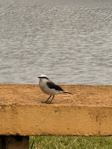
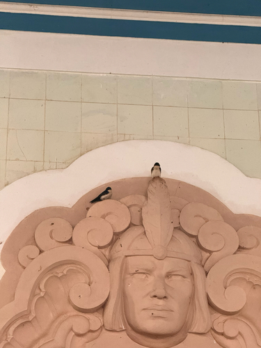
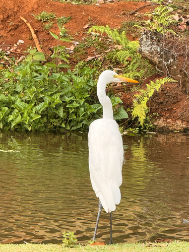
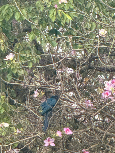
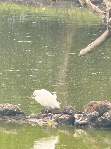
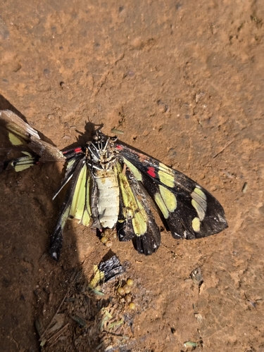
Research-grade observations from iNaturalist (within ~15 mi).
Events
Gallery
Official Identifiers
IBGE — Brazilian Institute of Geography and Statistics
- IBGE code
- 3104007
- UF
- MG
- Mesorregião
- Triângulo Mineiro/Alto Paranaíba
- Microrregião
- Araxá
servicodados.ibge.gov.br
Sources
- • Wikipedia
- • Wikidata
- • iNaturalist
- • Wikidata SPARQL (CC0) — population, area, elevation, inception, head of government, Commons image
- • IBGE — Brazilian national statistics, via servicodados.ibge.gov.br (official municipal code, UF, mesorregião, microrregião, region)
- • IBGE — Brazilian Institute of Geography and Statistics — servicodados.ibge.gov.br