Browse / Brazil / Rio de Janeiro / Armação dos Búzios
Armação dos Búzios
Rio de Janeirotown

Armação dos Búzios
Total population
40,006
Founded
1995
Demographic figures from IBGE. Overview below cites Wikipedia and may reference a different year.
City facts
Facts from Wikidata (CC0).
Overview
Armação dos Búzios, often referred to as just Búzios, is a municipality located in the state of Rio de Janeiro, Brazil. It is 173 km east of the city of Rio de Janeiro, and 24 km southwest of Cabo Frio. By 2020, its population consisted of 34,477 inhabitants and its area of 71 km2. Today, Búzios is a worldwide tourist site.
Read more on WikipediaHistory & geography
History
During the 16th century, the Tupinambá Indians occupied the area, which is now known as Búzios. During the 17th century, the Europeans invaded what was then a small village and as a result, the Tupinambá developed strict relationships with the French pirates and smugglers, who were interested in smuggling pau-brasil (Brazilian reddish wood) and selling African Slaves. Eventually the French were expelled by the Portuguese due to their bloody disputes with the Tupinambás, which resulted in a significant decrease in the Indian population in that region. In the 18th century, the gold trade from Minas Gerais and its exportation to Europe from Rio de Janeiro attracted many ships to the Guanabara Bay. Additionally the increasing number of ships along the city's coast brought close attention to the whale hunting practice that took place in that area. The name "Armação dos Búzios", for instance, comes from the process of separating the meat from the bones. In addition, a beach in Búzios called "Praia dos Ossos" was named after the great amount of whales' bones found along the shore. Another curious fact about this practice at the time was that the city lights were fueled with whale oil, and the Sant'Ana Chapel located on the top of a hill between Praia dos Ossos and Praia da Armação, was built with rocks and whale oil as well. Around 1850 when slave trade was abolished in Brazil, Búzios was able to establish itself as a city that cultivated agricultural and fishing habits, instead of being just a smuggling, slave-trading and whale-hunting site. With time, the once European dominated city, shifted into a community composed by a mix of native descendants, blacks and interracial citizens. In 1940, Antonio Alipio da Silva was the first political representative to initiate a…
Geography
Armação dos Búzios is located in the state of Rio de Janeiro, Brazil, in an area known as Região dos Lagos. The peninsula of 8 kilometers in extension features 23 beaches: Geribá, Tartaruga, João Fernandes, João Fernandinho, Ferradura, Ferradurinha, Azeda, Azedinha, Ossos, Manguinhos, Tucuns, Brava, Amores, Armação, Forno, Foca, Olho de Boi, Caravelas, José Gonçalves, Virgens, Canto, Rasa, Moças. Armação dos Búzios has a tropical climate and temperatures in the southern hemisphere tend to vary between 30 °C during the months of November and February, and around 20 C from May to September. Ocean breezes are common all year round, but are more frequent and stronger during the winter. Most rainfall is seen in Jan, Feb, Mar, Nov and Dec. Armação dos Búzios has dry periods in June and August.
Excerpted from the corresponding Wikipedia article (CC BY-SA).
Geography
Coordinates & boundaries from the US Census TIGER/Line shapefiles.
Climate
Air quality
Walkability
Amenities nearby
Wildlife & biodiversity
Earthquake history
Photos
Sights & places nearby
Notable people from here
Nearby places in Rio de Janeiro
- Comunidade Quilombola da Bauen5.9 mi away
- Comunidade Quilombola da Baía Formosa6.7 mi away
- Pontal do Peró7 mi away
- Tamoios9.6 mi away
- Barra de São João13.6 mi away · pop. 9,135
- Arraial do Cabo16.7 mi away · pop. 30,986
- Viverde I17.2 mi away
- Viverde II17.3 mi away
- Viverde III17.5 mi away
- Iguaba Grande22.4 mi away · pop. 27,920
- Professor Souza23.9 mi away · pop. 1,566
- Iguabinha25.4 mi away
Geography & sun
Elevation, sunrise/sunset and daylight from Open-Meteo. Solar climatology from NASA POWER.
Nearby airports
Public attention
Pageview totals from the Wikimedia Pageviews API.
Books about Armação dos Búzios
Search results from Open Library.
Recent natural events nearby
Ground air-quality sensors
Recently spotted species
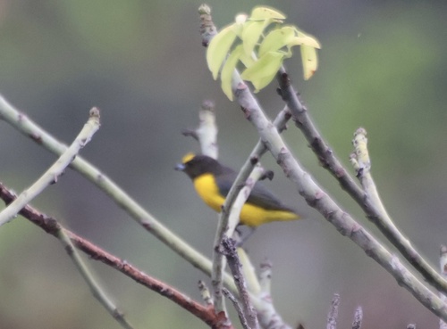
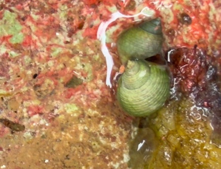
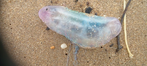
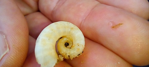
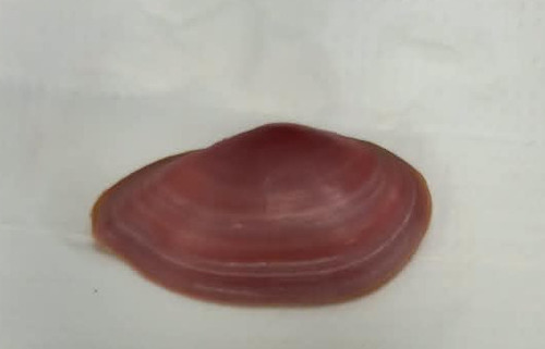
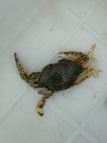
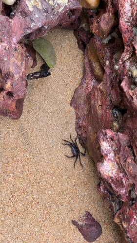
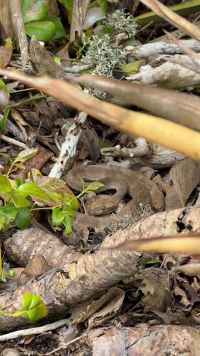
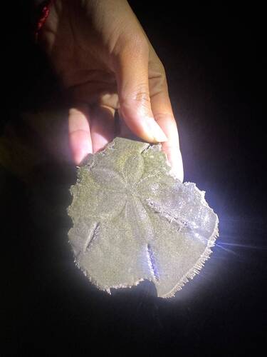
Research-grade observations from iNaturalist (within ~15 mi).
Events
Gallery
Official Identifiers
IBGE — Brazilian Institute of Geography and Statistics
- IBGE code
- 3300233
- UF
- RJ
- Mesorregião
- Baixadas
- Microrregião
- Lagos
servicodados.ibge.gov.br
Sources
- • Wikipedia
- • Wikidata
- • iNaturalist
- • Open-Meteo / sunrise-sunset.org
- • Wikipedia Pageviews API
- • Open Library
- • IBGE — Brazilian national statistics, via servicodados.ibge.gov.br (official municipal code, UF, mesorregião, microrregião, region)
- • IBGE — Brazilian Institute of Geography and Statistics — servicodados.ibge.gov.br