Browse / Brazil / São Paulo / Atibaia
Atibaia
São Paulocity

Atibaia
Total population
158,647
Founded
1864
Demographic figures from IBGE. Overview below cites Wikipedia and may reference a different year.
City facts
Facts from Wikidata (CC0).
Overview
Atibaia is a Brazilian municipality in the state of São Paulo.
Read more on WikipediaHistory & geography
History
In 1665, Jerônimo de Camargo and his expedition found a hill near a river named Tubaia (later called Atibaia River). Jerônimo de Camargo was a Bandeirante explorer.
Geography
Atibaia is located 64 km north-east of São Paulo and 88 km south-east of Campinas. Atibaia has 478 square kilometers of area, 40% of this area is urbanized. The average altitude is 800 meters.
Excerpted from the corresponding Wikipedia article (CC BY-SA).
Geography
Coordinates & boundaries from the US Census TIGER/Line shapefiles.
Climate
Air quality
Walkability
Amenities nearby
Wildlife & biodiversity
Earthquake history
Photos
Sights & places nearby
Notable people from here


People born within ~10 km, from Wikidata (CC0). Click any name for their Wikipedia article.
Nearby places in São Paulo
- Várzea Paulista18.5 mi away · pop. 115,771
- Igaratá26 mi away · pop. 10,605
- Cajamar26.3 mi away · pop. 92,689
- Arcadas33 mi away
- Remedinho34.1 mi away
- Bom Suceso34.8 mi away
- Serra Negra36.1 mi away · pop. 29,894
- São Silvestre de Jacareí38.2 mi away
- Bairro das Palmeiras39.2 mi away
- São Francisco Xavier40.4 mi away · pop. 1,443
- Embu das Artes41.3 mi away · pop. 250,691
- Betel41.9 mi away
Geography & sun
Elevation, sunrise/sunset and daylight from Open-Meteo. Solar climatology from NASA POWER.
Nearby airports
Public attention
Pageview totals from the Wikimedia Pageviews API.
Books about Atibaia
Search results from Open Library.
Recent natural events nearby
Ground air-quality sensors
Recently spotted species
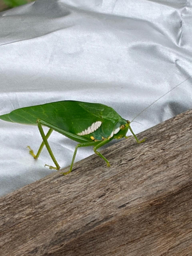
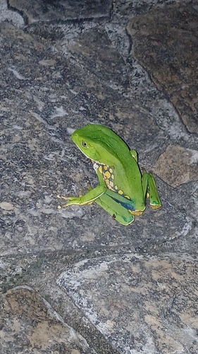
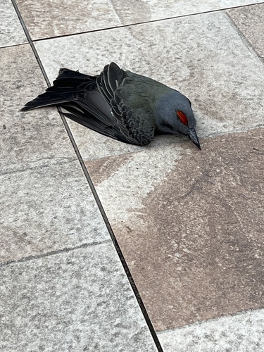
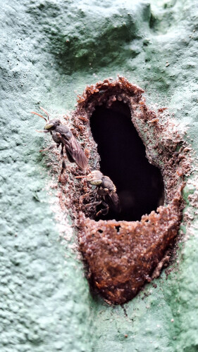
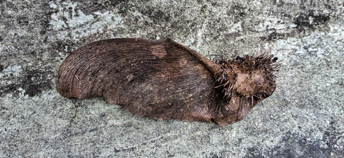
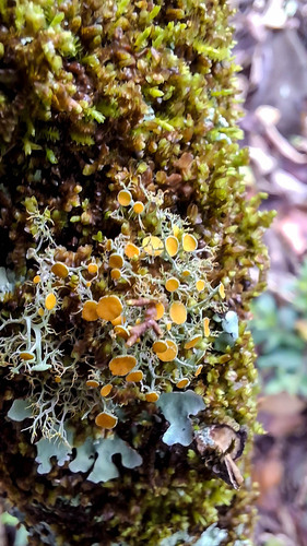
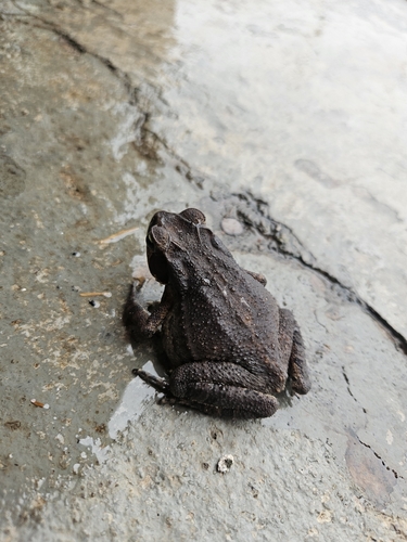
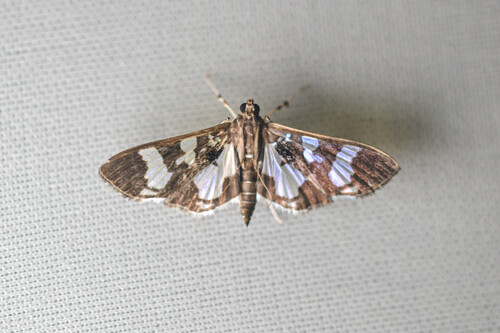
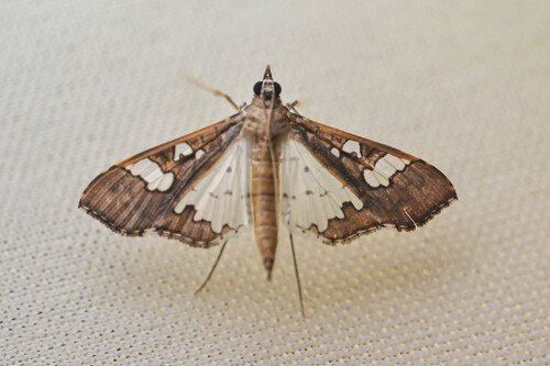
Research-grade observations from iNaturalist (within ~15 mi).
Events
Gallery
Official Identifiers
IBGE — Brazilian Institute of Geography and Statistics
- IBGE code
- 3504107
- UF
- SP
- Mesorregião
- Macro Metropolitana Paulista
- Microrregião
- Bragança Paulista
servicodados.ibge.gov.br
Sources
- • Wikipedia
- • Wikidata
- • iNaturalist
- • Open-Meteo / sunrise-sunset.org
- • Wikipedia Pageviews API
- • Open Library
- • Wikidata SPARQL (CC0) — population, area, elevation, inception, head of government, Commons image
- • IBGE — Brazilian national statistics, via servicodados.ibge.gov.br (official municipal code, UF, mesorregião, microrregião, region)
- • IBGE — Brazilian Institute of Geography and Statistics — servicodados.ibge.gov.br