Browse / Brazil / São Paulo / Bairro Cereja
Bairro Cereja
São Paulohamlet
Demographic figures from IBGE. Overview below cites Wikipedia and may reference a different year.
City facts
Overview
As a hamlet in São Paulo, Brazil, Bairro Cereja occupies its own corner of the country. No reliable population estimate is published for this entry in the open data we rely on. Geographically it lies in the southern hemisphere at a tropical latitude (-21.996°, -50.045°). Solar-resource estimates put the area at about 1,931 kWh/m² of solar irradiance per year with sunshine for roughly 76% of daylight hours. The latitude suggests warm temperatures throughout the year with pronounced wet and dry seasons. Read on for charts and tables covering demographics, climate, hazards, schools, wildlife and other open-data indicators for Bairro Cereja.
Summary composed automatically from structured open data on this page. See our Terms for details.
History & geography
Geography
Coordinates & boundaries from the US Census TIGER/Line shapefiles.
Climate
Air quality
Walkability
Amenities nearby
Wildlife & biodiversity
Most-observed species
- Great KiskadeePitangus sulphuratus (Linnaeus, 1766) · Aves51
- Picazuro PigeonPatagioenas picazuro (Temminck, 1813) · Aves49
- white-eyed conureAratinga leucophthalma (Statius Muller, 1776) · Aves44
- Yellow-chevroned ParakeetBrotogeris chiriri (Vieillot, 1818) · Aves44
- Southern LapwingVanellus chilensis (Molina, 1782) · Aves43
- Smooth-billed AniCrotophaga ani Linnaeus, 1758 · Aves42
- Saffron FinchSicalis flaveola (Linnaeus, 1766) · Aves41
- Black VultureCoragyps atratus (Bechstein, 1793) · Aves40
Citizen-science & research observations from the Global Biodiversity Information Facility (GBIF).
Earthquake history
Most recent
- M 3.5 — 2018-07-2616 km SW of Penápolis, Brazil
Events from the USGS Earthquake Catalog (global) (FDSN Event Web Service).
Photos
Sights & places nearby
Notable people from here
Nearby places in São Paulo
- Novo Cravinhos4.3 mi away
- Bairro Queixada14.4 mi away
- Bairro São Manuel14.7 mi away
- Marco Oito19.9 mi away
- Álvaro de Carvalho21.6 mi away · pop. 4,808
- Matão de Baixo22.9 mi away
- Santa Maria do Gurupá23.4 mi away
- Amadeu Amaral24.3 mi away
- Bairro do Quilômetro Sete26.9 mi away
- São Martinho d'Oeste32.6 mi away
- Bairro Três Pontes35 mi away
- Bairro do Pilar35.7 mi away
Geography & sun
Elevation, sunrise/sunset and daylight from Open-Meteo. Solar climatology from NASA POWER.
Nearby airports
Public attention
Books about this place
Recent natural events nearby
Ground air-quality sensors
Recently spotted species
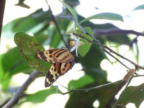
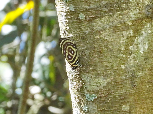
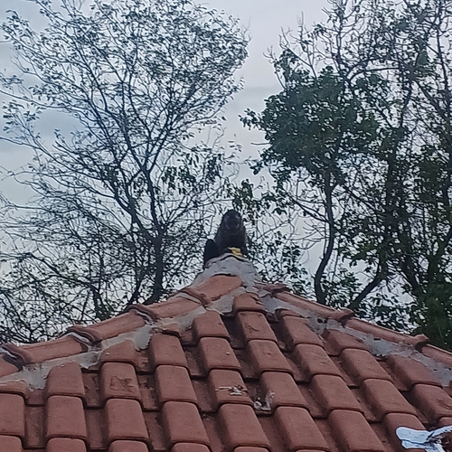
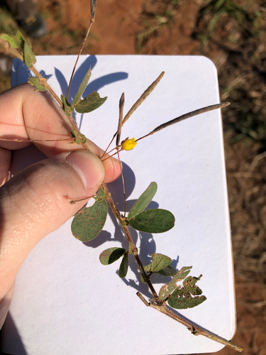
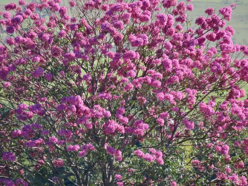
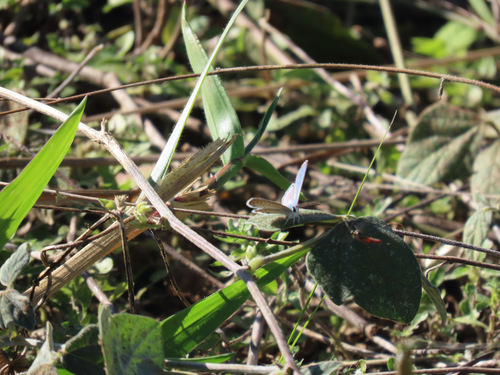
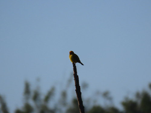
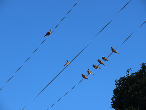
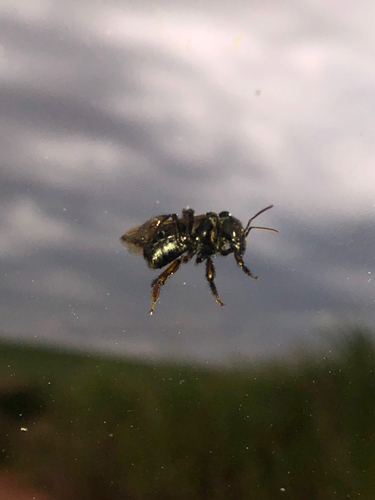
Research-grade observations from iNaturalist (within ~15 mi).
Events
Gallery
Sources
- • Wikidata
- • USGS Earthquake Catalog (global feed)
- • GBIF (Global Biodiversity Information Facility)
- • iNaturalist
- • Open-Meteo / sunrise-sunset.org