Browse / Brazil / Goiás / Barro Alto
Barro Alto
Goiástown
Total population
10,371
Air quality index
Demographic figures from IBGE. Overview below cites Wikipedia and may reference a different year.
City facts
Overview
Barro Alto sits in Goiás, Brazil and is identified as a small town. Located at -14.970°, -48.919°, Barro Alto occupies a tropical portion of the southern hemisphere. It is home to roughly 10,371 residents. Based on its tropical position, residents likely encounter warm temperatures throughout the year with pronounced wet and dry seasons. Solar-resource estimates put the area at about 2,012 kWh/m² of solar irradiance per year with sunshine for roughly 79% of daylight hours. Detailed open-data panels follow, covering demographics, climate, geography, wildlife and nearby settlements.
Summary composed automatically from structured open data on this page. See our Terms for details.
History & geography
Geography
Coordinates & boundaries from the US Census TIGER/Line shapefiles.
Climate
Air quality
Current readings from Open-Meteo Air Quality API (Copernicus CAMS European reanalysis).
Walkability
Amenities nearby
Wildlife & biodiversity
Most-observed species
- White-tipped DoveLeptotila verreauxi Bonaparte, 1855 · Aves144
- Yellow-chevroned ParakeetBrotogeris chiriri (Vieillot, 1818) · Aves135
- Flavescent WarblerMyiothlypis flaveola S.F.Baird, 1865 · Aves120
- Pale-breasted ThrushTurdus leucomelas Vieillot, 1818 · Aves111
- Picazuro PigeonPatagioenas picazuro (Temminck, 1813) · Aves96
- Purple-throated EuphoniaEuphonia chlorotica (Linnaeus, 1766) · Aves86
- Black-capped AntwrenHerpsilochmus atricapillus Pelzeln, 1868 · Aves85
- Rufous-browed PeppershrikeCyclarhis gujanensis (Gmelin, 1789) · Aves72
Citizen-science & research observations from the Global Biodiversity Information Facility (GBIF).
Earthquake history
Events from the USGS Earthquake Catalog (global) (FDSN Event Web Service).
Photos
Sights & places nearby
Notable people from here
People born within ~10 km, from Wikidata (CC0). Click any name for their Wikipedia article.
Nearby places in Goiás
- Santo Antônio da Laguna8.1 mi away
- Souzalândia10.9 mi away
- Povoado da Placa11.9 mi away
- Lavrinha23.7 mi away
- Vila Taveira23.9 mi away
- Pedra Preta24.1 mi away
- Cafelândia25.4 mi away
- Barreiro25.5 mi away
- Juscelândia26.3 mi away
- Goianésia27.1 mi away · pop. 73,707
- Natinópolis32.3 mi away
- Vila Propício33.7 mi away · pop. 5,815
Geography & sun
Elevation, sunrise/sunset and daylight from Open-Meteo. Solar climatology from NASA POWER.
Nearby airports
Public attention
Books about Barro Alto

Search results from Open Library.
Recent natural events nearby
Ground air-quality sensors
Recently spotted species
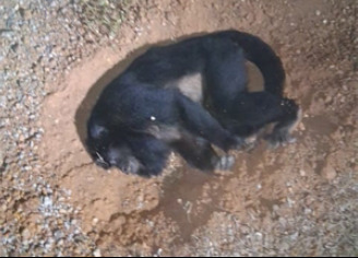
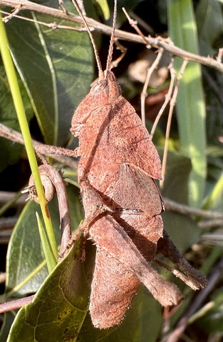
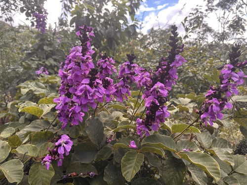
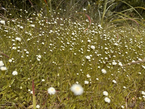
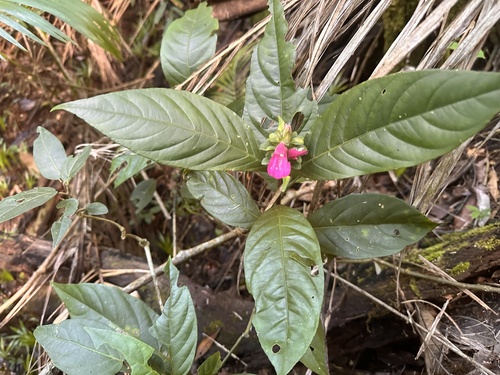
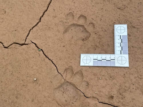
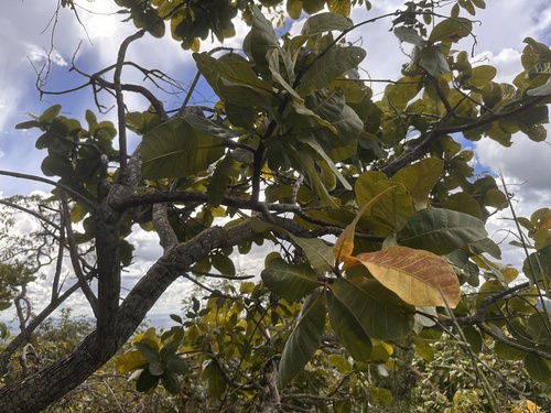
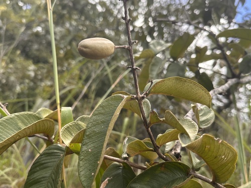
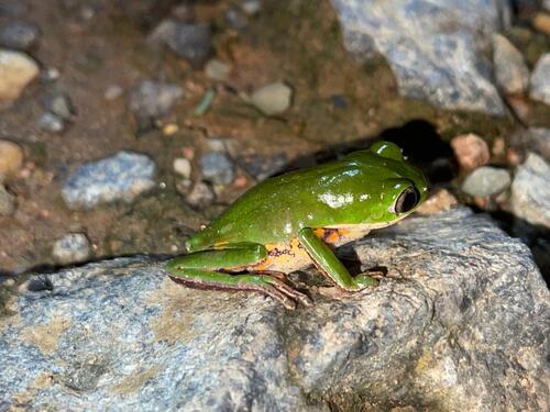
Research-grade observations from iNaturalist (within ~15 mi).
Events
Gallery
Official Identifiers
IBGE — Brazilian Institute of Geography and Statistics
- IBGE code
- 5203203
- UF
- GO
- Mesorregião
- Centro Goiano
- Microrregião
- Ceres
servicodados.ibge.gov.br
Sources
- • Wikidata
- • Open-Meteo Air Quality (CAMS)
- • USGS Earthquake Catalog (global feed)
- • GBIF (Global Biodiversity Information Facility)
- • iNaturalist
- • Open-Meteo / sunrise-sunset.org
- • Open Library
- • IBGE — Brazilian national statistics, via servicodados.ibge.gov.br (official municipal code, UF, mesorregião, microrregião, region)
- • IBGE — Brazilian Institute of Geography and Statistics — servicodados.ibge.gov.br