Browse / Brazil / Alagoas / Belém
Belém
Alagoasvillage
Total population
4,722
Founded
1616
Demographic figures from IBGE. Overview below cites Wikipedia and may reference a different year.
City facts
Sister cities
Facts from Wikidata (CC0).
Overview
Belém is a village located in Alagoas, Brazil. Coordinates of -9.572°, -36.493° situate Belém in the equatorial zone of the southern hemisphere. Public datasets list a population of roughly 4,722. Its latitude implies a climate characterised by hot and humid year-round with little seasonal temperature variation. Solar-resource estimates put the area at about 2,056 kWh/m² of solar irradiance per year with sunshine for roughly 80% of daylight hours. Open-data panels below dive into population trends, climate normals, environmental indicators and nearby places.
Summary composed automatically from structured open data on this page. See our Terms for details.
History & geography
History
In 1615, Portuguese captain-general Francisco Caldeira Castelo Branco of the captaincy of Bahia commanded a military expedition sent by the Governor General of Brazil to check the trading excursions of foreigners (French, Dutch, English) up the river (Amazon) from the Cabo do Norte in Grão Pará. On January 12, 1616, he anchored in what is now known as Guajará Bay, formed by the confluence of the Para and Guamá Rivers, called by the Tupinambás, "Guaçu Paraná". Caldeira mistook the bay for the main channel, and thirty leagues (178 km) upstream, he built a wooden fort, covered with straw, which he called "Presépio" (nativity scene), now known as "Forte do Castelo". The colony formed by the fort was given the name Feliz Lusitânia, "Fortunate Lusitania". It was the embryo of the future city of Belém. The fort failed to suppress Dutch and French trading, but did ward off colonization. Feliz Lusitânia was later called Nossa Senhora de Belém do Grão Pará (Our Lady of Bethlehem of Grao-Para) and Santa Maria de Belém (St. Mary of Bethlehem). Belém was given city status in 1655 and was made capital of the State when Pará state was split off from Maranhão in 1772. The early decades of the 19th century were marked by political instability. Uprisings and internecine strife finally ended in 1836, after considerable loss of life. The sugar trade in the Belém region was important up to the end of the 17th century. Thereafter the city's economic importance alternately rose and fell. Cattle ranching supplanted sugar until the 18th century, when cultivation of rice, cotton and coffee became profitable. With the settlement of southern Brazil, where such crops could be produced more efficiently, Belém declined again. The city subsequently became the main exporting centre of the…
Geography
The municipality includes the islands of Mosqueiro, fringed by 14 freshwater beaches, and Caratateua which receive a large number of visitors in summertime. In addition to these and also near Belém, is the island of Tatuoca which is the location of one of the seven geophysical stations in the world, and the only station in Latin America. Belém has a tropical rainforest climate (Köppen: Af) more subject to the Intertropical Convergence Zone than the maritime trade winds, and with no cyclones, that is a true equatorial climate. In all 12 months of the year, the city on average sees more than 60 mm of rainfall, so the city has no true dry season month. However, Belém features noticeably wetter and drier seasons. The wetter season spans from December through May, while the drier season covers the remaining six months of the year. Like many cities with a tropical rainforest climate, average temperatures vary little throughout the course of the year, generally hovering around 26.5 degrees Celsius. Due to its location in the Amazon, tropical rainforest is the natural vegetation in and around the city. The Amazon represents more than half the planet's remaining rainforests and comprises the largest and most species-rich tract of tropical rainforest in the world. Wet tropical forests are the most species-rich biome, and tropical forests in the Americas are consistently more species rich than the wet forests in Africa and Asia. As the largest tract of tropical rainforest in the Americas, the Amazonian rainforests have unparalleled biodiversity. More than one-third of all species in the world live in the Amazon Rainforest.
Excerpted from the corresponding Wikipedia article (CC BY-SA).
Geography
Coordinates & boundaries from the US Census TIGER/Line shapefiles.
Climate
Air quality
Walkability
Amenities nearby
Wildlife & biodiversity
Most-observed species
- Wattled JacanaJacana jacana (Linnaeus, 1766) · Aves28
- Tropical KingbirdTyrannus melancholicus Vieillot, 1819 · Aves26
- Eurasian MoorhenGallinula chloropus (Linnaeus, 1758) · Aves25
- Southern LapwingVanellus chilensis (Molina, 1782) · Aves25
- Ruddy Ground-DoveColumbina talpacoti (Temminck, 1810) · Aves23
- Common Tody-FlycatcherTodirostrum cinereum (Linnaeus, 1766) · Aves20
- Masked Water-TyrantFluvicola nengeta (Linnaeus, 1766) · Aves20
- Caatinga CacholotePseudoseisura cristata (Spix, 1824) · Aves19
Citizen-science & research observations from the Global Biodiversity Information Facility (GBIF).
Earthquake history
Events from the USGS Earthquake Catalog (global) (FDSN Event Web Service).
Photos
Sights & places nearby
Notable people from here

People born within ~10 km, from Wikidata (CC0). Click any name for their Wikipedia article.
Nearby places in Alagoas
- Tanque d'Arca4.9 mi away · pop. 5,796
- Novo Rio10.3 mi away
- Povoado Santa Rosa11.8 mi away
- Sa. da Manduca12 mi away
- Maribondo12.7 mi away · pop. 13,679
- Lagoa do Rancho13.7 mi away
- Caraibinha14.6 mi away
- Pindoba15.3 mi away · pop. 2,731
- Tangil16.3 mi away
- Paulo Jacinto16.5 mi away · pop. 6,576
- José da Rocha16.8 mi away
- Quebrangulo17.3 mi away · pop. 11,080
Geography & sun
Elevation, sunrise/sunset and daylight from Open-Meteo. Solar climatology from NASA POWER.
Nearby airports
Public attention
Pageview totals from the Wikimedia Pageviews API.
Books about this place
Recent natural events nearby
Ground air-quality sensors
Recently spotted species
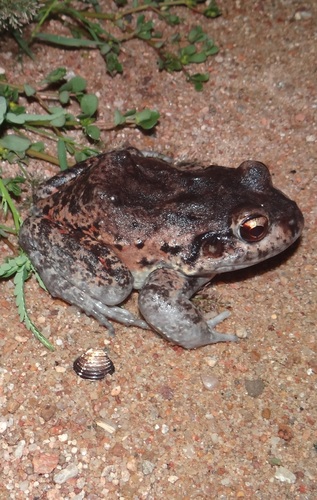
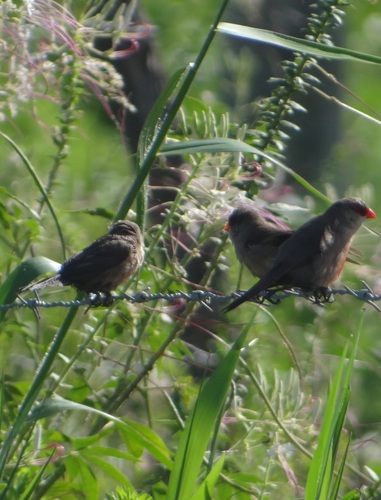
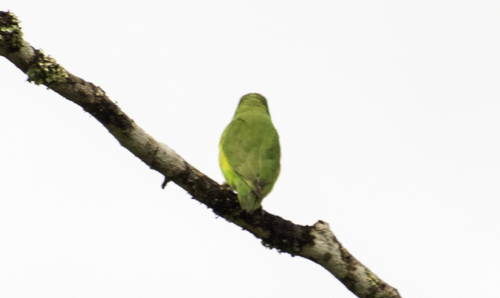
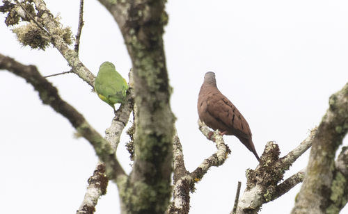
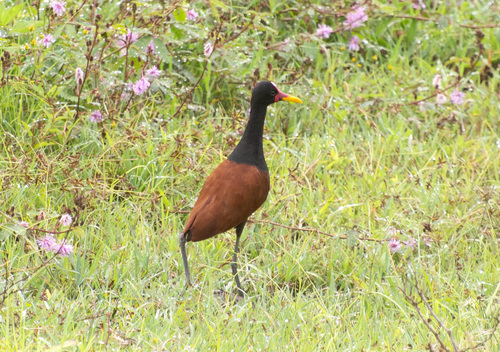
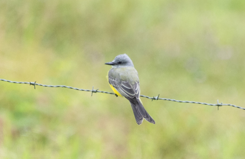
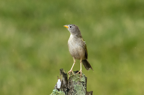
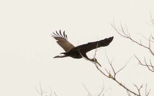
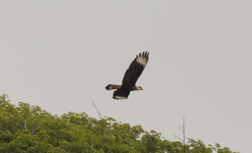
Research-grade observations from iNaturalist (within ~15 mi).
Events
Gallery
Geotagged photos within ~6 miles of Belém, from Wikimedia Commons contributors.

Photos via Wikimedia Commons — see each image page for license & attribution.
Official Identifiers
IBGE — Brazilian Institute of Geography and Statistics
- IBGE code
- 2700805
- UF
- AL
- Mesorregião
- Agreste Alagoano
- Microrregião
- Palmeira dos Índios
servicodados.ibge.gov.br
Sources
- • Wikipedia
- • Wikimedia Commons
- • Wikidata
- • USGS Earthquake Catalog (global feed)
- • GBIF (Global Biodiversity Information Facility)
- • iNaturalist
- • Open-Meteo / sunrise-sunset.org
- • Wikipedia Pageviews API
- • IBGE — Brazilian national statistics, via servicodados.ibge.gov.br (official municipal code, UF, mesorregião, microrregião, region)
- • IBGE — Brazilian Institute of Geography and Statistics — servicodados.ibge.gov.br