Browse / Brazil / Minas Gerais / Belo Horizonte
Belo Horizonte
Minas Geraiscity

Belo Horizonte
Total population
2,315,560
Founded
1701
Demographic figures from IBGE. Overview below cites Wikipedia and may reference a different year.
City facts
Facts from Wikidata (CC0).
Overview
Belo Horizonte is the sixth-largest city in Brazil, with a population of around 2.4 million, and the third largest metropolitan area, containing a population of 6 million. It is the 13th-largest city in South America and the 18th-largest in the Americas. The metropolis is anchor to the Belo Horizonte metropolitan area, ranked as the third most populous metropolitan area in Brazil and the 17th most populous in the Americas. Belo Horizonte is the capital of the state of Minas Gerais, Brazil's second-most populous state. It is the first planned modern city in Brazil.
Read more on WikipediaHistory & geography
History
The metropolis was once a small village, founded by , a bandeirante explorer from São Paulo. The explorer settled in the region in 1701, leading a gold rush expedition. He then established a farm called "Curral d'el Rey," archaic Portuguese for the "King's Corral". The farm's wealth and success encouraged people from surrounding places to move into the region, and Curral del Rey became a village surrounded by farms. Another important factor contributing to the growth of the village was people migrating from the São Francisco River region, who had to pass through Curral d'el Rey to reach southern parts of Brazil. Travelers usually visited a small wooden chapel, where they prayed for a safe trip, so the chapel was named Capela da Nossa Senhora da Boa Viagem, which means "Chapel of Our Lady of the Good Journey." After the construction of Belo Horizonte, the old baroque chapel was replaced by a neo-Gothic church that became the city's cathedral. The previous capital of Minas Gerais, Ouro Preto (meaning "black gold," due to dark rocks with gold inside found on the region), originally called "Vila Rica" ("wealthy village"), was a symbol of both the monarchic Brazilian Empire and the period when most of Brazilian income was from the mining industry. That never pleased the members of the Inconfidência Mineira, republican intellectuals who conspired against the Portuguese dominion of Brazil. In 1889 Brazil became a republic, and it was agreed that a new state capital, in tune with a modern and prosperous Minas Gerais, had to be established. In 1893 due to the climatic and topographic conditions, Curral Del Rey was selected by Minas Gerais governor Afonso Pena among other cities as the location for the new economic and cultural center of the state, under the new name of…
Geography
The term "Grande BH" ("Greater Belo Horizonte") denotes any of various definitions for the metropolitan area of Belo Horizonte. The legally defined Metropolitan Region of Belo Horizonte consists of 34 municipalities in total, and a population of around six million inhabitants (, according to Brazil's National Institute of Geography and Statistics (IBGE)). The intense process of urbanization that is taking place in the metropolitan region has made some of the political boundaries between municipalities in the region obsolete. The city is now composed of a relatively contiguous urban area, centred on Belo Horizonte, which extends out into municipalities such as Contagem, Betim, Nova Lima, Raposos, Ribeirão das Neves, Ibirité, Santa Luzia and Sabará, among others. The municipality is bounded to the north by Vespasiano, to the north east by Santa Luzia, by Sabará to the east, by Nova Lima to the southeast, Brumadinho to the south and Ribeirão das Neves, Contagem and Ibirité to the west. According to the current geographic classification by IBGE, the municipality belongs to the Immediate Geographic Region of Belo Horizonte, in the Intermediate Geographic Region of Belo Horizonte. Belo Horizonte lies on a region of contact between different geological series of the Proterozoic. The geology largely comprises crystalline rocks, which give rise to the varied morphology of the landscape. It is located in a large geological unit known as the craton of São Francisco, referring to extensive crustal nucleus of central-eastern Brazil, tectonically stable at the end of the Paleoproterozoic and bordering areas that suffered the regeneration at the Neoproterozoic. The archean rocks members of Belo Horizonte complex and supracrustal sequences of the Paleoproterozoic is predominant.…
Excerpted from the corresponding Wikipedia article (CC BY-SA).
Geography
Coordinates & boundaries from the US Census TIGER/Line shapefiles.
Climate
Air quality
Walkability
Amenities nearby
Wildlife & biodiversity
Most-observed species
- Great KiskadeePitangus sulphuratus (Linnaeus, 1766) · Aves3,869
- Picazuro PigeonPatagioenas picazuro (Temminck, 1813) · Aves3,550
- BananaquitCoereba flaveola (Linnaeus, 1758) · Aves3,091
- Ruddy Ground-DoveColumbina talpacoti (Temminck, 1810) · Aves2,648
- Pale-breasted ThrushTurdus leucomelas Vieillot, 1818 · Aves2,621
- white-eyed conureAratinga leucophthalma (Statius Muller, 1776) · Aves2,590
- Yellow-chevroned ParakeetBrotogeris chiriri (Vieillot, 1818) · Aves2,556
- Sayaca TanagerThraupis sayaca (Linnaeus, 1766) · Aves2,522
Citizen-science & research observations from the Global Biodiversity Information Facility (GBIF).
Earthquake history
Events from the USGS Earthquake Catalog (global) (FDSN Event Web Service).
Photos
Sights & places nearby
Notable people from here


People born within ~10 km, from Wikidata (CC0). Click any name for their Wikipedia article.
Nearby places in Minas Gerais
- Parque Riachuelo2.3 mi away
- Parque Duval de Barros8.6 mi away
- Raposos9.7 mi away · pop. 16,279
- Justinópolis9.8 mi away
- Sarzedo15.1 mi away · pop. 36,844
- Vera Cruz de Minas17.1 mi away
- Mário Campos18 mi away · pop. 15,900
- Penedia20 mi away
- Igarapé25.3 mi away · pop. 45,847
- Barra Feliz31.6 mi away
- Brumal32.2 mi away
- Itatiaiuçu36.3 mi away · pop. 12,966
Geography & sun
Elevation, sunrise/sunset and daylight from Open-Meteo. Solar climatology from NASA POWER.
Nearby airports
Public attention
Pageview totals from the Wikimedia Pageviews API.
Books about Belo Horizonte

Search results from Open Library.
Recent natural events nearby
Ground air-quality sensors
Recently spotted species
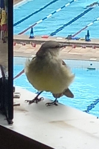
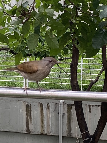
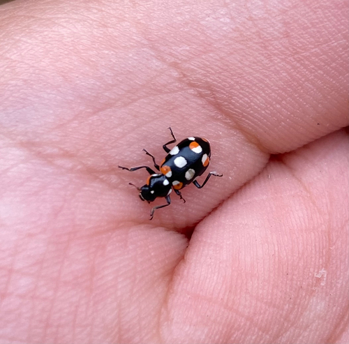
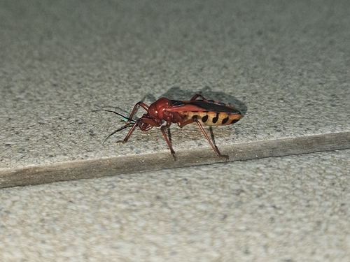
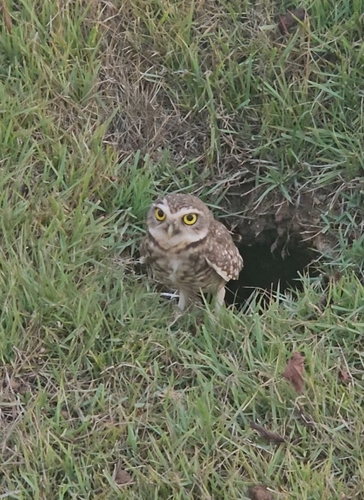
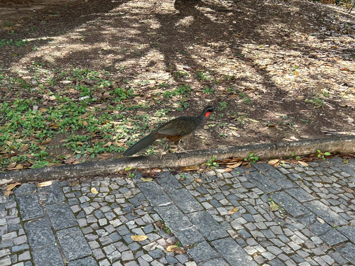
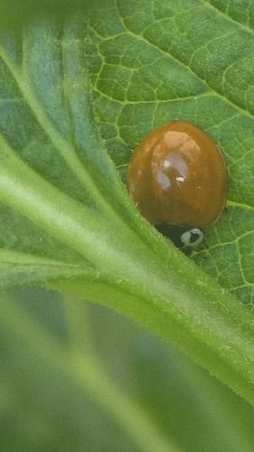
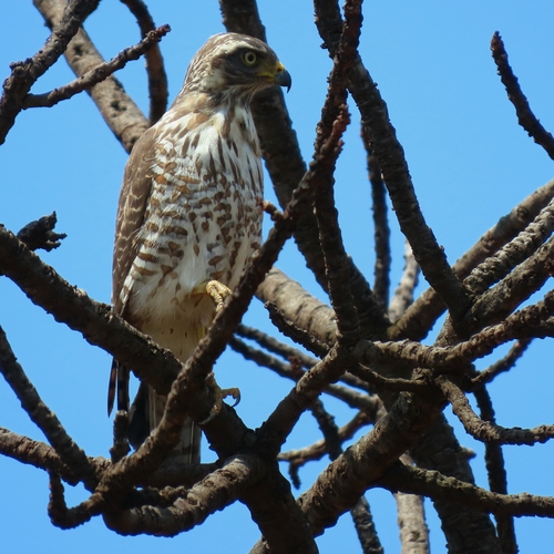
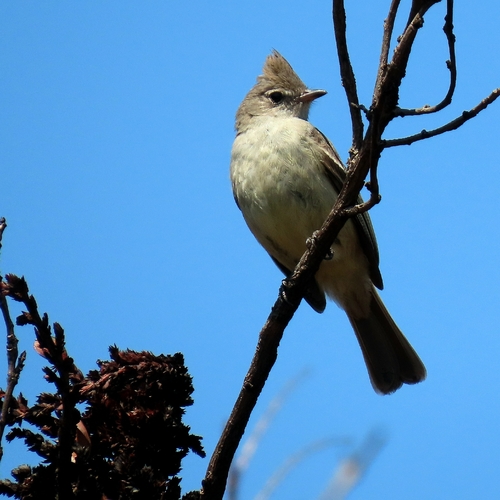
Research-grade observations from iNaturalist (within ~15 mi).
Events
Notable, recurring, and historical events associated with Belo Horizonte, sourced from Wikidata.
Source: Wikidata (CC0).
Gallery
Geotagged photos within ~6 miles of Belo Horizonte, from Wikimedia Commons contributors.


.jpg)
.jpg)


.jpg)
.jpg)
.jpg)
.jpg)


Photos via Wikimedia Commons — see each image page for license & attribution.
Official Identifiers
IBGE — Brazilian Institute of Geography and Statistics
- IBGE code
- 3106200
- UF
- MG
- Mesorregião
- Metropolitana de Belo Horizonte
- Microrregião
- Belo Horizonte
servicodados.ibge.gov.br
Sources
- • Wikipedia
- • Wikimedia Commons
- • Wikidata
- • USGS Earthquake Catalog (global feed)
- • GBIF (Global Biodiversity Information Facility)
- • iNaturalist
- • Open-Meteo / sunrise-sunset.org
- • Wikipedia Pageviews API
- • Open Library
- • Wikidata SPARQL (CC0) — population, area, elevation, inception, head of government, Commons image
- • IBGE — Brazilian national statistics, via servicodados.ibge.gov.br (official municipal code, UF, mesorregião, microrregião, region)
- • IBGE — Brazilian Institute of Geography and Statistics — servicodados.ibge.gov.br