Browse / Brazil / Acre / Brasiléia
Brasiléia
Acretown

Brasiléia
Total population
26,000
Demographic figures from IBGE. Overview below cites Wikipedia and may reference a different year.
City facts
Overview
Brasiléia is a Brazilian municipality located in the northern state of Acre. Its population in 2020 was estimated at 26,702 inhabitants. Its area is 336,189 km2. Located 237 km south of Rio Branco on the border with Bolivia, Brasiléia borders the municipalities Epitaciolândia, Assis Brasil, Sena Madureira and Xapuri.
Read more on WikipediaHistory & geography
History
Brasiléia originated from a small strip of land from an old rubber plantation called Carmen, on July 3, 1910, using the name of Brasilia. In 1943 the town's name was changed since it had the same name as the new federal capital. The current name is derived from a portmanteau of Brazil and hiléia (forest). In 1992 the town divided its area, with the entire area and population located on the right bank of the Rio Acre originating the city of Epitaciolândia.
Geography
The Xapuri and Acre rivers cross the municipality's territory, with the Xapuri river marking the border with the Republic of Bolivia. In the early decades of the twentieth century the region experienced the boom of Brazilian nuts and rubber extraction, which were transported on the river Acre on cargo ships known as "chata". Today goods are transported on the fully paved highway BR-317 linking with the state capital, Rio Branco. The municipality contains part of the Chico Mendes Extractive Reserve, a sustainable use environmental unit created in 1990.
Excerpted from the corresponding Wikipedia article (CC BY-SA).
Geography
Coordinates & boundaries from the US Census TIGER/Line shapefiles.
Climate
Air quality
Walkability
Amenities nearby
Wildlife & biodiversity
Most-observed species
- Blue-gray TanagerThraupis episcopus (Linnaeus, 1766) · Aves255
- Tropical KingbirdTyrannus melancholicus Vieillot, 1819 · Aves186
- Southern House-WrenTroglodytes musculus J.F.Naumann, 1823 · Aves162
- Silver-beaked TanagerRamphocelus carbo (Pallas, 1764) · Aves157
- Palm TanagerThraupis palmarum (Wied-Neuwied, 1821) · Aves150
- Dusky-headed ParakeetAratinga weddellii (Deville, 1851) · Aves143
- Ruddy Ground-DoveColumbina talpacoti (Temminck, 1810) · Aves137
- Black VultureCoragyps atratus (Bechstein, 1793) · Aves134
Citizen-science & research observations from the Global Biodiversity Information Facility (GBIF).
Earthquake history
Events from the USGS Earthquake Catalog (global) (FDSN Event Web Service).
Photos
Sights & places nearby
Notable people from here
Nearby places in Acre
Geography & sun
Elevation, sunrise/sunset and daylight from Open-Meteo. Solar climatology from NASA POWER.
Nearby airports
Public attention
Pageview totals from the Wikimedia Pageviews API.
Books about this place
Recent natural events nearby
Ground air-quality sensors
Recently spotted species
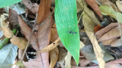
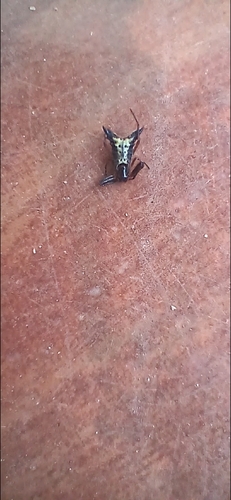
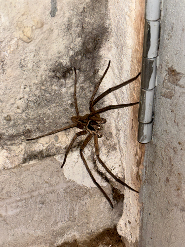
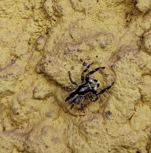
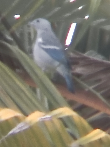
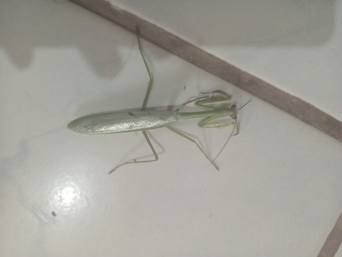
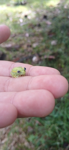
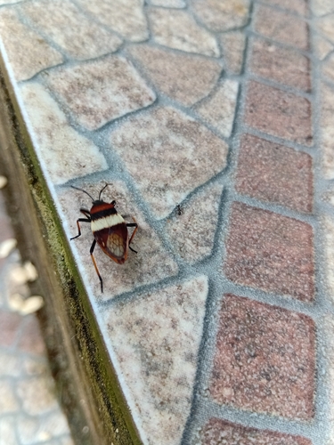
Research-grade observations from iNaturalist (within ~15 mi).
Events
Gallery
Official Identifiers
IBGE — Brazilian Institute of Geography and Statistics
- IBGE code
- 1200104
- UF
- AC
- Mesorregião
- Vale do Acre
- Microrregião
- Brasiléia
servicodados.ibge.gov.br
Sources
- • Wikipedia
- • USGS Earthquake Catalog (global feed)
- • GBIF (Global Biodiversity Information Facility)
- • iNaturalist
- • Open-Meteo / sunrise-sunset.org
- • Wikipedia Pageviews API
- • IBGE — Brazilian national statistics, via servicodados.ibge.gov.br (official municipal code, UF, mesorregião, microrregião, region)
- • IBGE — Brazilian Institute of Geography and Statistics — servicodados.ibge.gov.br