Browse / Brazil / Minas Gerais / Braúnas
Braúnas
Minas Geraisvillage

Braúnas
Total population
4,441
Demographic figures from IBGE. Overview below cites Wikipedia and may reference a different year.
City facts
Facts from Wikidata (CC0).
Overview
Braúnas is a municipality in the state of Minas Gerais in the Southeast region of Brazil.
Read more on WikipediaHistory & geography
Geography
Coordinates & boundaries from the US Census TIGER/Line shapefiles.
Climate
10-year averages from ERA5 reanalysis (Open-Meteo).
Air quality
Walkability
Amenities nearby
Wildlife & biodiversity
Most-observed species
- Boat-billed FlycatcherMegarynchus pitangua (Linnaeus, 1766) · Aves8
- Moustached WrenPheugopedius genibarbis (Swainson, 1838) · Aves7
- Great KiskadeePitangus sulphuratus (Linnaeus, 1766) · Aves6
- Yellow-bellied ElaeniaElaenia flavogaster (Thunberg, 1822) · Aves6
- Southern House-WrenTroglodytes musculus J.F.Naumann, 1823 · Aves6
- Rufous-tailed JacamarGalbula ruficauda Cuvier, 1816 · Aves5
- Flavescent WarblerMyiothlypis flaveola S.F.Baird, 1865 · Aves5
- White-barred PiculetPicumnus cirratus Temminck, 1825 · Aves5
Citizen-science & research observations from the Global Biodiversity Information Facility (GBIF).
Earthquake history
Events from the USGS Earthquake Catalog (global) (FDSN Event Web Service).
Photos
Sights & places nearby
Notable people from here


People born within ~10 km, from Wikidata (CC0). Click any name for their Wikipedia article.
Nearby places in Minas Gerais
- Farias7.7 mi away
- Sapucaia de Guanhães11.4 mi away
- Santo Antônio da Fortaleza14 mi away
- Cubas16.9 mi away
- Belo Oriente19.2 mi away · pop. 23,928
- Borba Gato19.5 mi away
- Conceição da Brejaúba20.3 mi away
- Naque-Nanuque21.1 mi away
- São Sebastião de Braúnas21.7 mi away
- Gama21.7 mi away
- Esmeraldas de Ferros21.8 mi away
- Felicina21.9 mi away
Geography & sun
Elevation, sunrise/sunset and daylight from Open-Meteo. Solar climatology from NASA POWER.
Nearby airports
Public attention
Pageview totals from the Wikimedia Pageviews API.
Books about Braúnas
Search results from Open Library.
Recent natural events nearby
Ground air-quality sensors
Recently spotted species
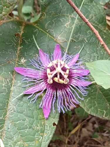
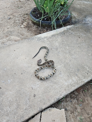
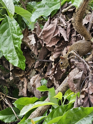
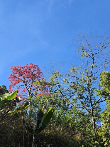
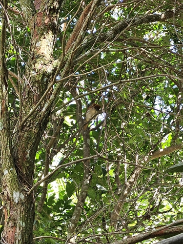
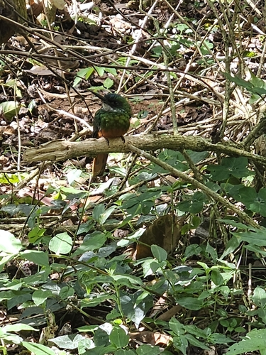
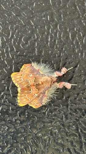
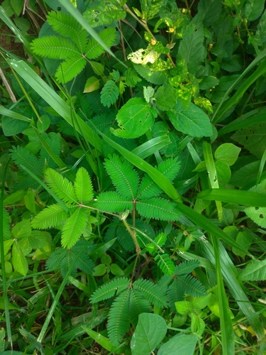
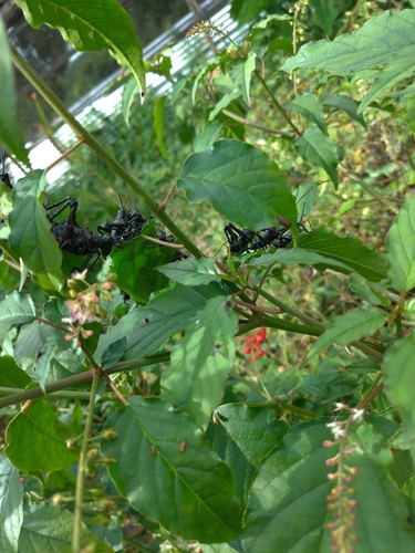
Research-grade observations from iNaturalist (within ~15 mi).
Events
Gallery
Official Identifiers
IBGE — Brazilian Institute of Geography and Statistics
- IBGE code
- 3108800
- UF
- MG
- Mesorregião
- Vale do Rio Doce
- Microrregião
- Guanhães
servicodados.ibge.gov.br
Sources
- • Wikipedia
- • Open-Meteo (ERA5 reanalysis)
- • Wikidata
- • USGS Earthquake Catalog (global feed)
- • GBIF (Global Biodiversity Information Facility)
- • iNaturalist
- • Open-Meteo / sunrise-sunset.org
- • Wikipedia Pageviews API
- • Open Library
- • IBGE — Brazilian national statistics, via servicodados.ibge.gov.br (official municipal code, UF, mesorregião, microrregião, region)
- • IBGE — Brazilian Institute of Geography and Statistics — servicodados.ibge.gov.br