Browse / Brazil / São Paulo / Brotas
Brotas
São Paulotown

Brotas
Total population
23,898
Founded
1839
Air quality index
Demographic figures from IBGE. Overview below cites Wikipedia and may reference a different year.
City facts
Facts from Wikidata (CC0).
Overview
Brotas is a Brazilian municipality located in the state of São Paulo. The population is 24.423 in an area of 1101 km2. The town is known locally for its coffee, on which its economy relies.
Read more on WikipediaHistory & geography
History
The city's history started in 1839 when a chapel was built which originated a settlement around it. Brotas became a district of Araraquara in 1841, then it became a district of Rio Claro in 1853. On August 22, 1859, the district was promoted to a municipality. The municipality experienced its greater development era during the coffee farming expansion which occurred between the 1920s and the 1930s. During this era the city received a large number of Italian immigrants. Due to the coffee agriculture decline, a large number of Brotas' citizens migrated to larger cities. The municipality contains 44% of the Itirapina Ecological Station, created in 1984.
Excerpted from the corresponding Wikipedia article (CC BY-SA).
Geography
Coordinates & boundaries from the US Census TIGER/Line shapefiles.
Climate
Air quality
Current readings from Open-Meteo Air Quality API (Copernicus CAMS European reanalysis).
Walkability
Amenities nearby
Wildlife & biodiversity
Most-observed species
- Great KiskadeePitangus sulphuratus (Linnaeus, 1766) · Aves126
- Eared DoveZenaida auriculata (Des Murs, 1847) · Aves125
- House SparrowPasser domesticus (Linnaeus, 1758) · Aves117
- Picazuro PigeonPatagioenas picazuro (Temminck, 1813) · Aves113
- Yellow-chevroned ParakeetBrotogeris chiriri (Vieillot, 1818) · Aves111
- white-eyed conureAratinga leucophthalma (Statius Muller, 1776) · Aves108
- Sayaca TanagerThraupis sayaca (Linnaeus, 1766) · Aves102
- Pale-breasted ThrushTurdus leucomelas Vieillot, 1818 · Aves98
Citizen-science & research observations from the Global Biodiversity Information Facility (GBIF).
Earthquake history
Events from the USGS Earthquake Catalog (global) (FDSN Event Web Service).
Photos
Sights & places nearby
Notable people from here


People born within ~10 km, from Wikidata (CC0). Click any name for their Wikipedia article.
Nearby places in São Paulo
- Torrinha10.5 mi away · pop. 9,335
- Patrimônio de São Sebastião da Serra13.2 mi away
- Itaqueri da Serra14.1 mi away
- Guarapuã16.9 mi away
- Santa Maria da Serra19.8 mi away · pop. 5,243
- Trabiju21.4 mi away · pop. 1,682
- Mineiros do Tietê22.5 mi away · pop. 11,230
- Guarapiranga22.7 mi away
- Boa Esperança do Sul26.3 mi away · pop. 12,978
- Bocaina27.1 mi away · pop. 11,259
- Charqueada27.3 mi away · pop. 15,535
- acampark28.9 mi away
Geography & sun
Elevation, sunrise/sunset and daylight from Open-Meteo. Solar climatology from NASA POWER.
Nearby airports
Public attention
Pageview totals from the Wikimedia Pageviews API.
Books about Brotas





Search results from Open Library.
Recent natural events nearby
Ground air-quality sensors
Recently spotted species
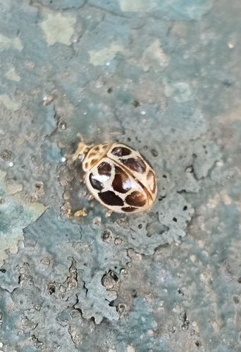
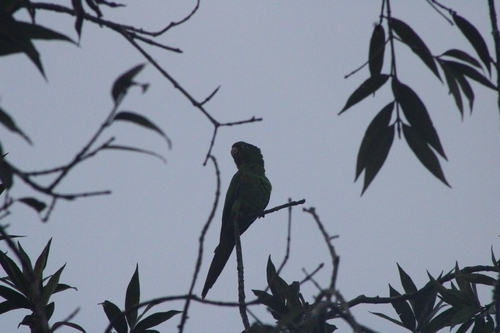
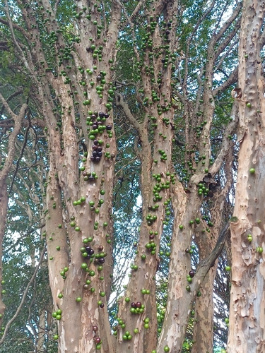
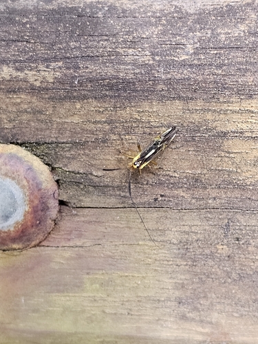
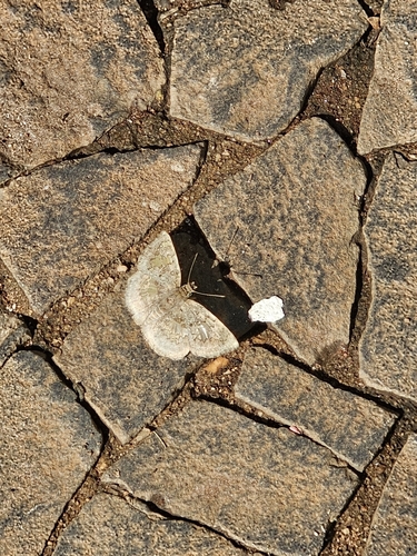
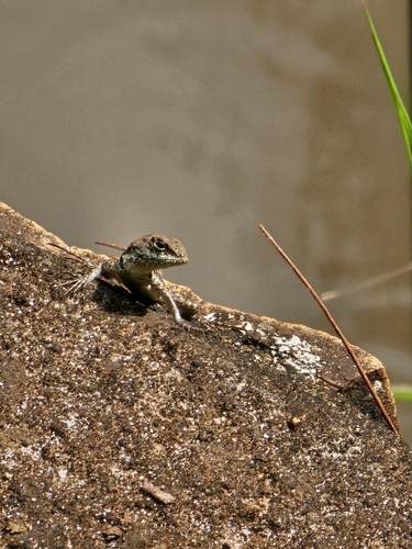
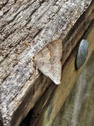
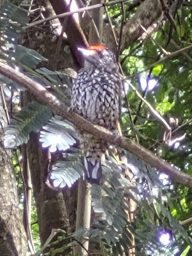
Research-grade observations from iNaturalist (within ~15 mi).
Events
Gallery
Official Identifiers
IBGE — Brazilian Institute of Geography and Statistics
- IBGE code
- 3507902
- UF
- SP
- Mesorregião
- Piracicaba
- Microrregião
- Rio Claro
servicodados.ibge.gov.br
Sources
- • Wikipedia
- • Wikidata
- • Open-Meteo Air Quality (CAMS)
- • USGS Earthquake Catalog (global feed)
- • GBIF (Global Biodiversity Information Facility)
- • iNaturalist
- • Open-Meteo / sunrise-sunset.org
- • Wikipedia Pageviews API
- • Open Library
- • IBGE — Brazilian national statistics, via servicodados.ibge.gov.br (official municipal code, UF, mesorregião, microrregião, region)
- • IBGE — Brazilian Institute of Geography and Statistics — servicodados.ibge.gov.br