Browse / Brazil / Alagoas / Campo Grande
Campo Grande
Alagoasvillage
Total population
8,143
Founded
1899
Demographic figures from IBGE. Overview below cites Wikipedia and may reference a different year.
City facts
Sister cities
Facts from Wikidata (CC0).
Overview
Campo Grande sits in Alagoas, Brazil and is identified as a small village. Campo Grande maps to -9.955°, -36.793° — squarely within the equatorial belt. The population stands at approximately 8,143. Climatically, locations at this latitude tend to experience hot and humid year-round with little seasonal temperature variation. Detailed open-data panels follow, covering demographics, climate, geography, wildlife and nearby settlements.
Summary composed automatically from structured open data on this page. See our Terms for details.
History & geography
History
Campo Grande started as a small village founded in 1877 by farmers José Antônio Pereira and Manoel Vieira de Sousa (a.k.a. Manoel Olivério), who came from Minas Gerais just after the end of the Paraguayan War. They founded the village, known at that time as Santo Antônio de Campo Grande, near the Serra de Maracaju cliffs, at the confluence of two streams named Prosa and Segredo (Portuguese for "conversation" and "secret," respectively), whose courses now coincide with two of the city's most important avenues. In the late 1877, the founder built the village's first church. The roughly aligned houses formed the first street, known as Rua Velha (Old Street), today Rua 26 de Agosto (26 August Street). This street ended where today one finds a square in honor of the immigrants that later came to the city. In 1930, the city was the theater of a small conflict involving governmental forces, led by Getulio Vargas, and indigenous groups. The rebels seized large parts of the city until government reinforcement arrived and ended the conflict. The city started to develop relatively fast because of its privileged climate and location. These factors drew people from other regions of the country, especially the South, the Southeast and the Northeast regions. The settlement was officially recognized as a municipality by the State Government on August 26, 1899, and renamed Campo Grande.
Geography
The vegetation in Campo Grande and Central Brazil is a tropical savanna called "Cerrado" that varies from pure grassland to a nearly closed canopy of medium height trees overlying grass. Since forest is the expected climax vegetation there, several theories have been given to explain the types of grassland present. The most promising of these involve differences in soil properties, but only a few sites have been used for evaluation. The 1960s marked the beginning of the expansion of large-scale agriculture across the Cerrado. The state is one of the largest producers of soybeans in the world. The municipality contains the Matas do Segredo State Park, created in 2000 to protect an area of cerrado forest. and the Prosa State Park, created in 2002. Campo Grande has a tropical savanna climate (Köppen: Aw), just slightly drier than a tropical monsoon climate, with a mild appearance of cold air masses on the southern edge of the tropics. It has semi-humid, hot summers, and notably seasonal, with a dry winter season from June through September, but without major irregularities in the precipitation. Its altitude a few hundred meters higher than in the surrounding swamps and its location in the interior of South America, gives a much more extreme climate than several Brazilian cities, although still moderate. In addition, the flood is one of the problems seen in the city, the result of intense rains that occur in a short period. Annual rainfall averages . January is the warmest and rainiest month, with mean highs of 29 °C (84.2 °F) and lows of 20 °C (68.0 °F). July brings on sunny days but cooler temperatures, with mean highs of 25 °C (77.0 °F) and lows of 14 °C (57.2 °F). Occasional near-freezing temperatures can occur on winter's…
Excerpted from the corresponding Wikipedia article (CC BY-SA).
Geography
Coordinates & boundaries from the US Census TIGER/Line shapefiles.
Climate
Air quality
Walkability
Amenities nearby
Wildlife & biodiversity
Earthquake history
Photos
Sights & places nearby
Notable people from here
People born within ~10 km, from Wikidata (CC0). Click any name for their Wikipedia article.
Nearby places in Alagoas
- Olho d'Água Grande7.1 mi away · pop. 4,306
- Feira Grande8.8 mi away · pop. 22,712
- Borges10.8 mi away
- Marabinha11.5 mi away
- São Borges13.2 mi away
- Olho-d'água da Cerca13.9 mi away
- Traipu14.2 mi away · pop. 23,695
- Serrote dos Dias15.8 mi away
- Porto Real do Colégio16.3 mi away · pop. 19,846
- Carnaíbas16.9 mi away
- Folha Miúda17.4 mi away
- Capivaras19.7 mi away
Geography & sun
Nearby airports
Public attention
Books about this place
Recent natural events nearby
Ground air-quality sensors
Recently spotted species
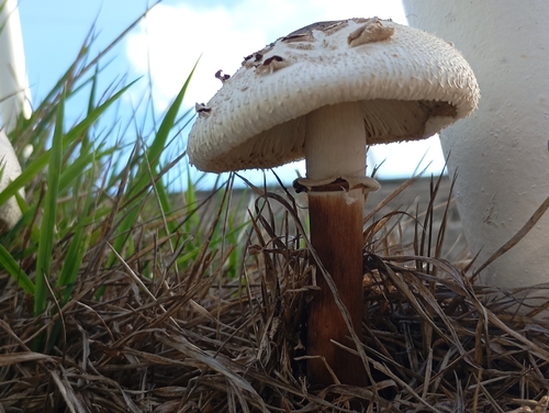
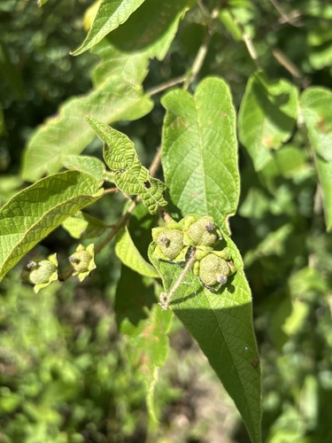
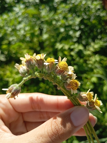
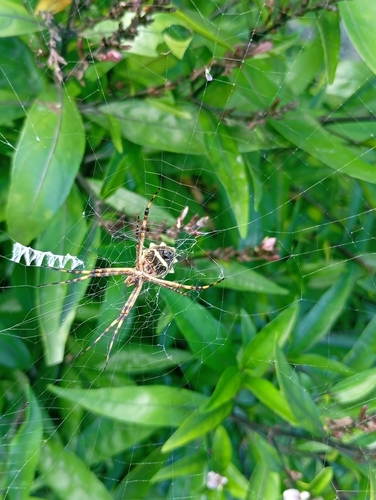
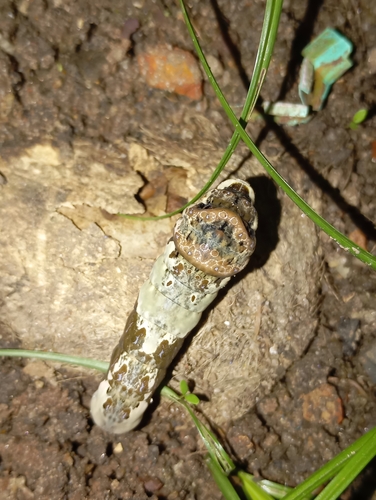
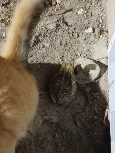
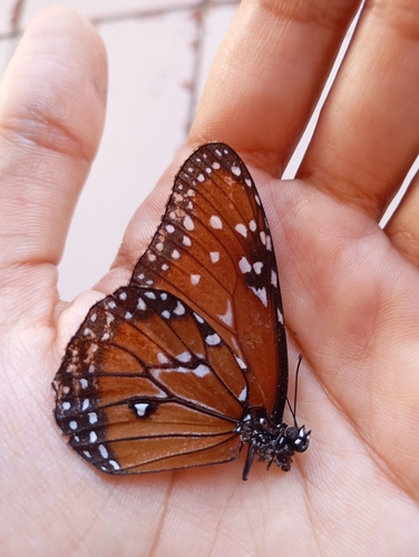
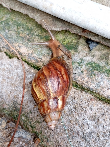
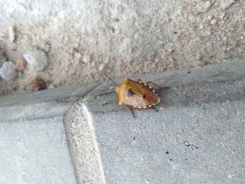
Research-grade observations from iNaturalist (within ~15 mi).
Events
Gallery
Official Identifiers
IBGE — Brazilian Institute of Geography and Statistics
- IBGE code
- 2701506
- UF
- AL
- Mesorregião
- Agreste Alagoano
- Microrregião
- Arapiraca
servicodados.ibge.gov.br
Sources
- • Wikipedia
- • Wikidata
- • iNaturalist
- • IBGE — Brazilian national statistics, via servicodados.ibge.gov.br (official municipal code, UF, mesorregião, microrregião, region)
- • IBGE — Brazilian Institute of Geography and Statistics — servicodados.ibge.gov.br