Browse / Brazil / Goiás / Carandá
Carandá
Goiáshamlet

Carandá
Air quality index
Demographic figures from IBGE. Overview below cites Wikipedia and may reference a different year.
City facts
Overview
Neltuma kuntzei is a South American leguminous tree species that inhabits the westernmost Gran Chaco forests covering areas of Argentina, Bolivia, and Paraguay. It has also been able to colonize the nearby pasture sabanas. It is commonly referred to as itín, palo mataco, carandá or barba de tigre. It is adapted to arid climate, but can also survive flooded ground for a long time.
Read more on WikipediaHistory & geography
Geography
Coordinates & boundaries from the US Census TIGER/Line shapefiles.
Climate
Air quality
Current readings from Open-Meteo Air Quality API (Copernicus CAMS European reanalysis).
Walkability
Amenities nearby
Wildlife & biodiversity
Most-observed species
- CatstonguePriva lappulacea (L.) Pers. · Magnoliopsida1
- BreadfruitArtocarpus altilis (Parkinson) Fosberg · Magnoliopsida1
- Langsdorffia hypogaea Mart.Langsdorffia hypogaea Mart. · Magnoliopsida1
Citizen-science & research observations from the Global Biodiversity Information Facility (GBIF).
Earthquake history
Events from the USGS Earthquake Catalog (global) (FDSN Event Web Service).
Photos
Sights & places nearby
Notable people from here
People born within ~10 km, from Wikidata (CC0). Click any name for their Wikipedia article.
Nearby places in Goiás
Geography & sun
Elevation, sunrise/sunset and daylight from Open-Meteo. Solar climatology from NASA POWER.
Nearby airports
Public attention
Pageview totals from the Wikimedia Pageviews API.
Books about this place
Recent natural events nearby
Ground air-quality sensors
Recently spotted species
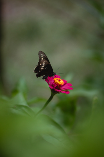
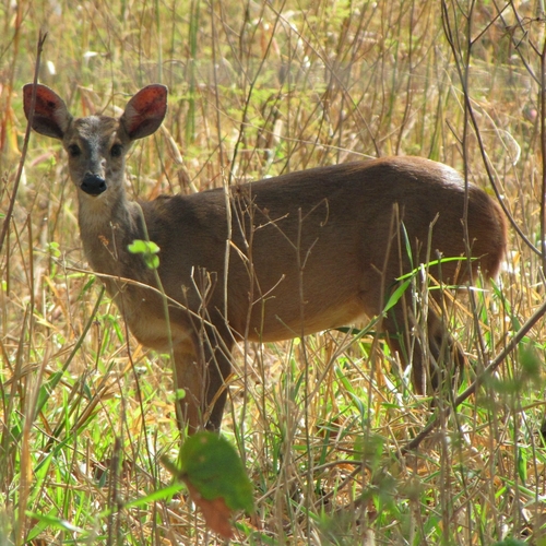
Research-grade observations from iNaturalist (within ~15 mi).
Events
Gallery
Sources
- • Wikipedia
- • Wikidata
- • Open-Meteo Air Quality (CAMS)
- • USGS Earthquake Catalog (global feed)
- • GBIF (Global Biodiversity Information Facility)
- • iNaturalist
- • Open-Meteo / sunrise-sunset.org
- • Wikipedia Pageviews API