Browse / Brazil / Minas Gerais / Caratinga
Caratinga
Minas Geraistown

Caratinga
Total population
87,360
Founded
1892
Air quality index
Demographic figures from IBGE. Overview below cites Wikipedia and may reference a different year.
City facts
Facts from Wikidata (CC0).
Overview
Caratinga is a Brazilian municipality located in the countryside of the state of Minas Gerais in the Southeast Region of Brazil. Situated in the Vale do Rio Doce, it is part of the Vale do Aço metropolitan area, approximately 310 kilometres (190 mi) east of the state capital, Belo Horizonte. The municipality covers an area of 1,258.479 square kilometres (485.901 sq mi), with 17 square kilometres (6.6 sq mi) in the urban area, and its population was estimated at 90,687 inhabitants in 2024.
Read more on WikipediaHistory & geography
History
The area now comprising Caratinga saw little colonization until the mid-19th century, except by the indigenous Aimorés (Bugre tribe). Occasionally, the Botocudo people ventured along the Caratinga River from its confluence with the Doce River in search of food or due to weather conditions. Exploration began with expeditions such as that of Spinosa in 1553, heading toward the São Francisco River, and Sebastião Fernandes Tourinho, who explored the Caratinga River in 1573. In the early 18th century, during the colonial period, settlers from the Captaincy of Espírito Santo ventured inland, primarily seeking gold. Notably, Pedro Bueno Cacunda, in 1733, explored the region encompassing much of present-day Caratinga, between the Itapeba River (later named Cuiethé, now Caratinga) and the Mayguassu River (Manhuaçu River), searching for gold in streams and tributaries. By the late 18th century, the Estrada do Degredo was established, crossing the current municipal territory and connecting the Estrada Real in Ouro Preto to the Cuité prison (now Conselheiro Pena), serving as an alternative route to the Doce River. In the 19th century, Domingos Fernandes Lana, from Araponga, explored the region in search of ipecac, a valuable medicinal plant. Around 1841, accompanied by friends, servants, slaves, and catechized indigenous people, he traversed the Caratinga River. Lana named the area's rock formations "Caratinga" due to the abundance of yam, an edible tuber also known as caratinga. The expedition continued toward Cuité, near Conselheiro Pena. with Father Maximiano João da Cruz as its first priest. The fertile lands and its position as the only urban center on the right bank of the Caratinga River sustained population growth, attracting settlers from southern regions aiming to…
Geography
According to the Brazilian Institute of Geography and Statistics (IBGE), Caratinga's area is , with in the urban area. Caratinga belongs to the Ipatinga Intermediate Geographic Region and the Caratinga Immediate Geographic Region. Previously, under the mesoregion and microregion divisions, it was part of the Caratinga microregion within the Vale do Rio Doce mesoregion. The predominant terrain in Caratinga is characterized by a "sea of hills," with undulating landscapes, isolated rock formations, and susceptibility to erosion and landslides. The municipality lies within the Caratinga River basin, part of the Doce River Basin. The Doce River borders the municipality at its boundaries with Ipatinga and Santana do Paraíso, while the Caratinga River runs through the municipal territory and urban area, joined by smaller streams such as Salim, Sales, Santa Cruz, São João, and Seco. Urban waterways are subject to considerable levels of water contamination, causing flooding, unpleasant odors, and the proliferation of insects. The rural area features numerous springs and streams, including the Providência, Chaves, Calixto, Macaquinho, Silvestre, Marcinos, Leite, Pastor, and São Cândido springs, as well as the Ribeirão do Boi, Macaco, Lagoa Nova, and Laje streams. The Laje stream supplies the city with water. Lagoons are common in the western part of the municipality. with a hot semi-humid climate near the Doce River. The transition between dry and wet seasons often brings thunderstorms, especially from late winter to spring. Precipitation primarily falls as rain, with occasional hail, causing damage in both urban and rural areas. Storms may include lightning and strong wind gusts. According to the National Institute for Space Research’s Atmospheric Electricity Group…
Excerpted from the corresponding Wikipedia article (CC BY-SA).
Geography
Coordinates & boundaries from the US Census TIGER/Line shapefiles.
Climate
Air quality
Current readings from Open-Meteo Air Quality API (Copernicus CAMS European reanalysis).
Walkability
Amenities nearby
Wildlife & biodiversity
Most-observed species
- Saffron FinchSicalis flaveola (Linnaeus, 1766) · Aves20
- Sayaca TanagerThraupis sayaca (Linnaeus, 1766) · Aves19
- Venezuelan TroupialIcterus icterus (Linnaeus, 1766) · Aves18
- Double-collared SeedeaterSporophila caerulescens (Vieillot, 1823) · Aves16
- Ruddy Ground-DoveColumbina talpacoti (Temminck, 1810) · Aves16
- Rufous-bellied ThrushTurdus rufiventris Vieillot, 1818 · Aves13
- Blue-black GrassquitVolatinia jacarina (Linnaeus, 1766) · Aves13
- Smooth-billed AniCrotophaga ani Linnaeus, 1758 · Aves12
Citizen-science & research observations from the Global Biodiversity Information Facility (GBIF).
Earthquake history
Events from the USGS Earthquake Catalog (global) (FDSN Event Web Service).
Photos
Sights & places nearby
Notable people from here


People born within ~10 km, from Wikidata (CC0). Click any name for their Wikipedia article.
Nearby places in Minas Gerais
- Piedade de Caratinga4.6 mi away · pop. 8,529
- Santa Rita de Minas5.9 mi away · pop. 6,773
- Santana do Tabuleiro10.4 mi away
- Ubaporanga11 mi away · pop. 13,017
- Córrego Novo16.8 mi away · pop. 2,875
- Vermelho Velho19.3 mi away
- São Vicente da Estrela22.6 mi away
- Simonésia24.7 mi away · pop. 19,750
- Iapu24.9 mi away · pop. 12,030
- Ipanema27.7 mi away · pop. 19,522
- Dom Cavati28.8 mi away · pop. 4,904
- Chalé34 mi away · pop. 6,075
Geography & sun
Elevation, sunrise/sunset and daylight from Open-Meteo. Solar climatology from NASA POWER.
Nearby airports
Public attention
Pageview totals from the Wikimedia Pageviews API.
Books about this place
Recent natural events nearby
Ground air-quality sensors
Recently spotted species
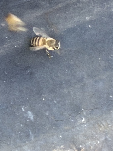
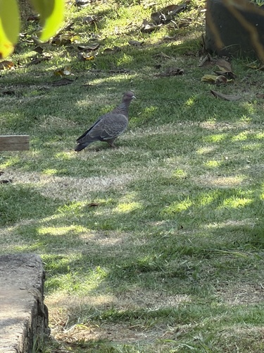
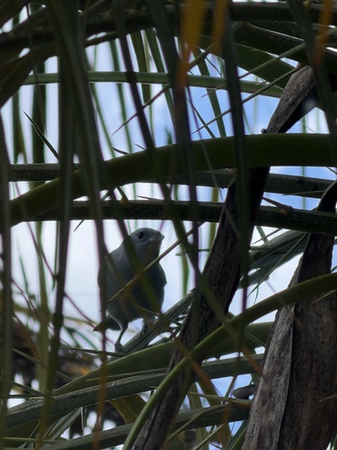
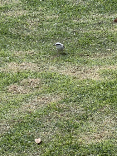
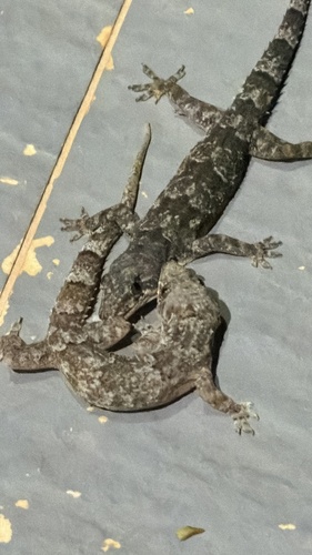
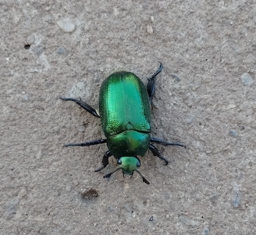
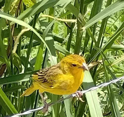
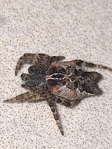
Research-grade observations from iNaturalist (within ~15 mi).
Events
Gallery
Geotagged photos within ~6 miles of Caratinga, from Wikimedia Commons contributors.
 0.1 mi
 0.1 mi
 0.1 mi
 0.1 mi
 0.1 mi
 0.1 mi
 0.1 mi
.jpg) 0.1 mi
0.1 mi.jpg) 0.1 mi
0.1 mi.jpg) 0.1 mi
0.1 mi 0.1 mi
 0.2 mi
 0.2 mi
 0.3 mi
 0.3 mi
 0.3 mi
 0.3 mi
 0.4 mi
 0.5 mi
 0.7 mi
 1.3 mi
 1.3 mi
.jpg) 1.3 mi
1.3 mi-33223197_-_panoramio.jpg) 1.6 mi
1.6 miPhotos via Wikimedia Commons — see each image page for license & attribution.
Official Identifiers
IBGE — Brazilian Institute of Geography and Statistics
- IBGE code
- 3113404
- UF
- MG
- Mesorregião
- Vale do Rio Doce
- Microrregião
- Caratinga
servicodados.ibge.gov.br
Sources
- • Wikipedia
- • Wikimedia Commons
- • Wikidata
- • Open-Meteo Air Quality (CAMS)
- • USGS Earthquake Catalog (global feed)
- • GBIF (Global Biodiversity Information Facility)
- • iNaturalist
- • Open-Meteo / sunrise-sunset.org
- • Wikipedia Pageviews API
- • Wikidata SPARQL (CC0) — population, area, elevation, inception, head of government, Commons image
- • IBGE — Brazilian national statistics, via servicodados.ibge.gov.br (official municipal code, UF, mesorregião, microrregião, region)
- • IBGE — Brazilian Institute of Geography and Statistics — servicodados.ibge.gov.br