Browse / Brazil / Ceará / Cascavel
Cascavel
Cearátown

Cascavel
Total population
72,720
Founded
1952
Air quality index
Demographic figures from IBGE. Overview below cites Wikipedia and may reference a different year.
City facts
Sister cities
Facts from Wikidata (CC0).
Overview
Cascavel is a city in the state of Paraná in Brazil. It is the fifth most populous city in the state with 368,195 inhabitants, according to IBGE 2025 estimate. The distance to Curitiba, the state capital, is 491 kilometers by freeway.
History & geography
History
The Caingangue natives inhabited western Paraná, which was occupied by the Spaniards in 1557, when they founded the Ciudad del Real Guayrá, in the current city of Terra Roxa. A new occupation started in 1730 with troops (tropeirismo in Portuguese), but the settlement of the current city began in the late 1910s by settlers of mixed racial ethnicity (caboclos (people of indigenous and European descent)), and descendants of Slavic immigrants, at the peak of the cycle of erva mate. The village began to form on March 28, 1928, when José Silverio de Oliveira, dubbed "Nho Jeca", bought a glebe from the settler Jose Antonio Elias, in the historical area called Encruzilhada dos Gomes, and which is currently the Cascavel Velho neighborhood. It was at a junction of several trails open by ervateiros (cultivators of erva mate), drovers and military, where de Oliveira set up his warehouse. His entrepreneurial spirit was key to the arrival of new people, who brought ideas and investments. From the 1930s and 1940s, thousands of southern settlers, mostly descendants of Poles, Germans, Italians, Ukrainians and caboclos migrating from coffee regions, began logging, farming and raising pigs in the village, which became a district in 1938. Notably, the locality was already included in military maps from 1924, and the village was made official by the town hall of Foz do Iguaçu in 1936, with the name of Cascavel. The prelate of that city, Monsignor William Maria Thiletzek, renamed it "Aparecida dos Portos" (a Brazilian name for Mary, The Mother of Jesus), a name that did not prosper amongst the inhabitants. In the 1930s, with the cycle of erva mate at a close, the surrounding area entered into the so-called "cycle of wood", which attracted a large number of families from Santa Catarina…
Geography
Cascavel is a humid city, with a humid subtropical climate (Cfa, according to the Köppen climate classification). The annual average temperature is 21 °C (70 °F), with a maximum of 28° (85 °F). Annual average precipitation is 1965 mm (77.362 inches). According to the IBGE, the population of Cascavel is formed of the following ethnicities {| class="wikitable" style="text-align:center" |- style="background:#096;" colspan="2" !Ethnicity !Percentage |- |White |70,15% |- |Mixed |26,25% |- |Black |2,59% |- |Asian |0,88% |- |Indigenous |0,27% |} The city has experienced significant population growth since its foundation, especially during the first decades. On the other hand, several municipalities were ultimately removed from Cascavel, which slightly reduced its demographic expansion. {| class="wikitable" style="text-align:center" |- style="background:#009909;" colspan="3" !Year !Population !Percent change |- |1950 |404 | |- |1960 |39,598 |9.701% |- |1970 |89,921 |127,08% |- |1980 |163,459 |81,78% |- |1991 |192,990 |18,07% |- |2000 |245,369 |27,14% |- |2010 |286,172 |16,63% |- |2022 |348,051 |21,6% |} Cascavel is the headquarters of the Cascavel Metropolitan Region, an area undergoing conurbation that comprises 23 municipalities in the Western Mesoregion and has a total population of 552,097. It was approved by the Paraná State Legislative Assembly on December 16, 2014, through bill 402/2012 and sanctioned by Governor Beto Richa on January 14, 2015, thus meeting a long-standing local demand.
Excerpted from the corresponding Wikipedia article (CC BY-SA).
Geography
Coordinates & boundaries from the US Census TIGER/Line shapefiles.
Climate
Air quality
Current readings from Open-Meteo Air Quality API (Copernicus CAMS European reanalysis).
Walkability
Amenities nearby
Wildlife & biodiversity
Most-observed species
- Black VultureCoragyps atratus (Bechstein, 1793) · Aves97
- Turkey VultureCathartes aura (Linnaeus, 1758) · Aves79
- Great KiskadeePitangus sulphuratus (Linnaeus, 1766) · Aves74
- Great EgretArdea alba Linnaeus, 1758 · Aves72
- BananaquitCoereba flaveola (Linnaeus, 1758) · Aves69
- Scaled DoveColumbina squammata (R.Lesson, 1831) · Aves63
- Purple-throated EuphoniaEuphonia chlorotica (Linnaeus, 1766) · Aves61
- Sayaca TanagerThraupis sayaca (Linnaeus, 1766) · Aves60
Citizen-science & research observations from the Global Biodiversity Information Facility (GBIF).
Earthquake history
Events from the USGS Earthquake Catalog (global) (FDSN Event Web Service).
Photos
Sights & places nearby
Notable people from here

People born within ~10 km, from Wikidata (CC0). Click any name for their Wikipedia article.
Nearby places in Ceará
Geography & sun
Elevation, sunrise/sunset and daylight from Open-Meteo. Solar climatology from NASA POWER.
Nearby airports
Public attention
Pageview totals from the Wikimedia Pageviews API.
Books about Cascavel
Search results from Open Library.
Recent natural events nearby
Ground air-quality sensors
Recently spotted species
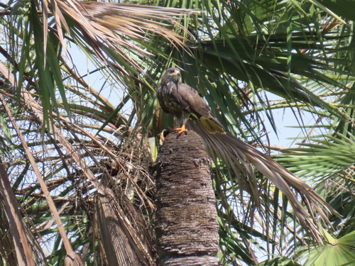
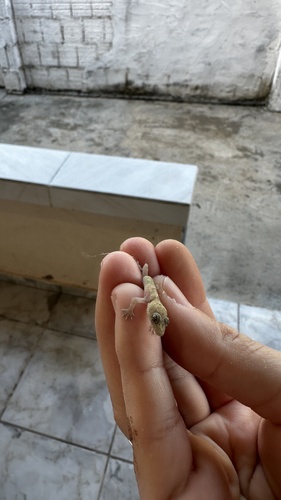
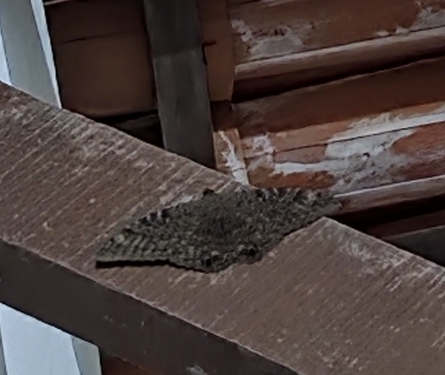
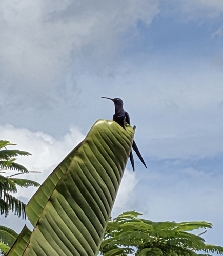
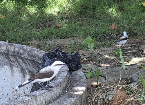
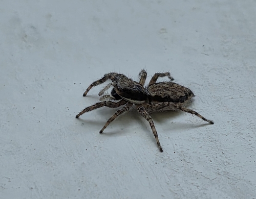
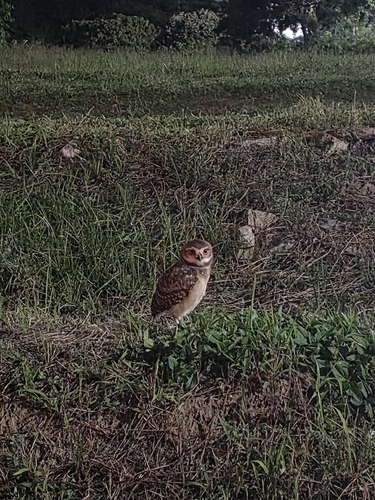
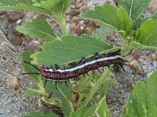
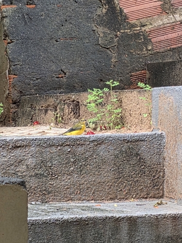
Research-grade observations from iNaturalist (within ~15 mi).
Events
Gallery
Geotagged photos within ~6 miles of Cascavel, from Wikimedia Commons contributors.
.jpg)

.jpg)


Photos via Wikimedia Commons — see each image page for license & attribution.
Official Identifiers
IBGE — Brazilian Institute of Geography and Statistics
- IBGE code
- 2303501
- UF
- CE
- Mesorregião
- Norte Cearense
- Microrregião
- Cascavel
servicodados.ibge.gov.br
Sources
- • Wikipedia
- • Wikimedia Commons
- • Wikidata
- • Open-Meteo Air Quality (CAMS)
- • USGS Earthquake Catalog (global feed)
- • GBIF (Global Biodiversity Information Facility)
- • iNaturalist
- • Open-Meteo / sunrise-sunset.org
- • Wikipedia Pageviews API
- • Open Library
- • Wikidata SPARQL (CC0) — population, area, elevation, inception, head of government, Commons image
- • IBGE — Brazilian national statistics, via servicodados.ibge.gov.br (official municipal code, UF, mesorregião, microrregião, region)
- • IBGE — Brazilian Institute of Geography and Statistics — servicodados.ibge.gov.br