Browse / Brazil / Acre / Ceará
Ceará
Acrehamlet
Founded
1891
Demographic figures from IBGE. Overview below cites Wikipedia and may reference a different year.
City facts
Facts from Wikidata (CC0).
Overview
Ceará is a hamlet that lies in Acre, Brazil. Geographically it lies in the southern hemisphere at a equatorial latitude (-7.844°, -72.214°). Detailed population figures are not currently catalogued in the open data sources we track. Solar-resource estimates put the area at about 1,686 kWh/m² of solar irradiance per year with sunshine for roughly 66% of daylight hours. Its latitude implies a climate characterised by hot and humid year-round with little seasonal temperature variation. The remainder of this page draws on open public data to describe the area's demographics, climate, environment and nearby amenities.
Summary composed automatically from structured open data on this page. See our Terms for details.
History & geography
History
The territory of Ceará was originally inhabited by different Indian peoples, such as the Tabajara, Potyguara, Anacés, Kariri, Inhamum, Jucá, Kanindé, Tremembé, Paicaú and others, who had commercial relations with various European people, including the French, before the Portuguese decided to include the area in Brazil. The first Portuguese plan for settling in Ceará dated from 1534, but the first attempts to settle the territory failed, and the earliest Portuguese settlement was made near the mouth of the Ceará River in 1603, by Pero Coelho de Sousa. He established the fort of São Tiago, but one year later he and his family abandoned Ceará because of a period of drought, a natural phenomenon that periodically afflicts the province, which the Portuguese settlers were ill-equipped to endure. Portugal wanted to form a military base in Ceará to support the Portuguese operations in the war against the French. The first attempt with Pero Coelho de Sousa, in 1603, was not successful, and the French continued operating from Maranhão and Ibiapaba, where they had established a base in 1590. The Indians and French formed political and military alliances. In 1607, two Jesuits, Francisco Pinto and Pereira Figueira, arrived in Ceará with a mission to spy in the area of Ibiapaba. In October, that year Francisco Pinto was killed by the Indians and Pereira Filgueira returned with more information about the area and the French and Indian alliance. In 1612, the French were successfully expelled from Ceará and Maranhão by a military expedition under the command of Portuguese Martim Soares Moreno. In the same year he constructed the fortress of São Sebastião on the same site as São Tiago, and one year later he left Ceará for Portugal. It was only in 1618 that Martim Soares Moreno…
Geography
Ceará has an area of . It is bounded on the north by the Atlantic Ocean, on the east by the states of Rio Grande do Norte and Paraíba, on the south by Pernambuco state, and on the west by Piauí. Ceará lies partly upon the northeast slope of the Brazilian Highlands, and partly upon the sandy coastal plain. Its surface is a succession of great terraces, facing north and northeast, formed by the denudation of the ancient sandstone plateau which once covered this part of the continent; the terraces are seamed by watercourses, and their valleys are broken by hills and ranges of highlands. The latter are the remains of the ancient plateau, capped with horizontal strata of sandstone, with a uniform altitude of . The flat top of such a range is called a chapada or taboleira, and its width in places is from . The boundary line with Piauí follows one of these ranges, the Serra de Ibiapaba, which unites with another range on the southern boundary of the state, known as the Serra do Araripe. Another range, or escarpment, crosses the state from east to west, but is broken into two principal divisions, each having several local names. These ranges are not continuous, the breaking down of the ancient plateau having been irregular and uneven. The rivers of the state are small and, with one or two exceptions, become completely dry in the dry season. The largest is the Jaguaribe, which flows entirely across the state in a northeast direction. Ceará has a varied environment, with mangroves, caatinga, jungle, scrubland and tropical forest. The higher ranges intercept considerable moisture from the prevailing trade winds, and their flanks and valleys are covered with a tropical forest which is typical of the region, gathering species from tropical forests, caatinga and cerrado. The…
Excerpted from the corresponding Wikipedia article (CC BY-SA).
Geography
Coordinates & boundaries from the US Census TIGER/Line shapefiles.
Climate
Air quality
Walkability
Amenities nearby
Wildlife & biodiversity
Most-observed species
- Philodendron megalophyllum SchottPhilodendron megalophyllum Schott · Liliopsida4
- mauve parachuteMarasmius haematocephalus (Mont.) Fr. · Agaricomycetes2
- Chelyocarpus ulei DammerChelyocarpus ulei Dammer · Liliopsida2
- Costus guanaiensis RusbyCostus guanaiensis Rusby · Liliopsida2
- False Bird of ParadiseHeliconia rostrata Ruiz & Pav. · Liliopsida2
- Stromanthe stromanthoides (J.F.Macbr.) L.AnderssonStromanthe stromanthoides (J.F.Macbr.) L.Andersson · Liliopsida2
- Philodendron ernestii Engl.Philodendron ernestii Engl. · Liliopsida2
- Mosaic PlantLudwigia sedioides (Bonpl.) H.Hara · Magnoliopsida2
Citizen-science & research observations from the Global Biodiversity Information Facility (GBIF).
Earthquake history
Most recent
- M 6.5 — 2024-01-2870 km W of Tarauacá, Brazil
- M 4.8 — 2019-04-16101 km W of Tarauacá, Brazil
- M 6.8 — 2019-01-0590 km W of Tarauacá, Brazil
- M 4.4 — 2015-07-3127 km SSE of Porto Walter, Brazil
- M 5.1 — 2014-04-0790 km W of Tarauacá, Brazil
- M 5.3 — 2010-09-3066 km WNW of Tarauacá, Brazil
Events from the USGS Earthquake Catalog (global) (FDSN Event Web Service).
Photos
Sights & places nearby
Notable people from here
Geography & sun
Elevation, sunrise/sunset and daylight from Open-Meteo. Solar climatology from NASA POWER.
Nearby airports
Public attention
Pageview totals from the Wikimedia Pageviews API.
Books about Ceará
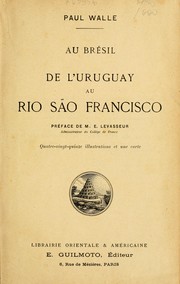
Search results from Open Library.
Recent natural events nearby
Ground air-quality sensors
Recently spotted species
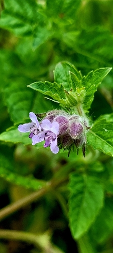
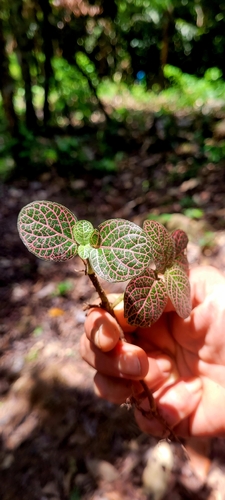

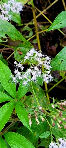
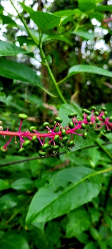
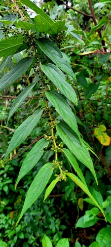
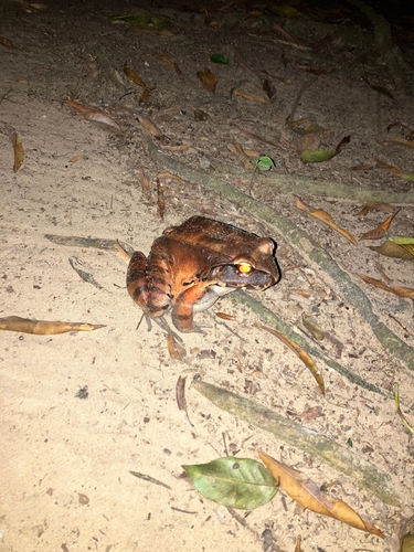
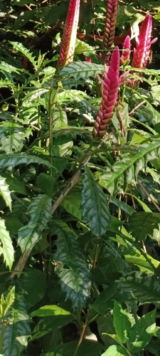
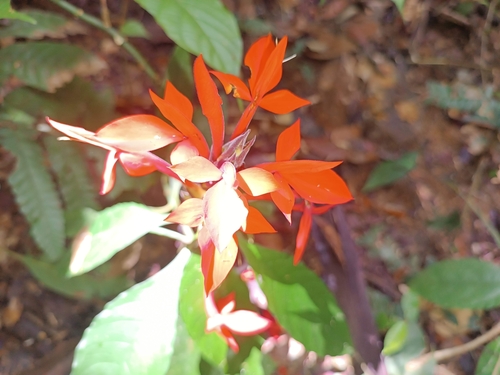
Research-grade observations from iNaturalist (within ~15 mi).
Events
Notable, recurring, and historical events associated with Ceará, sourced from Wikidata.
- Expulsion of residents by organized crime groups in Cearáplanned event
Forced expulsion of residents by criminal factions in the state of Ceará
- Q106547929recurring event
Source: Wikidata (CC0).
Gallery
Sources
- • Wikipedia
- • Wikidata
- • USGS Earthquake Catalog (global feed)
- • GBIF (Global Biodiversity Information Facility)
- • iNaturalist
- • Open-Meteo / sunrise-sunset.org
- • Wikipedia Pageviews API
- • Open Library