Browse / Brazil / Rio Grande do Sul / Charruas
Charruas
Rio Grande do Sulhamlet

Charruas
Demographic figures from IBGE. Overview below cites Wikipedia and may reference a different year.
City facts
Overview
The Charrúa are an Indigenous people or Indigenous Nation of the Southern Cone in present-day Uruguay and the adjacent areas in Argentina and Brazil. They were a semi-nomadic people who sustained themselves mainly through hunting and gathering. Since resources were not permanent in every region, they would constantly be on the move. Rain, drought, and other environmental factors determined their movement. For this reason they are often classified as seasonal nomads.
Read more on WikipediaHistory & geography
Geography
Coordinates & boundaries from the US Census TIGER/Line shapefiles.
Climate
Air quality
Walkability
Amenities nearby
Wildlife & biodiversity
Earthquake history
Photos
Sights & places nearby
Notable people from here
Nearby places in Rio Grande do Sul
- Tupantuba5.6 mi away
- Timbaúva26.9 mi away
- Capão do Livro32.4 mi away
- Capela São Paulo33 mi away
- Santo Antônio das Missões33.1 mi away · pop. 10,300
- Serrinha do Rosário35.6 mi away
- Ernesto Alves35.9 mi away
- Rincão de São Pedro35.9 mi away
- Santo Antão38.1 mi away
- Ijucapirama39.9 mi away
- Beluno40.5 mi away
- Jaguari45.4 mi away · pop. 10,579
Geography & sun
Elevation, sunrise/sunset and daylight from Open-Meteo. Solar climatology from NASA POWER.
Nearby airports
Public attention
Pageview totals from the Wikimedia Pageviews API.
Books about this place
Recent natural events nearby
Ground air-quality sensors
Recently spotted species
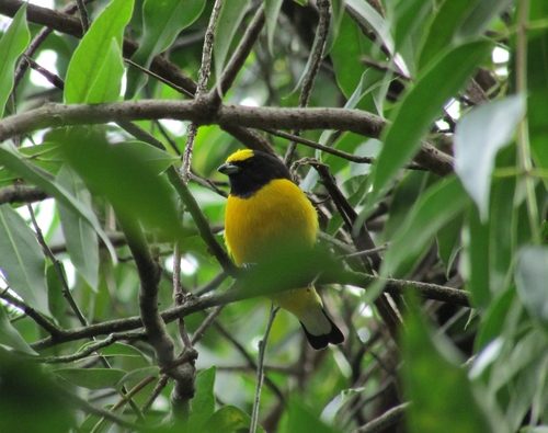
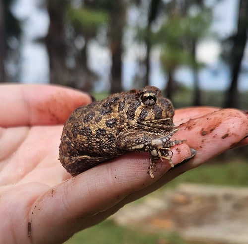
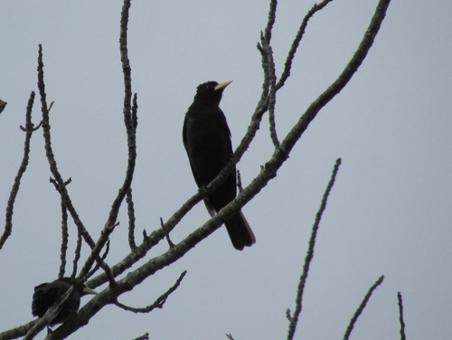
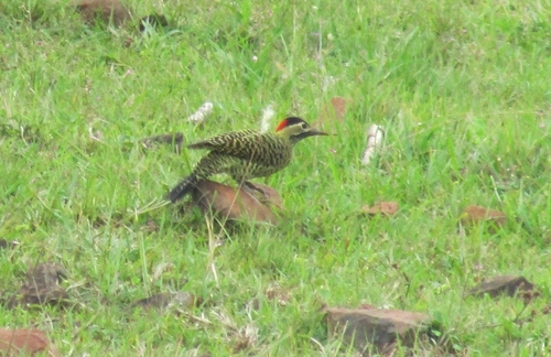
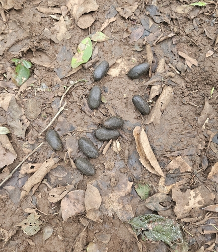
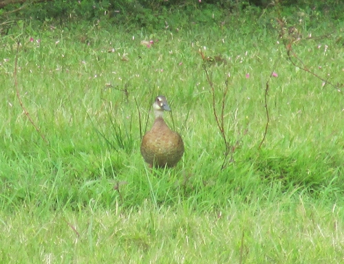
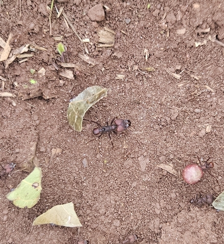
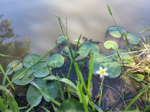
Research-grade observations from iNaturalist (within ~15 mi).
Events
Gallery
Sources
- • Wikipedia
- • iNaturalist
- • Open-Meteo / sunrise-sunset.org
- • Wikipedia Pageviews API