Browse / Brazil / Paraná / Curitiba
Curitiba
Paranácity

Curitiba
Total population
1,773,718

Founded
1693
Air quality index
Demographic figures from IBGE. Overview below cites Wikipedia and may reference a different year.
City facts
Sister cities
Facts from Wikidata (CC0).
Overview
Curitiba is the capital and largest city in the state of Paraná in Southern Brazil. The city's population was 1,829,225 as of 2024, making it the eighth most populous city in Brazil and the largest in Brazil's South Region. The Curitiba metropolitan area comprises 29 municipalities with a total population of over 3,559,366, making it the ninth most populous metropolitan area in the country.
Read more on WikipediaHistory & geography
History
At the end of the 17th century, Curitiba's agriculture was only for subsistence and its main economic activities were mineral extraction. Waves of European immigrants arrived after 1850, mainly Poles, Italians, Germans (mostly Volga Germans from Russia) and Ukrainians. The Paranaguá–Curitiba railroad was opened in 1885. Around the beginning of the 20th century, Curitiba benefited from the wealth of the yerba mate mills. The owners (known as "barões da erva-mate") built mansions in the capital. These have mostly been preserved in the districts of Batel and Alto da Glória. In the 1940s and 1950s, Alfred Agache, co-founder of the French Society for Urban Studies, was hired to produce its first city plan. It emphasized a "star" of boulevards, with public amenities downtown, an industrial district and sanitation. It was followed in part, but the plan was too expensive to complete. Curitiba has a long history of being intentional about city planning. The early leaders in Curitiba were the first people to establish building regulations. This included limiting the number of trees cut and requiring homes to have tile and not wood roofs. By 1960 Curitiba’s population had increased to 430,000 and Alfred Agache's plan for the city had not considered the future influx of immigrants. A group of young planners and architects led by Jaime Lerner from the Federal University of Paraná answered a proposal from Mayor Ivo Arzua centered around preparing Curitiba for new growth. They improved Agache’s plan by proposing adding major linear transit pathways to Curitiba to provide straightforward high-speed routes throughout the city. They also included plans for reducing downtown traffic, minimizing urban sprawl, providing easily accessible and inexpensive public transit, and preserving…
Geography
Curitiba, the capital of the Paraná state of southern Brazil, is located near the Atlantic margin of the Brazilian Highlands and the headwaters of the Iguaçu River. It is around 3,050 feet (930 meters) above sea level. The most important rivers that form six hydrographic basins within the municipal territory are, in addition to the Iguaçu River, the Atuba, Belém, Barigui, Passaúna, and the Padilhas stream, all with similar drainage characteristics. The most extensive hydrographic basin in Curitiba is that of the Barigui River, which crosses the municipality from north to south and covers 139.9 km² of the municipality's area. To the south, there is the least extensive hydrographic basin in Curitiba, that of the Padilhas stream, with 33.6 km². As the relief of Curitiba is predominantly higher in the north of the municipality, six hydrographic basins, in their entirety, descend towards the south of the municipality, flowing into the Iguaçu River, the most important river in Curitiba, which, in turn, flows into the Paraná River, in the far west of the state. Due to certain peculiarities, rainfall habitually causes significant flooding in the rivers of Curitiba, resulting in regular floods, which constantly worries the population and the public administration. Nowadays, after many studies regarding local waterways, almost all of the rivers are being channeled. Curitiba features a temperate oceanic climate (Köppen: Cfb, Trewartha: Cfbl). Its location on a plateau and the flat terrain with flooded areas contributes to its somewhat mild and damp winters, with an average minimum temperature of in July. Nighttime temperatures can drop below on the coldest days. Daytime temperatures in winter are usually pleasant, around . However, during cold snaps, daytime temperatures…
Excerpted from the corresponding Wikipedia article (CC BY-SA).
Geography
Coordinates & boundaries from the US Census TIGER/Line shapefiles.
Climate
10-year averages from ERA5 reanalysis (Open-Meteo).
Air quality
Current readings from Open-Meteo Air Quality API (Copernicus CAMS European reanalysis).
Walkability
Amenities nearby
Wildlife & biodiversity
Most-observed species
- Rufous HorneroFurnarius rufus (Gmelin, 1788) · Aves2,848
- Rufous-bellied ThrushTurdus rufiventris Vieillot, 1818 · Aves2,767
- Great KiskadeePitangus sulphuratus (Linnaeus, 1766) · Aves2,726
- Eared DoveZenaida auriculata (Des Murs, 1847) · Aves2,579
- Southern LapwingVanellus chilensis (Molina, 1782) · Aves2,534
- Plain ParakeetBrotogeris tirica (Gmelin, 1788) · Aves2,007
- Saffron FinchSicalis flaveola (Linnaeus, 1766) · Aves1,826
- Sayaca TanagerThraupis sayaca (Linnaeus, 1766) · Aves1,811
Citizen-science & research observations from the Global Biodiversity Information Facility (GBIF).
Earthquake history
Events from the USGS Earthquake Catalog (global) (FDSN Event Web Service).
Photos

IGREJA DE NOSSA SENHORA DA LUZ DOS PINHAIS ou Catedral Metropolitana, situado na Praça Tiradentes, em Curitiba, Paraná, Brasil by Nivaldo Cit Filho - panoramio

PRAÇA TIRADENTES com Catedral Metropolitana de Curitiba ao fundo, Curitiba, Paraná, Brasil by Nivaldo Cit Filho - panoramio

Catedral Basílica Nossa Senhora da Luz dos Pinhais - Curitiba PR - panoramio
.jpg)
Catedral Basílica Nossa Senhora da Luz dos Pinhais - Curitiba PR - panoramio (1)
,_Paran%C3%A1,_Brasil_by_Ude_Dalcomuni_Cit_-_panoramio.jpg)
CURITIBA, (Praça Tiradentes, Catedral Metropolitana de Curitiba), Paraná, Brasil by Ude Dalcomuni Cit - panoramio
,_Paran%C3%A1,_Brasil_by_Ude_Dalcomuni_Cit_-_panoramio.jpg)
CURITIBA, (Praça Tiradentes, ônibus da Linha Turismo), Paraná, Brasil by Ude Dalcomuni Cit - panoramio
,_Paran%C3%A1,_Brasil_by_Nivaldo_Cit_Filho_-_panoramio.jpg)
CURITIBA, (Praça Tiradentes, ônibus da Linha Turismo), Paraná, Brasil by Nivaldo Cit Filho - panoramio
,_Paran%C3%A1,_Brasil_by_Nivaldo_Cit_Filho_-_panoramio.jpg)
CURITIBA, (Praça Tiradentes), Paraná, Brasil by Nivaldo Cit Filho - panoramio
,_Paran%C3%A1,_Brasil_by_Ude_Dalcomuni_Cit_-_panoramio_(1).jpg)
CURITIBA, (Praça Tiradentes), Paraná, Brasil by Ude Dalcomuni Cit - panoramio (1)
,_Paran%C3%A1,_Brasil_by_Nivaldo_Cit_Filho_-_panoramio_(3).jpg)
CURITIBA, (Praça Tiradentes), Paraná, Brasil by Nivaldo Cit Filho - panoramio (3)
,_Paran%C3%A1,_Brasil_by_Ude_Dalcomuni_Cit_-_panoramio_(1).jpg)
CURITIBA, (Catedral Metropolitana de Curitiba, Nossa Senhora da Luz dos Pinhais), Paraná, Brasil by Ude Dalcomuni Cit - panoramio (1)
,_Paran%C3%A1,_Brasil_by_Nivaldo_Cit_Filho_-_panoramio_(1).jpg)
CURITIBA, (Praça Tiradentes, ônibus LinhaTurismo), Paraná, Brasil by Nivaldo Cit Filho - panoramio (1)
Geo-tagged photos from Wikimedia Commons (CC-licensed; click any photo for license details).
Sights & places nearby
Notable people from here


People born within ~10 km, from Wikidata (CC0). Click any name for their Wikipedia article.
Nearby places in Paraná
- Ferraria8.4 mi away
- Quatro Barras12.9 mi away · pop. 24,191
- Borda do Campo14.4 mi away
- Guajuvira (de Baixo)18.9 mi away
- Catanduvas do Sul22.9 mi away
- Mandirituba24.3 mi away · pop. 27,439
- Porto de Cima24.6 mi away
- São Luiz do Purunã27.4 mi away
- Mariental30.9 mi away
- Colônia Witmarsum34.2 mi away · pop. 2,000
- Tijucas do Sul34.9 mi away · pop. 17,621
- Bairro Alto35.3 mi away
Geography & sun
Elevation, sunrise/sunset and daylight from Open-Meteo. Solar climatology from NASA POWER.
Nearby airports
Public attention
Pageview totals from the Wikimedia Pageviews API.
Books about Curitiba

Search results from Open Library.
Recent natural events nearby
Ground air-quality sensors
Recently spotted species
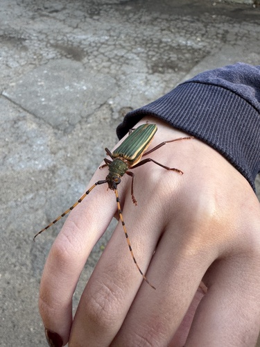
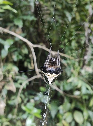
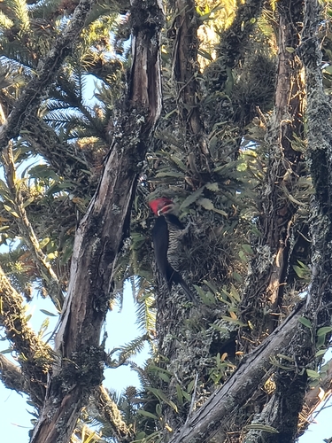
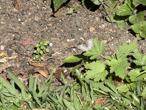
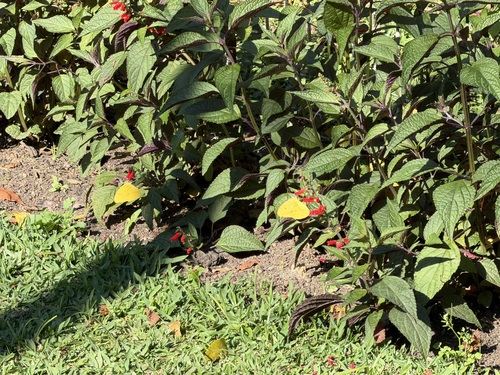
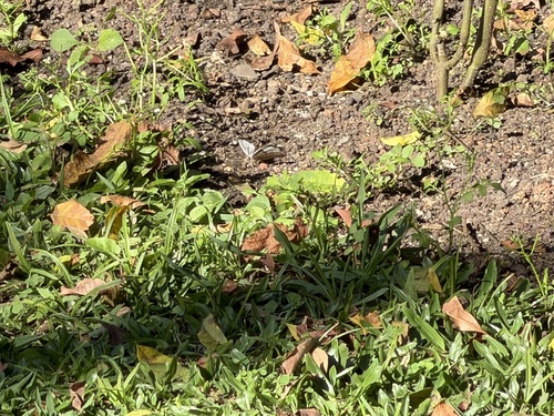
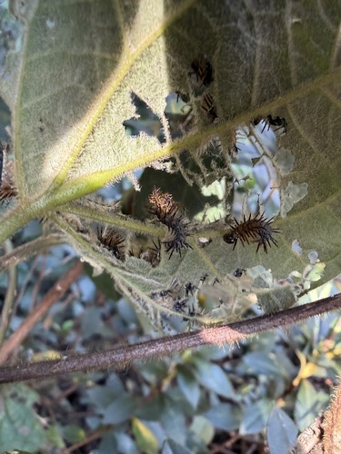
Research-grade observations from iNaturalist (within ~15 mi).
Events
Notable, recurring, and historical events associated with Curitiba, sourced from Wikidata.
Source: Wikidata (CC0).
Gallery
Geotagged photos within ~6 miles of Curitiba, from Wikimedia Commons contributors.

.jpg)


,_na_Pra%C3%A7a_Tiradentes,_Curitiba,_Paran%C3%A1,_Brasil,_by_Nivaldo_Cit_Filho_-_panoramio.jpg)
,_Paran%C3%A1,_Brasil_by_Ude_Dalcomuni_Cit_-_panoramio.jpg)
,_Paran%C3%A1,_Brasil_by_Nivaldo_Cit_Filho_-_panoramio_(1).jpg)
,_Paran%C3%A1,_Brasil_by_Nivaldo_Cit_Filho_-_panoramio_(2).jpg)
,_Paran%C3%A1,_Brasil_by_Ude_Dalcomuni_Cit_-_panoramio.jpg)
,_Paran%C3%A1,_Brasil_by_Nivaldo_Cit_Filho_-_panoramio_(4).jpg)
Photos via Wikimedia Commons — see each image page for license & attribution.
Official Identifiers
IBGE — Brazilian Institute of Geography and Statistics
- IBGE code
- 4106902
- UF
- PR
- Mesorregião
- Metropolitana de Curitiba
- Microrregião
- Curitiba
servicodados.ibge.gov.br
Sources
- • Wikipedia
- • Open-Meteo (ERA5 reanalysis)
- • Wikimedia Commons
- • Wikidata
- • Open-Meteo Air Quality (CAMS)
- • USGS Earthquake Catalog (global feed)
- • GBIF (Global Biodiversity Information Facility)
- • iNaturalist
- • Open-Meteo / sunrise-sunset.org
- • Wikipedia Pageviews API
- • Open Library
- • Wikidata SPARQL (CC0) — population, area, elevation, inception, head of government, Commons image
- • IBGE — Brazilian national statistics, via servicodados.ibge.gov.br (official municipal code, UF, mesorregião, microrregião, region)
- • IBGE — Brazilian Institute of Geography and Statistics — servicodados.ibge.gov.br