Browse / Brazil / Pará / Dom Eliseu
Dom Eliseu
Parátown

Dom Eliseu
Total population
58,484
Demographic figures from IBGE. Overview below cites Wikipedia and may reference a different year.
City facts
Facts from Wikidata (CC0).
Overview
Dom Eliseu is a municipality in the state of Pará in the Northern region of Brazil. At an altitude of 180 meters, its estimated population in 2021 is around 61,206. Because of its status as a trading post and sales from wood, seeds, straw, guava and other factors, Dom Eliseu has a dynamic commercial and service sector. It is one of the busiest municipalities in the southeast region of Pará. It is the second populous municipality in the Microregion of Paragominas, behind only Paragominas (municipality). Its HDI is around 0.615, which is medium.
Read more on WikipediaHistory & geography
History
The occupation of the territorial area of Dom Eliseu began in the 1960s. During this period, the first major integration highway of the region was opened, the BR-010, during the administration of the former Brazilian president Juscelino Kubitschek. Immediately after the inauguration of this highway, the governor of Pará, Alacid da Silva Nunes, determined the construction of an integration highway between the Northeast of Pará and the Southeast of Pará, PA-70 (present-day BR-222). The first person in the municipality, Leopoldo da Cunha established a warehouse in the area. He is one of the workers at Delta Engenharia, the construction company responsible for the PA-70 highway. Despite the completion of the highway, Cunha stayed at the junction of highways BR-010 and PA-70 . After a few months, his family moved to his warehouse. With his "business instincts", Cunha opens a restaurant at the junction. His restaurant became the first establishment and attraction of Dom Eliseu. The village that was formed at the junction was originally called Quilometro Zero (Kilometer Zero), because it is in the exact km 0 of the PA-70. Until in the 1970s when because of a plane crash that killed the then President of the Senate Filinto Müller, the people decide to rename the village in honor of the politician. The village was renamed Filinto Müller. They settled in the village of Filinto Müller, the first logging mill was established in the village. The establishment of this type was Serraria Alves Marques Ltda. Logging in the area inflates, and soon several other activities flourished in the locality, especially trade. On January 1, 1989, the municipal executive power was installed, with the mayor Antônio Jesus de Oliveira and the vice-mayor Antônio Dionísio Lima at the head. Both had…
Geography
Dom Eliseu is situated in a flat surface with the elevation of 180m. Due to its flat surface, it made farming in Dom Eliseu easier, and also nearby creeks in the municipality made farms spread over the area of Dom Eliseu.
Excerpted from the corresponding Wikipedia article (CC BY-SA).
Geography
Coordinates & boundaries from the US Census TIGER/Line shapefiles.
Climate
Air quality
Walkability
Amenities nearby
Wildlife & biodiversity
Earthquake history
Photos
Sights & places nearby
Notable people from here
Geography & sun
Elevation, sunrise/sunset and daylight from Open-Meteo. Solar climatology from NASA POWER.
Nearby airports
Public attention
Pageview totals from the Wikimedia Pageviews API.
Books about Dom Eliseu






Search results from Open Library.
Recent natural events nearby
Ground air-quality sensors
Recently spotted species
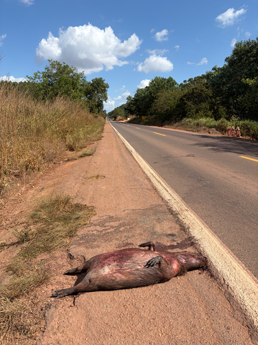
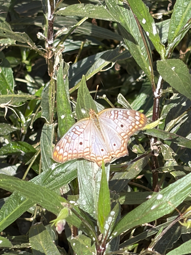
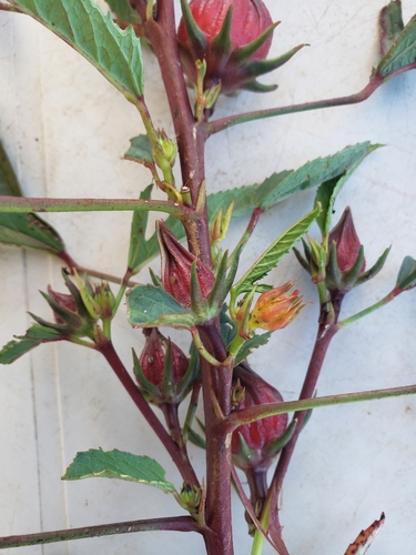
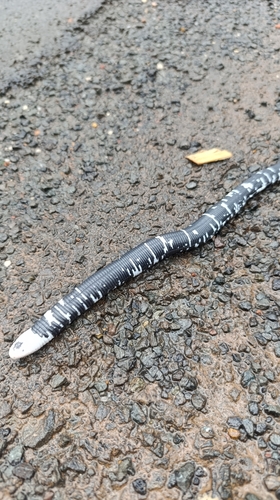
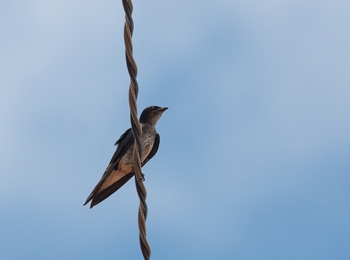
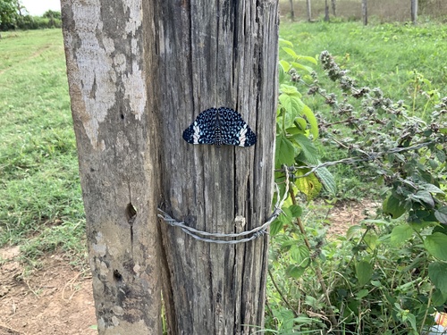
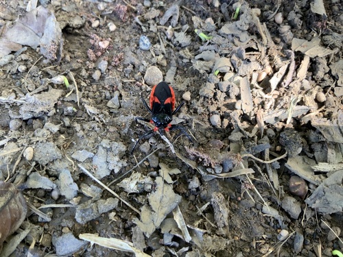
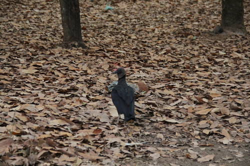
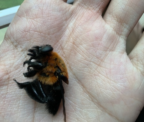
Research-grade observations from iNaturalist (within ~15 mi).
Events
Gallery
Official Identifiers
IBGE — Brazilian Institute of Geography and Statistics
- IBGE code
- 1502939
- UF
- PA
- Mesorregião
- Sudeste Paraense
- Microrregião
- Paragominas
servicodados.ibge.gov.br
Sources
- • Wikipedia
- • Wikidata
- • iNaturalist
- • Open-Meteo / sunrise-sunset.org
- • Wikipedia Pageviews API
- • Open Library
- • Wikidata SPARQL (CC0) — population, area, elevation, inception, head of government, Commons image
- • IBGE — Brazilian national statistics, via servicodados.ibge.gov.br (official municipal code, UF, mesorregião, microrregião, region)
- • IBGE — Brazilian Institute of Geography and Statistics — servicodados.ibge.gov.br