Browse / Brazil / Rio de Janeiro / Duque de Caxias
Duque de Caxias
Rio de Janeirocity

Duque de Caxias
Total population
808,161
Founded
1943
Demographic figures from IBGE. Overview below cites Wikipedia and may reference a different year.
City facts
Facts from Wikidata (CC0).
Overview
Duque de Caxias is a city on Guanabara Bay and part of Rio de Janeiro metropolitan area, southeastern Brazil.
Read more on WikipediaHistory & geography
History
The settlement of the region dates back to the 16th century, to the establishment of the Captaincy of São Vicente. In 1568, Brás Cubas, provider of the captaincies of São Vicente and Santo Amaro, received, in donation of sesmaria, 3,000 fathoms of tested land to the sea and 9,000 fathoms of bottom lands to the Meriti River, cutting the paving stone of the village of Jacutinga. Another of the recipients was Cristóvão Monteiro, who gained lands on the banks of the Iguaçu River. The economic activity that gave rise to the occupation of the place was the cultivation of sugarcane. Corn, beans and rice have also become important ancillary products during this period. In the seventeenth and eighteenth centuries, the administrative division of Iguaçu followed ecclesiastical criteria, that is, the church assumed religious and legal administration over the parishes. Thus, Pilar, Meriti, Estrela and Jacutinga, areas that currently occupy part of the territory of Duque de Caxias, belonged to Iguaçu. The region became an important point of passage for riches from the interior: the gold of Minas Gerais, discovered at the time of crisis of the sugar plantation and the coffee of the Paraíba Valley, which represented about 70% of the entire Brazilian economy at the time. Since the roads on the mainland were few, precarious and dangerous, transportation was mostly done by river. The rivers were not lacking in the region and, due to its location at the Bay of Guanabara, many paths up the mountains towards the interior went through today's Duque de Caxias. The Port of Estrela was the most important landmark of this period. Around it grew a camp that, in the 19th century, was transformed into the municipality of Vila da Estrela. After the decay of mining, the region remained a rest…
Geography
The municipality is limited to the north with Petrópolis and Miguel Pereira, to the east, the Bay of Guanabara and Magé, to the south, with the city of Rio de Janeiro, and in the west, with São João do Meriti, Belford Roxo and Nova Iguaçu. Caxias has a hot climate, however, the 3rd and 4th districts (Imbariê and Xerém) are warm because of the green area and the proximity to the Serra dos Órgãos. The municipality contains part of the Tinguá Biological Reserve, a strictly protected Atlantic Forest conservation unit created in 1989. It contains the Taquara Municipal Nature Park, visited by up to 4,000 people per month in the summer. It also contains part of the Central Rio de Janeiro Atlantic Forest Mosaic, created in 2006. The Meriti River separates Duque de Caxias from Rio de Janeiro city. The Rio Iguaçu separates Duque de Caxias and Nova Iguaçu city. The Rio Sarapuí is the division between the 1st and 2nd districts, and Saracuruna River is the division between the 2nd of the 3rd districts. {| |+Duque de Caxias' Population Growth ! style="background:#efefef;" | Year ! style="background:#efefef;" | Population |----- | 1960 || align="right" | 785 041 |----- | 1980 || align="right" | 776 230 |----- | 1995 || align="right" | 770 669 |----- | 2010 || align="right" | 855 046 |----- | 2012 || align="right" | 858 334 |----- | 2013 || align="right" | 873 921 |} The population of Duque de Caxias is 873,921, up from the 785,041 in 1960. The city is not used to have an expressive index of growing population since it was founded. According to 2010 census, whites were 29.5%, brown (mulato and mixed races) were 58.8% and black people were representing 11.5%. Other races were representing 0.2% of population.
Excerpted from the corresponding Wikipedia article (CC BY-SA).
Geography
Coordinates & boundaries from the US Census TIGER/Line shapefiles.
Climate
Air quality
Walkability
Amenities nearby
Wildlife & biodiversity
Most-observed species
- Great KiskadeePitangus sulphuratus (Linnaeus, 1766) · Aves2,823
- Ruddy Ground-DoveColumbina talpacoti (Temminck, 1810) · Aves2,486
- Rock PigeonColumba livia J.F.Gmelin, 1789 · Aves2,320
- Black VultureCoragyps atratus (Bechstein, 1793) · Aves2,303
- BananaquitCoereba flaveola (Linnaeus, 1758) · Aves2,069
- Palm TanagerThraupis palmarum (Wied-Neuwied, 1821) · Aves1,934
- Southern House WrenTroglodytes musculus J.F.Naumann, 1823 · Aves1,708
- Swallow-tailed HummingbirdEupetomena macroura (J.F.Gmelin, 1788) · Aves1,651
Citizen-science & research observations from the Global Biodiversity Information Facility (GBIF).
Earthquake history
Events from the USGS Earthquake Catalog (global) (FDSN Event Web Service).
Photos
Sights & places nearby
Notable people from here


People born within ~10 km, from Wikidata (CC0). Click any name for their Wikipedia article.
Geography & sun
Elevation, sunrise/sunset and daylight from Open-Meteo. Solar climatology from NASA POWER.
Nearby airports
Public attention
Pageview totals from the Wikimedia Pageviews API.
Books about Duque de Caxias


Search results from Open Library.
Recent natural events nearby
Ground air-quality sensors
Recently spotted species
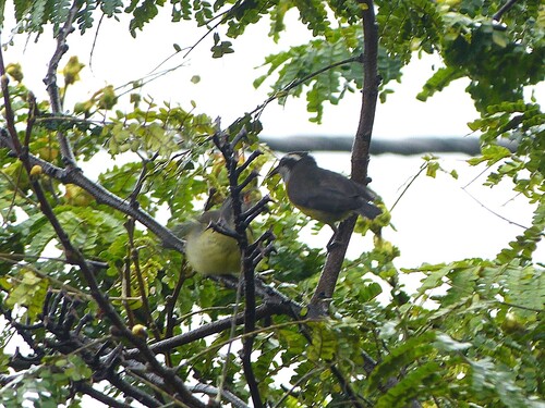
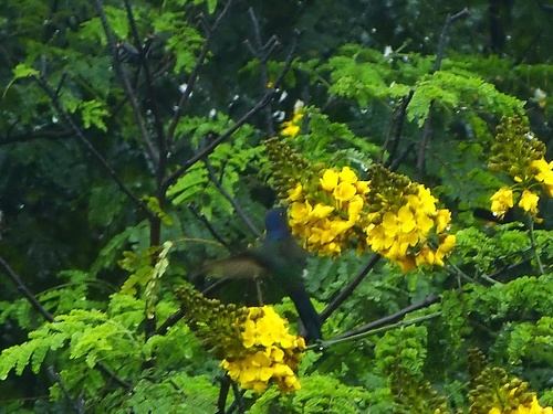
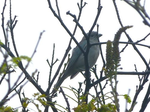
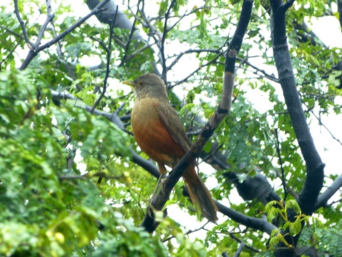
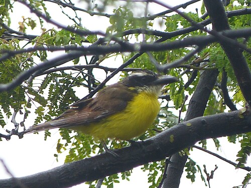
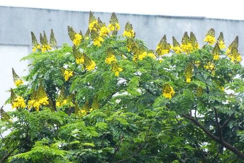
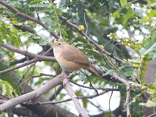
Research-grade observations from iNaturalist (within ~15 mi).
Events
Gallery
Official Identifiers
IBGE — Brazilian Institute of Geography and Statistics
- IBGE code
- 3301702
- UF
- RJ
- Mesorregião
- Metropolitana do Rio de Janeiro
- Microrregião
- Rio de Janeiro
servicodados.ibge.gov.br
Sources
- • Wikipedia
- • Wikidata
- • USGS Earthquake Catalog (global feed)
- • GBIF (Global Biodiversity Information Facility)
- • iNaturalist
- • Open-Elevation
- • Open-Meteo / sunrise-sunset.org
- • Wikipedia Pageviews API
- • Open Library
- • Wikidata SPARQL (CC0) — population, area, elevation, inception, head of government, Commons image
- • IBGE — Brazilian national statistics, via servicodados.ibge.gov.br (official municipal code, UF, mesorregião, microrregião, region)
- • IBGE — Brazilian Institute of Geography and Statistics — servicodados.ibge.gov.br