Browse / Brazil / Piauí / Eugenópolis
Eugenópolis
Piauívillage
Total population
713
Air quality index
Demographic figures from IBGE. Overview below cites Wikipedia and may reference a different year.
City facts
Overview
Eugenópolis sits in Piauí, Brazil and is identified as a small village. Located at -9.214°, -44.442°, Eugenópolis occupies a equatorial portion of the southern hemisphere. Recent open-data figures place its population at about 713. Solar-resource estimates put the area at about 2,126 kWh/m² of solar irradiance per year with sunshine for roughly 83% of daylight hours. Its latitude implies a climate characterised by hot and humid year-round with little seasonal temperature variation. Long-term weather observations show average highs near 91.6°F and lows near 71.8°F with about 31 in of annual precipitation (a moderate total). Detailed open-data panels follow, covering demographics, climate, geography, wildlife and nearby settlements.
Summary composed automatically from structured open data on this page. See our Terms for details.
History & geography
Geography
Coordinates & boundaries from the US Census TIGER/Line shapefiles.
Climate
10-year averages from ERA5 reanalysis (Open-Meteo).
Air quality
Current readings from Open-Meteo Air Quality API (Copernicus CAMS European reanalysis).
Walkability
Amenities nearby
Wildlife & biodiversity
Most-observed species
- Mexican FritillaryEuptoieta hegesia (Cramer, 1779) · Insecta5
- Gray CrackerHamadryas februa (Hübner) · Insecta4
- Dione vanillae (Linnaeus, 1758)Dione vanillae (Linnaeus, 1758) · Insecta3
- Violet-winged GrasshopperTropidacris collaris (Stoll, 1813) · Insecta3
- Picui Ground-DoveColumbina picui (Temminck, 1813) · Aves3
- Hieroglyphic mothDiphthera festiva Fabricius, 1775 · Insecta3
- White PeacockAnartia jatrophae (Linnaeus, 1763) · Insecta3
- South American MonarchDanaus erippus (Cramer, 1775) · Insecta3
Citizen-science & research observations from the Global Biodiversity Information Facility (GBIF).
Earthquake history
Events from the USGS Earthquake Catalog (global) (FDSN Event Web Service).
Photos
Sights & places nearby
Notable people from here
Nearby places in Piauí
- Barra Verde1.7 mi away · pop. 271
- Couve6.5 mi away
- Currais14.1 mi away · pop. 4,854
- Taboca14.7 mi away · pop. 140
- Marcos Júlio (Gruta Bela)17.9 mi away · pop. 335
- Brejo da Conceição20.9 mi away · pop. 519
- Catuabal29.7 mi away
- Cristino Castro31.3 mi away · pop. 10,503
- Paus35.6 mi away · pop. 628
- Anajá37.5 mi away · pop. 150
- Brejo Novo38.9 mi away · pop. 95
- Barra do Correntinho46.3 mi away · pop. 86
Geography & sun
Elevation, sunrise/sunset and daylight from Open-Meteo. Solar climatology from NASA POWER.
Nearby airports
Public attention
Books about this place
Recent natural events nearby
Ground air-quality sensors
Recently spotted species
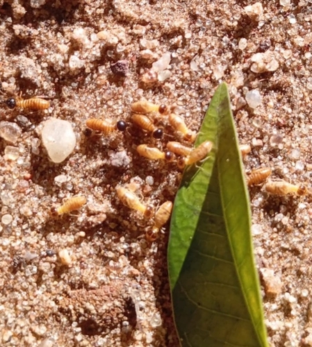
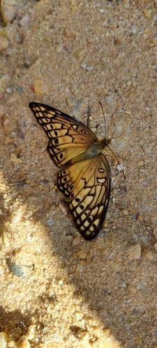
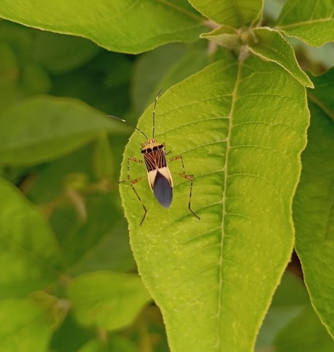
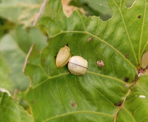
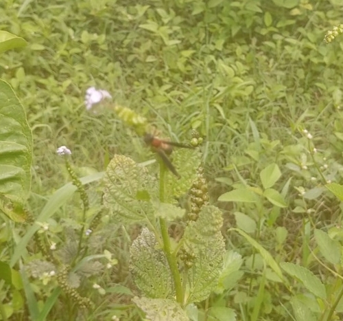
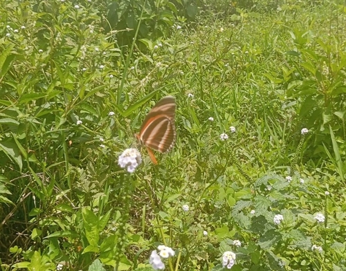
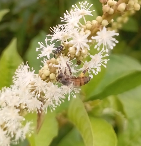
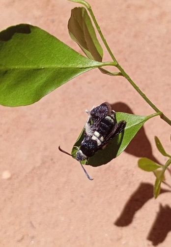
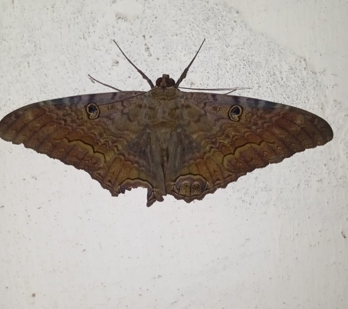
Research-grade observations from iNaturalist (within ~15 mi).
Events
Gallery
Geotagged photos within ~6 miles of Eugenópolis, from Wikimedia Commons contributors.


Photos via Wikimedia Commons — see each image page for license & attribution.
Official Identifiers
IBGE — Brazilian Institute of Geography and Statistics
- IBGE code
- 3124906
- Population (Wikidata)
- 10,801
- Wikidata
- Q1790798
servicodados.ibge.gov.br
Sources
- • Open-Meteo (ERA5 reanalysis)
- • Wikimedia Commons
- • Wikidata
- • Open-Meteo Air Quality (CAMS)
- • USGS Earthquake Catalog (global feed)
- • GBIF (Global Biodiversity Information Facility)
- • iNaturalist
- • Open-Meteo / sunrise-sunset.org
- • IBGE — Brazilian national statistics, via servicodados.ibge.gov.br (official municipal code, UF, mesorregião, microrregião, region)
- • IBGE — Brazilian Institute of Geography and Statistics — servicodados.ibge.gov.br