Browse / Brazil / Goiás / Flores de Goiás
Flores de Goiás
Goiástown

Flores de Goiás
Total population
13,744
Demographic figures from IBGE. Overview below cites Wikipedia and may reference a different year.
City facts
Facts from Wikidata (CC0).
Overview
Flores de Goiás is a municipality in northeastern Goiás state, Brazil.
Read more on WikipediaHistory & geography
History
Flores began in 1838 as a district of the now extinct municipality of Forte. In 1907 the district was transferred to the municipality of Sítio d'Abadia. In 1953 the name was changed to Urutagua and finally in 1963 the name was changed again to Flores de Goiás and it became its own municipality.
Geography
Located in the Vão do Paranã statistical micro-region, Flores has boundaries with Buritis, Sítio d'Abadia, Vila Boa, Alvorada do Norte, Iaciara, Nova Roma, São João d'Aliança, Formosa and Alto Paraíso de Goiás. The distance to Goiânia is 438 km. Highway connections with Goiânia are made by BR-153 / Anápolis / GO-060 / Alexânia / Planaltina / Formosa / GO-020 / BR-030 / Vila Boa / GO-114. The Rio Paranã supplies much of the water for irrigation of the crops and filling up of small dams for livestock raising. Other rivers of importance are: Macacos, Piripiri, Santa Maria, Corrente, Canabrava, Bonifácio, Gameleira and Macacão. The relief is varied with a mixture of mountains, plains, and uplands. The main climate is semi-humid hot tropical, with four to five dry months. The vegetation still shows traces of native tropical forest.
Excerpted from the corresponding Wikipedia article (CC BY-SA).
Geography
Coordinates & boundaries from the US Census TIGER/Line shapefiles.
Climate
Air quality
Walkability
Amenities nearby
Wildlife & biodiversity
Most-observed species
- Southern LapwingVanellus chilensis (Molina, 1782) · Aves5
- Savanna HawkButeogallus meridionalis (Latham, 1790) · Aves4
- Ruddy Ground-DoveColumbina talpacoti (Temminck, 1810) · Aves4
- Great EgretArdea alba Linnaeus, 1758 · Aves4
- Snowy EgretEgretta thula (Molina, 1782) · Aves3
- Wood StorkMycteria americana Linnaeus, 1758 · Aves3
- Scaled DoveColumbina squammata (R.Lesson, 1831) · Aves3
- Green iguanaIguana iguana (Linnaeus, 1758) · Squamata2
Citizen-science & research observations from the Global Biodiversity Information Facility (GBIF).
Earthquake history
Events from the USGS Earthquake Catalog (global) (FDSN Event Web Service).
Photos
Sights & places nearby
Notable people from here
Nearby places in Goiás
- Saranã12.6 mi away
- Strass Burger19.3 mi away
- Cormari29.1 mi away
- Mineirinha31.6 mi away
- Altaca32.1 mi away
- Ilha Bela33.3 mi away
- Barreiro da Serra37.7 mi away
- Retiro da Mata37.9 mi away
- Alto Paraíso de Goiás38.8 mi away · pop. 10,306
- São Sebastião da Nova Rom40.5 mi away
- Martinópolis de Goiás40.6 mi away
- Buritinópolis40.8 mi away · pop. 3,145
Geography & sun
Elevation, sunrise/sunset and daylight from Open-Meteo. Solar climatology from NASA POWER.
Nearby airports
Public attention
Pageview totals from the Wikimedia Pageviews API.
Books about Flores de Goiás


Search results from Open Library.
Recent natural events nearby
Ground air-quality sensors
Recently spotted species
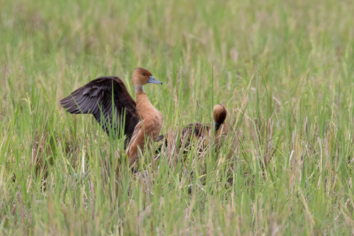
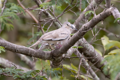
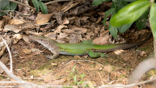
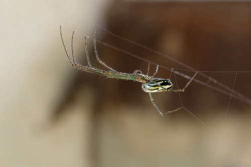
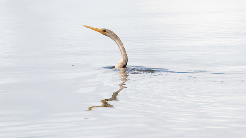
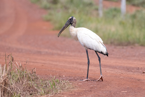
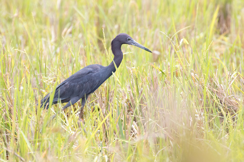
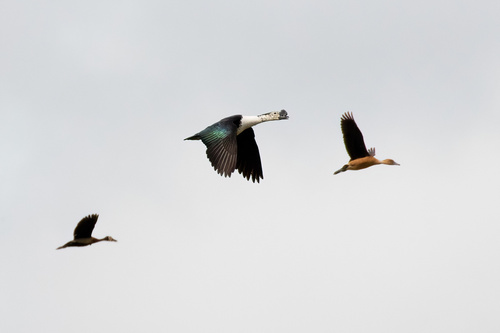

Research-grade observations from iNaturalist (within ~15 mi).
Events
Gallery
Official Identifiers
IBGE — Brazilian Institute of Geography and Statistics
- IBGE code
- 5207907
- UF
- GO
- Mesorregião
- Leste Goiano
- Microrregião
- Vão do Paranã
servicodados.ibge.gov.br
Sources
- • Wikipedia
- • Wikidata
- • USGS Earthquake Catalog (global feed)
- • GBIF (Global Biodiversity Information Facility)
- • iNaturalist
- • Open-Meteo / sunrise-sunset.org
- • Wikipedia Pageviews API
- • Open Library
- • IBGE — Brazilian national statistics, via servicodados.ibge.gov.br (official municipal code, UF, mesorregião, microrregião, region)
- • IBGE — Brazilian Institute of Geography and Statistics — servicodados.ibge.gov.br