Browse / Brazil / Santa Catarina / Florianópolis
Florianópolis
Santa Catarinacity

Florianópolis
Total population
537,211
Founded
1726
Demographic figures from IBGE. Overview below cites Wikipedia and may reference a different year.
City facts
Sister cities
Facts from Wikidata (CC0).
Overview
Florianópolis is the capital and second largest city of the state of Santa Catarina, in the South Region of Brazil. The city encompasses Santa Catarina Island and surrounding small islands, as well as part of the mainland. It has a population of 537,211, according to the 2022 Brazilian census, the second-most populous city in the state, and the 39th in Brazil. The metropolitan area has an estimated population of 1,111,702, the 21st largest in the country. The city is known for having the country's third-highest Human Development Index score among all Brazilian cities (0.847).
Read more on WikipediaHistory & geography
History
Carijós Indians, a Tupi people, were the first inhabitants of the Florianópolis area. The traces of its presence are verified through archaeological sites and sambaquis dating up to 4000 years ago. The Indians called the place Meiembipe, meaning "mountain along the channel." Around 1514, the Portuguese landed and gave the area the name Ilha dos Patos (Island of the Ducks), but in 1526 it was renamed Ilha de Santa Catarina (Saint Catherine's Island). The area supplied the vessels that went to the River Plate (Río de la Plata) Basin. The official settlement of the island began in 1673 with the arrival of bandeirante Francisco Dias Velho's agricultural company, and it continued in 1678 with the construction of a chapel consecrated to Nossa Senhora do Desterro. At this time, a villa began to take form, slowly becoming a colonial settlement. To guarantee its domain, the Portuguese Crown elevated Santa Catarina Island to the category of village in 1714 with the name of Nossa Senhora do Desterro, and already in 1726, they promoted it again, now to the category of town. From this date on, Vila do Desterro and mainly the port began to have a strategic function because it was situated halfway between Rio de Janeiro and Buenos Aires, possibly two of the largest seaside cities of South America at that time. For this reason, in 1739, the Capitania da Ilha de Santa Catarina was created, and Desterro became its capital. Soon, the most expressive seaside defensive ring of Southern Brazil started to be built: Santa Cruz, São José da Ponta Grossa, Santo Antonio, and Nossa Senhora da Conceição da Barra do Sul fortresses. With the coming of the Captaincy, the population began to grow, but the great population growth happened between 1747 and 1756 with the arrival of about 6,000…
Geography
Florianópolis lies within the Atlantic Forest, which has an extremely diverse and unique mix of vegetation and forest types. The main ecoregion is the coastal Atlantic forest, the narrow strip of about along the coast, which covers about 20 percent of the region. This forest extends as far as inland, and its range is as high as 2,000 meters above sea level. Altitude determines at least three vegetation types in the Atlantic Forest: the lowland forest of the coastal plain, montane forests, and the high-altitude grassland or "campo rupestre." The municipality contains part of the offshore Marinha do Arvoredo Biological Reserve, a fully protected conservation unit established in 1990. It also contains part of the Serra do Tabuleiro State Park, a mountainous area covered in lush forests. The park protects the sources of the Vargem do Braço, Cubatão, and Una rivers, which supply most of the drinking water for greater Florianópolis and the south coast region. The municipality contains the Rio Vermelho State Park in the northeast of Santa Catarina Island, created in 2007. There is significant precipitation, which is well distributed throughout the year. The annual normal rainfall for the period of 1961 through 1990 was . There is no dry season, and summer generally is the rainiest season. Increased rainfall occurs from January to March, with a median of per month, and from April to December, there is somewhat less precipitation, averaging per month. The driest months are from June to August. Florianópolis experiences a warm humid subtropical climate (Koppen: Cfa), falling just short of a true tropical climate. The seasons of the year are distinct, with a well-defined summer and winter, and characteristic weather for autumn and spring. Due to the proximity of the…
Excerpted from the corresponding Wikipedia article (CC BY-SA).
Geography
Coordinates & boundaries from the US Census TIGER/Line shapefiles.
Climate
Air quality
Walkability
Amenities nearby
Wildlife & biodiversity
Most-observed species
- Great KiskadeePitangus sulphuratus (Linnaeus, 1766) · Aves4,412
- Rufous HorneroFurnarius rufus (Gmelin, 1788) · Aves3,808
- Ruddy Ground-DoveColumbina talpacoti (Temminck, 1810) · Aves3,645
- Saffron FinchSicalis flaveola (Linnaeus, 1766) · Aves3,644
- Southern House WrenTroglodytes musculus J.F.Naumann, 1823 · Aves3,163
- House SparrowPasser domesticus (Linnaeus, 1758) · Aves3,035
- Southern LapwingVanellus chilensis (Molina, 1782) · Aves2,948
- Black VultureCoragyps atratus (Bechstein, 1793) · Aves2,673
Citizen-science & research observations from the Global Biodiversity Information Facility (GBIF).
Earthquake history
Most recent
- M 3.2 — 2018-04-134 km NE of Santo Amaro da Imperatriz, Brazil
Events from the USGS Earthquake Catalog (global) (FDSN Event Web Service).
Photos
Sights & places nearby
Notable people from here


People born within ~10 km, from Wikidata (CC0). Click any name for their Wikipedia article.
Nearby places in Santa Catarina
- Santo Amaro da Imperatriz15.2 mi away · pop. 27,272
- Águas Mornas18.2 mi away · pop. 6,743
- Canelinha26.5 mi away · pop. 12,821
- Garopaba30.1 mi away · pop. 29,959
- Porto Belo30.6 mi away · pop. 27,688
- Nova Trento31.7 mi away · pop. 13,727
- Anitápolis41.3 mi away · pop. 3,593
- Botuverá42.3 mi away · pop. 5,363
- Guabiruba44 mi away · pop. 24,543
- São Martinho47.2 mi away · pop. 3,405
- Ilhota51 mi away · pop. 17,046
- Vidal Ramos51.8 mi away · pop. 6,189
Geography & sun
Elevation, sunrise/sunset and daylight from Open-Meteo. Solar climatology from NASA POWER.
Nearby airports
Public attention
Pageview totals from the Wikimedia Pageviews API.
Books about Florianópolis
Search results from Open Library.
Recent natural events nearby
Ground air-quality sensors
Recently spotted species
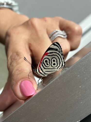
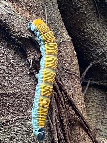
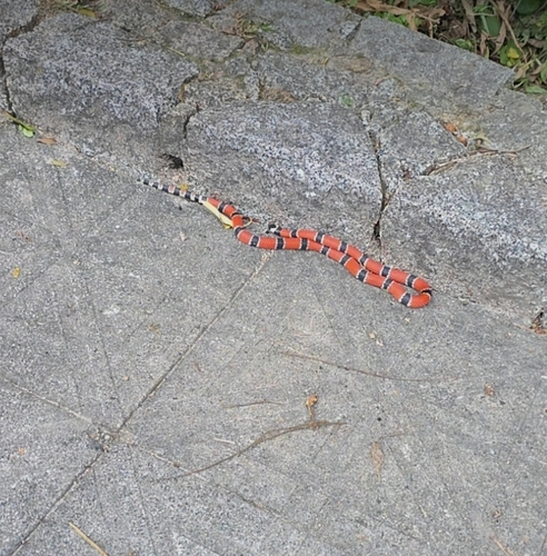
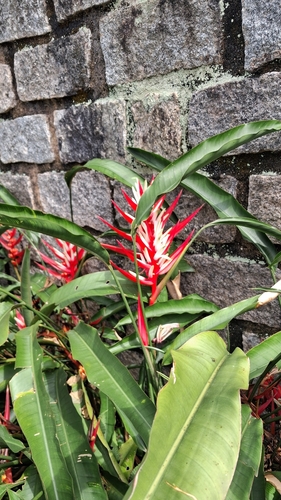
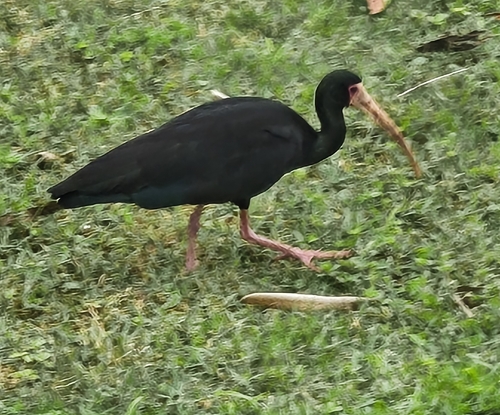
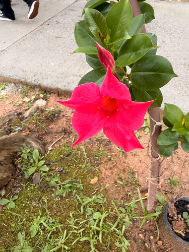
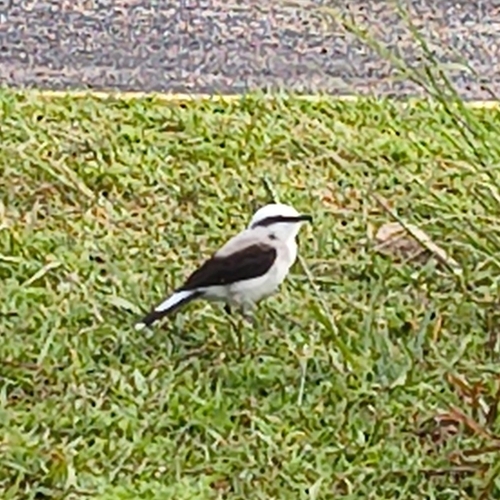
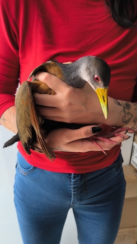
Research-grade observations from iNaturalist (within ~15 mi).
Events
Notable, recurring, and historical events associated with Florianópolis, sourced from Wikidata.
Source: Wikidata (CC0).
Gallery
Official Identifiers
IBGE — Brazilian Institute of Geography and Statistics
- IBGE code
- 4205407
- UF
- SC
- Mesorregião
- Grande Florianópolis
- Microrregião
- Florianópolis
servicodados.ibge.gov.br
Sources
- • Wikipedia
- • Wikidata
- • USGS Earthquake Catalog (global feed)
- • GBIF (Global Biodiversity Information Facility)
- • iNaturalist
- • Open-Meteo / sunrise-sunset.org
- • Wikipedia Pageviews API
- • Open Library
- • Wikidata SPARQL (CC0) — population, area, elevation, inception, head of government, Commons image
- • IBGE — Brazilian national statistics, via servicodados.ibge.gov.br (official municipal code, UF, mesorregião, microrregião, region)
- • IBGE — Brazilian Institute of Geography and Statistics — servicodados.ibge.gov.br