Browse / Brazil / Ceará / Fortaleza
Fortaleza
Cearácity

Fortaleza
Total population
2,428,708
Founded
1726
Air quality index
Demographic figures from IBGE. Overview below cites Wikipedia and may reference a different year.
City facts
Sister cities
Facts from Wikidata (CC0).
Overview
Fortaleza is the state capital of Ceará, located in Northeastern Brazil. It is Brazil's 4th largest city—Fortaleza surpassed Salvador in 2024 census with a population of slightly over 2.5 million—and 12th among cities with the highest gross domestic product. It forms the core of the Fortaleza metropolitan area, which is home to almost 4 million people.
Read more on WikipediaHistory & geography
History
Colonisation began in 1603 when Portugal was part of the Iberian Union, when the Portuguese Pero Coelho de Souza constructed the Fort of São Tiago and founded the settlement of Nova Lisboa (New Lisbon). After a victory over the French in 1612, Martins Soares Moreno expanded the Fort of São Tiago and changed its name to Forte de São Sebastião. In 1630 the Dutch invaded the Brazilian Northeast and in 1637 they took the Fort of São Sebastião and ruled over Ceará. In battles with the Portuguese and natives in 1644 the fort was destroyed. Fortaleza was officially founded as a village 1726, becoming the capital of Ceará state in 1799. During the 19th century, Fortaleza was consolidated as an urban centre in Ceará, supported by the cotton industry. With the transformation of the city into a regional export center and with the increase of direct navigation to Europe, the customs building of Fortaleza was built in 1812. In 1824, the city was targeted by the revolutionaries of Confederation of the Equator. The city gained a number of new districts in the 1930s, including Messejana and Porangaba. In 1954, the first university in the city was created, the Universidade Federal do Ceará (UFC). In 1983 the city started to integrate the territory of the new city of Maracanaú, which, just some years ago, was made again part of the Greater Fortaleza (the city's Metropolitan area). In the 1980s, Fortaleza exceeded Recife in population terms, becoming the second most populous city in Northeastern Brazil, with 2,571,896 inhabitants.
Geography
Fortaleza has a typical tropical climate, specifically a tropical wet and dry climate (Köppen climate classification: Aw/As), with high temperatures and relative humidity throughout the year. However, these conditions are usually relieved by pleasant winds blowing from the ocean. Average temperatures are not much different throughout the year. December is the warmest month, with a high of and low of . The rainy season spans from January to July, with rainfall particularly prodigious in March and April. The average annual temperature is . The relative humidity in Fortaleza is 77.5%, with average annual rainfall of . There is usually rain during the first seven months of the year from January to July. During this period, relative humidity is high. Fortaleza's climate is usually very dry from August to December, with very little rainfall. In the notorious drought year of 1877 as little as fell, and in 1958 only , but in the Nordeste's record wet year of 1985 Fortaleza received . In Fortaleza there are some remaining areas of mangrove in preserved areas, including Cocó Park. Ten miles offshore is the Pedra da Risca do Meio Marine State Park, created in 1997 to protect the reefs. The vegetation of Fortaleza is typically coastal. The restinga areas are found in dune regions near the mouths of the Ceará, Cocó and Pacoti rivers, in the beds of which there is still a mangrove forest. In other green areas of the city, there is no longer native vegetation, consisting of varied vegetation, fruit trees primarily. The city is home to seven environmental conservation units. These are the Sabiaguaba Dunes Municipal Natural Park, the Sabiaguaba Environmental Protection Area, the Maraponga Lagoon Ecological Park, the Cocó Ecological Park, the Ceará River Estuary Environmental…
Excerpted from the corresponding Wikipedia article (CC BY-SA).
Geography
Coordinates & boundaries from the US Census TIGER/Line shapefiles.
Climate
10-year averages from ERA5 reanalysis (Open-Meteo).
Air quality
Current readings from Open-Meteo Air Quality API (Copernicus CAMS European reanalysis).
Walkability
Amenities nearby
Wildlife & biodiversity
Most-observed species
- Great KiskadeePitangus sulphuratus (Linnaeus, 1766) · Aves925
- Sayaca TanagerThraupis sayaca (Linnaeus, 1766) · Aves734
- Yellow-chevroned ParakeetBrotogeris chiriri (Vieillot, 1818) · Aves599
- Ruddy Ground-DoveColumbina talpacoti (Temminck, 1810) · Aves598
- BananaquitCoereba flaveola (Linnaeus, 1758) · Aves587
- Tropical KingbirdTyrannus melancholicus Vieillot, 1819 · Aves565
- Rock PigeonColumba livia J.F.Gmelin, 1789 · Aves536
- Scaled DoveColumbina squammata (R.Lesson, 1831) · Aves534
Citizen-science & research observations from the Global Biodiversity Information Facility (GBIF).
Earthquake history
Events from the USGS Earthquake Catalog (global) (FDSN Event Web Service).
Photos
Sights & places nearby
Notable people from here


People born within ~10 km, from Wikidata (CC0). Click any name for their Wikipedia article.
Nearby places in Ceará
Geography & sun
Elevation, sunrise/sunset and daylight from Open-Meteo. Solar climatology from NASA POWER.
Nearby airports
Public attention
Pageview totals from the Wikimedia Pageviews API.
Books about Fortaleza
Search results from Open Library.
Recent natural events nearby
Ground air-quality sensors
Recently spotted species
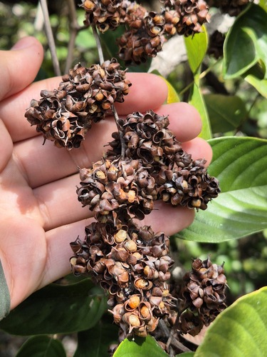
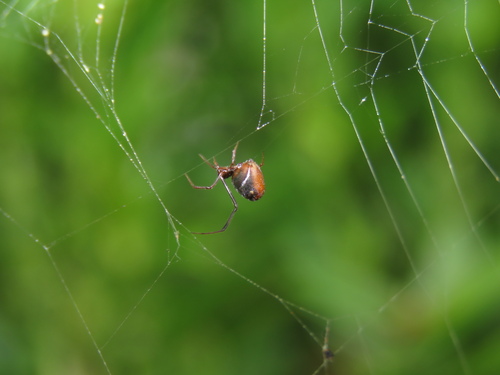
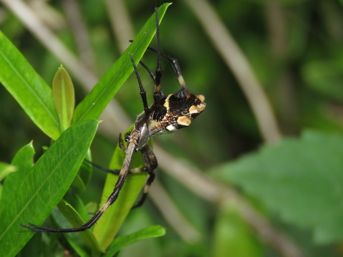
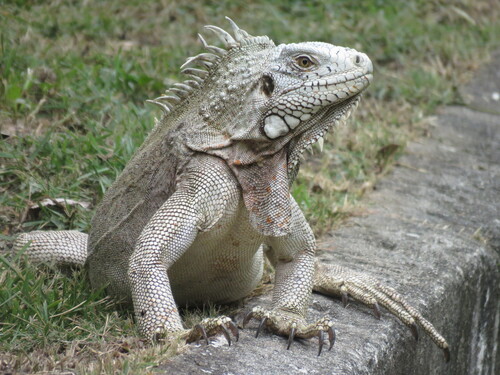
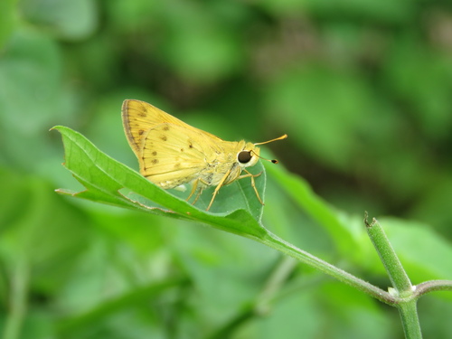
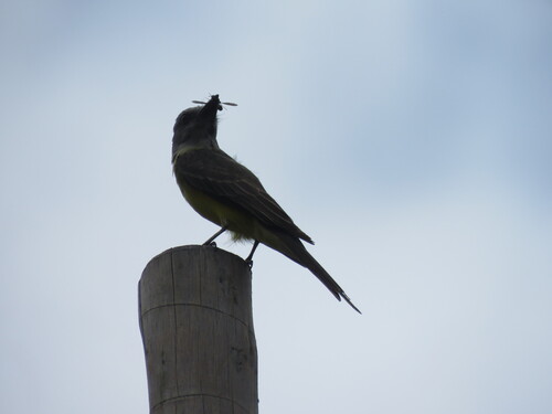
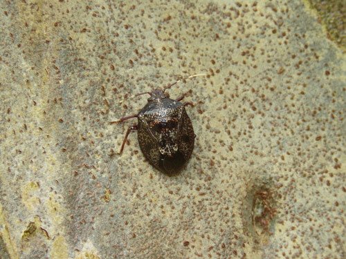
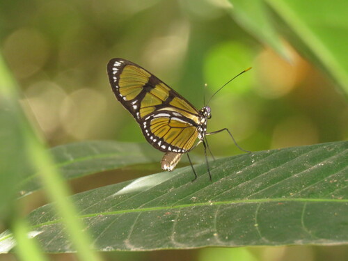
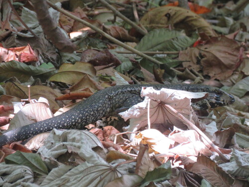
Research-grade observations from iNaturalist (within ~15 mi).
Events
Notable, recurring, and historical events associated with Fortaleza, sourced from Wikidata.
Source: Wikidata (CC0).
Gallery
Geotagged photos within ~6 miles of Fortaleza, from Wikimedia Commons contributors.
_03.jpg) 0.1 mi
0.1 mi_01.jpg) 0.1 mi
0.1 mi_02.jpg) 0.1 mi
0.1 mi_04.jpg) 0.1 mi
0.1 mi_05.jpg) 0.1 mi
0.1 mi 0.1 mi
 0.1 mi
 0.1 mi
 0.1 mi
 0.2 mi
 0.2 mi
 0.2 mi
 0.2 mi
 0.2 mi
 0.2 mi
 0.2 mi
 0.2 mi
 0.2 mi
 0.2 mi
 0.2 mi
 0.2 mi
 0.2 mi
 0.2 mi
 0.2 mi
Photos via Wikimedia Commons — see each image page for license & attribution.
Official Identifiers
IBGE — Brazilian Institute of Geography and Statistics
- IBGE code
- 2304400
- UF
- CE
- Mesorregião
- Metropolitana de Fortaleza
- Microrregião
- Fortaleza
servicodados.ibge.gov.br
Sources
- • Wikipedia
- • Open-Meteo (ERA5 reanalysis)
- • Wikimedia Commons
- • Wikidata
- • Open-Meteo Air Quality (CAMS)
- • USGS Earthquake Catalog (global feed)
- • GBIF (Global Biodiversity Information Facility)
- • iNaturalist
- • Open-Meteo / sunrise-sunset.org
- • Wikipedia Pageviews API
- • Open Library
- • Wikidata SPARQL (CC0) — population, area, elevation, inception, head of government, Commons image
- • IBGE — Brazilian national statistics, via servicodados.ibge.gov.br (official municipal code, UF, mesorregião, microrregião, region)
- • IBGE — Brazilian Institute of Geography and Statistics — servicodados.ibge.gov.br