Browse / Brazil / Pernambuco / Garanhuns
Garanhuns
Pernambucocity

Garanhuns
Total population
142,526
Founded
1879
Demographic figures from IBGE. Overview below cites Wikipedia and may reference a different year.
City facts
Facts from Wikidata (CC0).
Overview
Garanhuns is a Brazilian municipality in the Agreste region of the state of Pernambuco, located 230 kilometers from the state capital, Recife. It covers an area of 458.552 km² and belongs to the Caruaru Intermediate Geographic Region, serving as the principal and most populous municipality in the Garanhuns Immediate Geographic Region. According to the Brazilian Institute of Geography and Statistics (IBGE) in 2022 Census, Garanhuns had an estimated population of approximately 142,506 inhabitants, making it the ninth most populous municipality in Pernambuco, the third most populous in the state's interior, and the second most populous in the Pernambucan Agreste region.
Read more on WikipediaHistory & geography
History
European settlement of the lands now comprising Garanhuns began in the 17th century. White colonists and enslaved Africans escaping Dutch domination in Dutch Brazil established communities in the region's Caatinga moist-forest enclaves, establishing scattered villages. On 29 September 1658, Mestre de campo Nicolau Aranha Pacheco, Captain Cosmo de Brito Cação, Antonio Fernandes Aranha, and Ambrósio Aranha de Farias received a land grant of approximately 20 leagues from the acting governor, André Vidal de Negreiros. This grant included two plots: one in the fields of Garanhuns and another in Panema. That same year, the Garcia Farm was established in the area now encompassing the municipal seat. Evidence suggests the farm was thriving until around 1670, when it was destroyed during conflicts with quilombolas from Curica, in Alto do Magano, thereafter known as Tapera do Garcia, later simplified to Tapera. "Tapera" is an Old Tupi word meaning "extinct, destroyed village," now meaning "ruined house, abandoned house" in modern Portuguese. The Palmares War (second half of the 17th century) significantly hindered the region's progress, as farms faced constant threats of territorial reclamation by resistant quilombola communities, forcing white, privileged, and slaveholding populations to abandon them. After the war ended in 1696, the region developed, and in 1699, a royal charter established judicial districts in various parishes in the hinterland, including Garanhuns, which became the seat of the "Ararobá Sertão Captaincy," encompassing the area between Cimbres and Pajeú das Flores. By the late 19th century, the construction of a railway connecting Garanhuns to the capital of Pernambuco spurred significant economic and population growth, driven by the service industry. The…
Geography
According to the Brazilian Institute of Geography and Statistics, Garanhuns spans km², with km² forming the urban area and km² comprising the rural zone. It is located at 08°53'25" south latitude and 36°29'34" west longitude, approximately 230 km from the state capital. Garanhuns lies within the Reworked Surfaces geo-environmental unit, characterized by heavily eroded terrain with deeply incised valleys. Its altitude is 841 meters above sea level at the city's birthplace, though some areas, such as Monte Magano ( m), exceed meters. Garanhuns is part of the Mundaú River basin, with its main watercourses being the Mundaú, Canhoto, and Inhaúma rivers, alongside streams such as São Pedro, São Vicente, Mimosinho, Seco, Mocambo, Repartição, Imbé, Mochila, Pacheco, das Pedras, Baixa da Lama, Estrondo, da Laje, do Dunga, Periperi, and Timbó. All watercourses are intermittent, following a dendritic drainage pattern. The most significant reservoirs are the Mundaú, with a capacity of m³, and the Garanhuns public reservoir. |- ! Month ! Accumulation ! Date ! Month ! Accumulation ! Date |- | January | mm | 25 January 1969 | July | mm | 2 July 2022 |- | February | mm | 13 February 1976 | August | mm | 17 August 1991 |- | March | mm | 25 March 2005 | September | mm | 5 September 2003 |- | April | mm | 9 April 2010 | October | mm | 5 October 1965 |- | May | mm | 26 May 2017 | November | mm | 12 November 1968 |- | June | mm | 19 June 2010 | December | mm | 27 December 2002 |- | colspan="6" style="font-size:84%;" | Period: 1963–present |} Garanhuns has a tropical savanna climate, featuring a dry summer and wet winter, categorized as As in the Köppen climate classification (bordering on a Mediterranean climate, type Csa). dropping to °C or lower during the…
Excerpted from the corresponding Wikipedia article (CC BY-SA).
Geography
Coordinates & boundaries from the US Census TIGER/Line shapefiles.
Climate
Air quality
Walkability
Amenities nearby
Wildlife & biodiversity
Earthquake history
Photos
Sights & places nearby
Notable people from here


People born within ~10 km, from Wikidata (CC0). Click any name for their Wikipedia article.
Geography & sun
Nearby airports
Public attention
Books about this place
Recent natural events nearby
Ground air-quality sensors
Recently spotted species


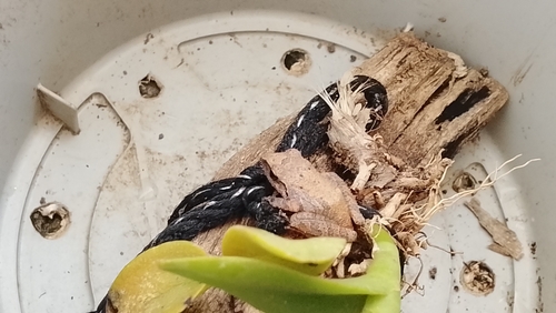

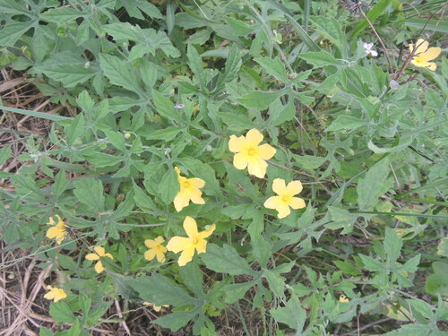
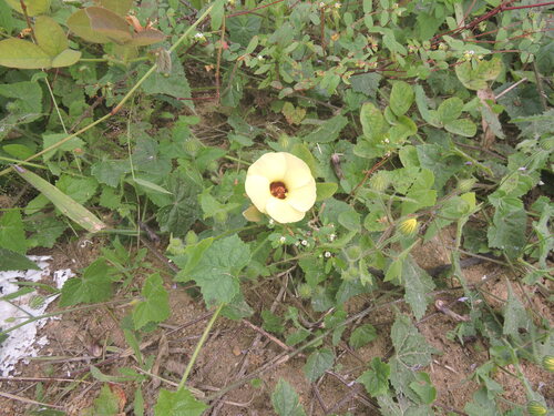
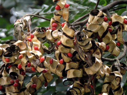
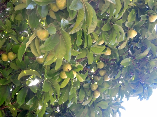

Research-grade observations from iNaturalist (within ~15 mi).
Events
Gallery
Official Identifiers
IBGE — Brazilian Institute of Geography and Statistics
- IBGE code
- 2606002
- UF
- PE
- Mesorregião
- Agreste Pernambucano
- Microrregião
- Garanhuns
servicodados.ibge.gov.br
Sources
- • Wikipedia
- • Wikidata
- • iNaturalist
- • Wikidata SPARQL (CC0) — population, area, elevation, inception, head of government, Commons image
- • IBGE — Brazilian national statistics, via servicodados.ibge.gov.br (official municipal code, UF, mesorregião, microrregião, region)
- • IBGE — Brazilian Institute of Geography and Statistics — servicodados.ibge.gov.br