Browse / Brazil / Goiás / Goiânia
Goiânia
Goiáscity

Goiânia
Total population
1,437,366
Founded
1933
Demographic figures from IBGE. Overview below cites Wikipedia and may reference a different year.
City facts
Sister cities
Facts from Wikidata (CC0).
Overview
Goiânia is the capital and largest city of the Brazilian state of Goiás. With a population of 1,536,097, it is the second-largest city in the Central-West Region and the 10th-largest in the country. Its metropolitan area has a population of 2,890,418, making it the 12th-largest in Brazil. With an area of approximately 739 square kilometres, it has a continuous geography with few hills and lowlands, with flat lands in most of its territory, especially the Meia Ponte River, in addition to Botafogo and Capim Puba streams.
Read more on WikipediaHistory & geography
History
The idea of creating a new state capital had been bounced around from early on in the state of Goiás. The first plan came from D. Marcos de Noronha who in 1753 wanted to establish the state capital in the municipality of Pirenópolis; again in 1863 José Vieira Couto de Magalhães put forward a plan to move the capital to the edge of the Araguaia river. The impetus behind the efforts to move the state capital was the need to locate it in accordance with the economic interests of the state. The first state capital, Vila Boa (today City of Goiás), had been chosen when the economy was based on gold extraction. Later, when cattle-raising and agriculture came to dominate the state's development, the old capital was considered remote. Legislators kept the idea of change alive for a long time. In 1891, the constitutional delegates officially included the idea of transferring the capital in the constitution, which was ratified in 1898 and again in 1918. Vaguely remembered until 1930, the idea became a reality during the government of Pedro Ludovico, who was the new governor appointed for the state of Goiás after the military revolt of 1930. In 1932, a commission was created to choose where the new capital would be built. The choice was the municipality of Campinas. The mayor at the time, Andrelino Rodrigues de Moraes, accepted the plan and donated about 242 acres of his land to build the new state capital. In 1933 the commission decided on the present location and the foundation stone was laid. The plan was for a city of 50,000 with the shape of a concentric radius — streets in the form of a spoke, with the Praça Cívica as the center, with the seats of the state and municipal government — the Palace of Emeralds and the Palace of Campinas. In 1937, a decree was signed…
Geography
The city has a tropical wet and dry climate (Köppen: Aw) with an average temperature of . It has a wet season, from October to April, and a dry one, from May to September. Annual rainfall is around . The lowest temperature ever recorded was on July 18, 2000, in the suburbs. was the lowest recorded downtown, on July 9, 1938. However, such lows are very rare. Temperatures may fall below every winter, mainly in the suburbs. The highest temperature ever recorded was on October 7, 2020. The "cerrado" landscape is characterized by extensive savanna formations crossed by gallery forests and stream valleys and includes various types of vegetation. Humid fields and "buriti" palm paths are found where the water table is near the surface. Alpine pastures occur at higher altitudes and mesophytic forests on more fertile soils. More than 1600 species of mammals, birds and reptiles have been identified in the cerrado, including 180 reptile species, 113 amphibians, 837 birds and 195 mammals (WWF). Among the invertebrates, the most notable are the termites and the leaf-cutter ants ("saúvas"). They are the main herbivores of the cerrado, important to consuming and decomposing of organic matter, as well as constituting an important food source to many other animal species.
Excerpted from the corresponding Wikipedia article (CC BY-SA).
Geography
Coordinates & boundaries from the US Census TIGER/Line shapefiles.
Climate
Air quality
Walkability
Amenities nearby
Wildlife & biodiversity
Most-observed species
- Great KiskadeePitangus sulphuratus (Linnaeus, 1766) · Aves3,328
- Yellow-chevroned ParakeetBrotogeris chiriri (Vieillot, 1818) · Aves3,293
- Picazuro PigeonPatagioenas picazuro (Temminck, 1813) · Aves3,219
- Ruddy Ground-DoveColumbina talpacoti (Temminck, 1810) · Aves2,946
- Rufous HorneroFurnarius rufus (Gmelin, 1788) · Aves2,758
- Saffron FinchSicalis flaveola (Linnaeus, 1766) · Aves2,688
- Southern LapwingVanellus chilensis (Molina, 1782) · Aves2,402
- white-eyed conureAratinga leucophthalma (Statius Muller, 1776) · Aves2,368
Citizen-science & research observations from the Global Biodiversity Information Facility (GBIF).
Earthquake history
Events from the USGS Earthquake Catalog (global) (FDSN Event Web Service).
Photos
Sights & places nearby
Notable people from here


People born within ~10 km, from Wikidata (CC0). Click any name for their Wikipedia article.
Nearby places in Goiás
- Aldeia do Vale6.3 mi away
- Parque dos Buritis8.9 mi away
- Abadia de Goiás13.4 mi away · pop. 19,128
- Santo Antônio de Goiás14 mi away · pop. 7,386
- Caldazinha16.8 mi away · pop. 4,507
- Terezópolis de Goiás17.2 mi away · pop. 7,944
- Roselândia18.8 mi away
- Caturaí22.6 mi away · pop. 5,184
- Goialândia22.9 mi away
- Trevo - Zé Rosário23.7 mi away
- Vila Nova25.1 mi away
- Capelinha26.2 mi away
Geography & sun
Elevation, sunrise/sunset and daylight from Open-Meteo. Solar climatology from NASA POWER.
Nearby airports
Public attention
Pageview totals from the Wikimedia Pageviews API.
Books about Goiânia
Search results from Open Library.
Recent natural events nearby
Ground air-quality sensors
Recently spotted species
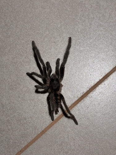
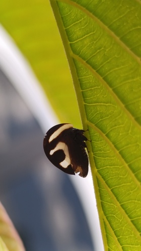
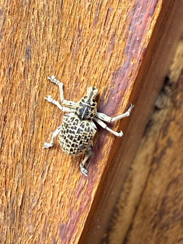
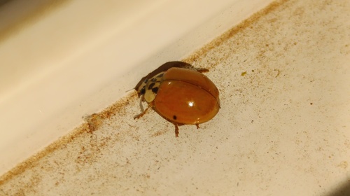
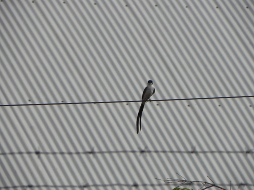
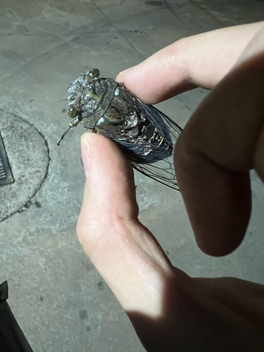
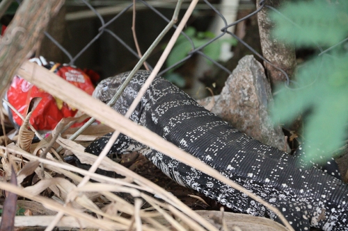
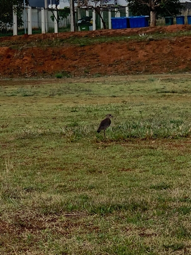
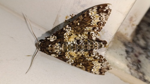
Research-grade observations from iNaturalist (within ~15 mi).
Events
Gallery
Official Identifiers
IBGE — Brazilian Institute of Geography and Statistics
- IBGE code
- 5208707
- UF
- GO
- Mesorregião
- Centro Goiano
- Microrregião
- Goiânia
servicodados.ibge.gov.br
Sources
- • Wikipedia
- • Wikidata
- • USGS Earthquake Catalog (global feed)
- • GBIF (Global Biodiversity Information Facility)
- • iNaturalist
- • Open-Meteo / sunrise-sunset.org
- • Wikipedia Pageviews API
- • Open Library
- • Wikidata SPARQL (CC0) — population, area, elevation, inception, head of government, Commons image
- • IBGE — Brazilian national statistics, via servicodados.ibge.gov.br (official municipal code, UF, mesorregião, microrregião, region)
- • IBGE — Brazilian Institute of Geography and Statistics — servicodados.ibge.gov.br